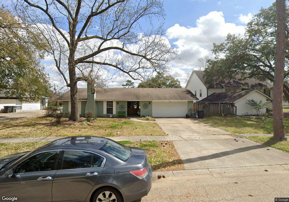
4753 Fleet Dr Baton Rouge, LA 70809
Airline/Jefferson NeighborhoodEstimated Value: $213,000 - $323,000
3
Beds
2
Baths
1,977
Sq Ft
$140/Sq Ft
Est. Value
About This Home
This home is located at 4753 Fleet Dr, Baton Rouge, LA 70809 and is currently estimated at $277,257, approximately $140 per square foot. 4753 Fleet Dr is a home located in East Baton Rouge Parish with nearby schools including Westminster Elementary School, Westdale Middle School, and Tara High School.
Ownership History
Date
Name
Owned For
Owner Type
Purchase Details
Closed on
Aug 10, 2005
Sold by
Derousselle Mary R
Bought by
Ramsey Jonathan N
Current Estimated Value
Home Financials for this Owner
Home Financials are based on the most recent Mortgage that was taken out on this home.
Original Mortgage
$125,000
Outstanding Balance
$65,030
Interest Rate
5.51%
Mortgage Type
New Conventional
Estimated Equity
$212,227
Create a Home Valuation Report for This Property
The Home Valuation Report is an in-depth analysis detailing your home's value as well as a comparison with similar homes in the area
Home Values in the Area
Average Home Value in this Area
Purchase History
| Date | Buyer | Sale Price | Title Company |
|---|---|---|---|
| Ramsey Jonathan N | $140,000 | -- |
Source: Public Records
Mortgage History
| Date | Status | Borrower | Loan Amount |
|---|---|---|---|
| Open | Ramsey Jonathan N | $125,000 |
Source: Public Records
Tax History Compared to Growth
Tax History
| Year | Tax Paid | Tax Assessment Tax Assessment Total Assessment is a certain percentage of the fair market value that is determined by local assessors to be the total taxable value of land and additions on the property. | Land | Improvement |
|---|---|---|---|---|
| 2024 | $1,880 | $22,313 | $1,500 | $20,813 |
| 2023 | $1,880 | $17,850 | $1,500 | $16,350 |
| 2022 | $2,193 | $17,850 | $1,500 | $16,350 |
| 2021 | $2,153 | $17,850 | $1,500 | $16,350 |
| 2020 | $2,115 | $17,850 | $1,500 | $16,350 |
| 2019 | $1,988 | $16,050 | $1,500 | $14,550 |
| 2018 | $1,964 | $16,050 | $1,500 | $14,550 |
| 2017 | $1,964 | $16,050 | $1,500 | $14,550 |
| 2016 | $1,082 | $16,050 | $1,500 | $14,550 |
| 2015 | $866 | $14,000 | $1,500 | $12,500 |
| 2014 | $850 | $14,000 | $1,500 | $12,500 |
| 2013 | -- | $14,000 | $1,500 | $12,500 |
Source: Public Records
Map
Nearby Homes
- 8848 Norfolk Dr
- 4480 Downing Dr
- 8932 Norfolk Dr
- 8554 S Essen Heights Ct
- 8860 Hill Dr
- 8416 E Cypress Point Ct
- 8636 Glen Ellen Dr
- 5436 Houston Dr
- 5535 Houston Dr
- 4056 Drusilla Dr
- 4330 Trevi Ct
- 5564 Houston Dr
- 4009 Downing Dr
- 9058 Baker Dr
- 5633 Houston Dr
- 3380 Bluebonnet Blvd
- 4509 Bluebonnet Rd
- 45 Jamestowne Ct
- 4355 Bluebonnet Rd
- 52 Jamestowne Ct