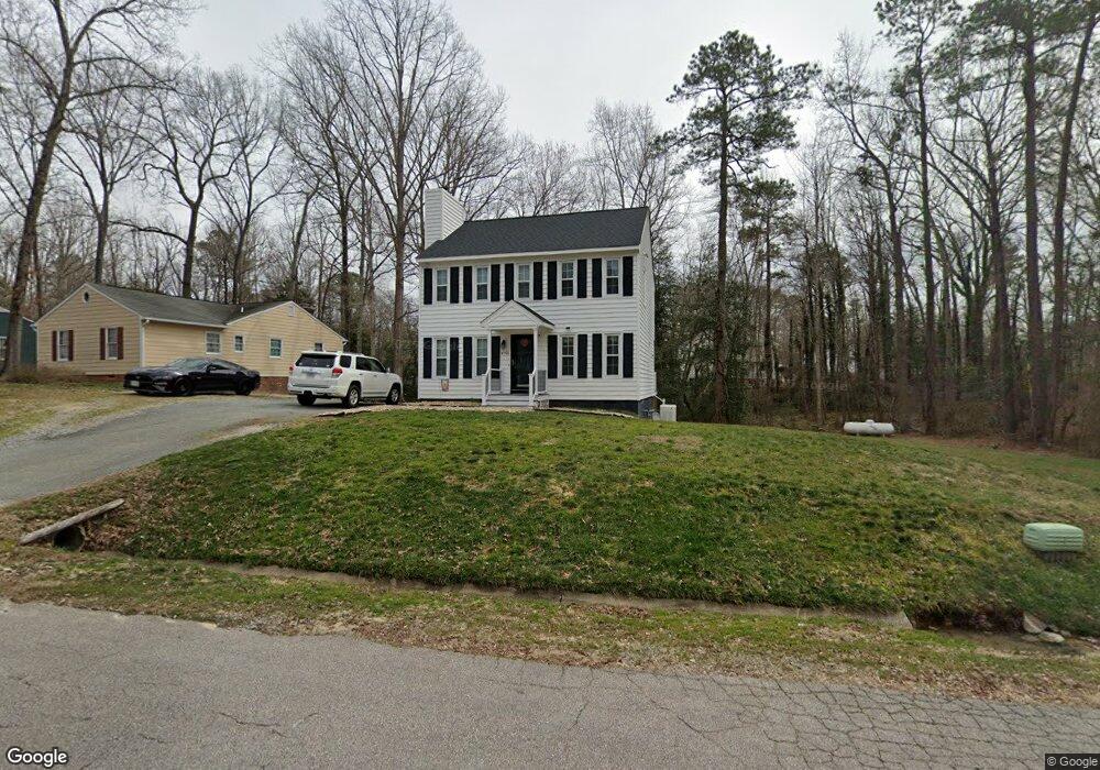
4755 Brookridge Rd Chesterfield, VA 23832
Estimated Value: $334,842 - $345,000
3
Beds
3
Baths
1,512
Sq Ft
$224/Sq Ft
Est. Value
About This Home
This home is located at 4755 Brookridge Rd, Chesterfield, VA 23832 and is currently estimated at $338,211, approximately $223 per square foot. 4755 Brookridge Rd is a home located in Chesterfield County with nearby schools including Thelma Crenshaw Elementary School, Bailey Bridge Middle School, and Manchester High.
Ownership History
Date
Name
Owned For
Owner Type
Purchase Details
Closed on
Apr 2, 2002
Sold by
Checetto Timothy A
Bought by
Williams Lloyd and Williams Jennifer
Current Estimated Value
Home Financials for this Owner
Home Financials are based on the most recent Mortgage that was taken out on this home.
Original Mortgage
$117,000
Outstanding Balance
$48,744
Interest Rate
6.88%
Mortgage Type
New Conventional
Estimated Equity
$289,467
Create a Home Valuation Report for This Property
The Home Valuation Report is an in-depth analysis detailing your home's value as well as a comparison with similar homes in the area
Home Values in the Area
Average Home Value in this Area
Purchase History
| Date | Buyer | Sale Price | Title Company |
|---|---|---|---|
| Williams Lloyd | $130,000 | -- |
Source: Public Records
Mortgage History
| Date | Status | Borrower | Loan Amount |
|---|---|---|---|
| Open | Williams Lloyd | $117,000 |
Source: Public Records
Tax History Compared to Growth
Tax History
| Year | Tax Paid | Tax Assessment Tax Assessment Total Assessment is a certain percentage of the fair market value that is determined by local assessors to be the total taxable value of land and additions on the property. | Land | Improvement |
|---|---|---|---|---|
| 2025 | $2,577 | $286,700 | $60,000 | $226,700 |
| 2024 | $2,577 | $274,400 | $52,000 | $222,400 |
| 2023 | $2,400 | $263,700 | $49,000 | $214,700 |
| 2022 | $2,218 | $241,100 | $47,000 | $194,100 |
| 2021 | $2,097 | $213,800 | $45,000 | $168,800 |
| 2020 | $1,850 | $194,700 | $45,000 | $149,700 |
| 2019 | $1,796 | $189,100 | $42,000 | $147,100 |
| 2018 | $1,670 | $175,800 | $42,000 | $133,800 |
| 2017 | $1,581 | $164,700 | $42,000 | $122,700 |
| 2016 | $1,479 | $154,100 | $42,000 | $112,100 |
| 2015 | $1,416 | $144,900 | $42,000 | $102,900 |
| 2014 | $1,380 | $141,100 | $42,000 | $99,100 |
Source: Public Records
Map
Nearby Homes
- 10810 Ridgerun Rd
- 10800 Brookridge Way
- 4519 Bexwood Dr
- 11261 Sunfield Dr
- 5213 Oakforest Dr
- 5124 Rollingway Rd
- 10524 Genlou Rd
- 10508 Rollingway Ct
- 11449 Bailey Mountain Trail
- 5313 Sandy Ridge Ct
- 11425 Brandenburg Dr
- 5430 Solaris Dr
- 5324 Sandy Ridge Ct
- 10709 Solaris Ct
- 10718 Genlou Rd
- Edison Plan at Qualla Trace - Smart Living
- Newton Plan at Qualla Trace - Smart Living
- Curie Plan at Qualla Trace - Smart Living
- King Plan at Qualla Trace - Smart Living
- Maxwell Plan at Qualla Trace - Smart Living
- 4745 Brookridge Rd
- 4737 Brookridge Rd
- 10812 Ridgerun Rd
- 10813 Ridgerun Rd
- 11001 Sunfield Dr
- 4731 Brookridge Rd
- 4754 Brookridge Rd
- 4748 Brookridge Rd
- 10811 Ridgerun Rd
- 4742 Brookridge Rd
- 4736 Brookridge Rd
- 4906 August Rd
- 4801 Alberta Rd
- 10801 Brookridge Place
- 10808 Ridgerun Rd
- 4803 Alberta Rd
- 4723 Brookridge Rd
- 10809 Ridgerun Rd
- 4800 Alberta Rd
- 4912 August Rd