4755 Buffalo Rd Mount Airy, MD 21771
Estimated Value: $367,000 - $495,500
--
Bed
2
Baths
1,464
Sq Ft
$281/Sq Ft
Est. Value
About This Home
This home is located at 4755 Buffalo Rd, Mount Airy, MD 21771 and is currently estimated at $410,875, approximately $280 per square foot. 4755 Buffalo Rd is a home located in Carroll County with nearby schools including Winfield Elementary School, Mount Airy Middle School, and South Carroll High School.
Ownership History
Date
Name
Owned For
Owner Type
Purchase Details
Closed on
Nov 7, 2024
Sold by
Satterlee Gary N
Bought by
Flynn Doulgas and Goonan Skylar
Current Estimated Value
Home Financials for this Owner
Home Financials are based on the most recent Mortgage that was taken out on this home.
Original Mortgage
$332,500
Outstanding Balance
$329,384
Interest Rate
6.44%
Mortgage Type
New Conventional
Estimated Equity
$81,491
Create a Home Valuation Report for This Property
The Home Valuation Report is an in-depth analysis detailing your home's value as well as a comparison with similar homes in the area
Home Values in the Area
Average Home Value in this Area
Purchase History
| Date | Buyer | Sale Price | Title Company |
|---|---|---|---|
| Flynn Doulgas | $350,000 | Lawyers Signature Settlements | |
| Flynn Doulgas | $350,000 | Lawyers Signature Settlements |
Source: Public Records
Mortgage History
| Date | Status | Borrower | Loan Amount |
|---|---|---|---|
| Open | Flynn Doulgas | $332,500 | |
| Closed | Flynn Doulgas | $332,500 |
Source: Public Records
Tax History Compared to Growth
Tax History
| Year | Tax Paid | Tax Assessment Tax Assessment Total Assessment is a certain percentage of the fair market value that is determined by local assessors to be the total taxable value of land and additions on the property. | Land | Improvement |
|---|---|---|---|---|
| 2025 | $3,968 | $401,767 | $0 | $0 |
| 2024 | $3,968 | $362,400 | $182,000 | $180,400 |
| 2023 | $3,781 | $341,867 | $0 | $0 |
| 2022 | $3,601 | $321,333 | $0 | $0 |
| 2021 | $7,038 | $300,800 | $142,000 | $158,800 |
| 2020 | $3,365 | $295,133 | $0 | $0 |
| 2019 | $3,331 | $289,467 | $0 | $0 |
| 2018 | $3,238 | $283,800 | $142,000 | $141,800 |
| 2017 | $3,176 | $278,233 | $0 | $0 |
| 2016 | -- | $272,667 | $0 | $0 |
| 2015 | -- | $267,100 | $0 | $0 |
| 2014 | -- | $264,767 | $0 | $0 |
Source: Public Records
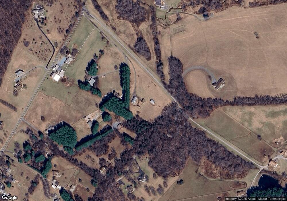
Map
Nearby Homes
- 4417 Buffalo Rd
- 7309 Talbot Run Rd
- 5307 Pommel Dr
- 4828 Ridge Rd
- 5345 Pommel Dr
- 2990 Honeywood Dr
- 2815 Gillis Rd
- 4950 Crocus Rd
- 3870 Roop Rd
- 5134 Perry Rd
- 3816 A Jim Smith Ln
- 0 Cabbage Spring Rd
- 3720 Buffalo Rd
- 4328 Ridge Rd Unit 13
- 2613 Liberty Rd
- 4004 Windermere Way
- 2210 Skylark Dr
- 15602 Wildrose Ct
- 3008 Arapaho Ct
- 7407 Woodville Rd
- 4757 Buffalo Rd
- 4817 Buffalo Rd
- 4729 Buffalo Rd
- 4819 Buffalo Rd
- 4801 Buffalo Rd
- 4723 Buffalo Rd
- 4815 Buffalo Rd
- 4731 Buffalo Rd
- 4827 Buffalo Rd
- 4821 Buffalo Rd
- 4733 Buffalo Rd
- 4802 Buffalo Rd
- 4717 Buffalo Rd
- 4800 Buffalo Rd
- 4825 Buffalo Rd
- 4735 Buffalo Rd
- 4829 Buffalo Rd
- 4832 Buffalo Rd
- 4831 Buffalo Rd
- 4833 Buffalo Rd