4755 Greer Rd West Bloomfield, MI 48324
Estimated Value: $341,000 - $497,000
3
Beds
2
Baths
1,949
Sq Ft
$222/Sq Ft
Est. Value
About This Home
This home is located at 4755 Greer Rd, West Bloomfield, MI 48324 and is currently estimated at $432,600, approximately $221 per square foot. 4755 Greer Rd is a home located in Oakland County with nearby schools including Waterford Montessori Academy, Our Lady Of Refuge School, and Lakecrest Baptist School.
Ownership History
Date
Name
Owned For
Owner Type
Purchase Details
Closed on
Aug 12, 2022
Sold by
Devries Natalya
Bought by
Devries Natalya and Pardo Brik F
Current Estimated Value
Purchase Details
Closed on
Dec 9, 2020
Sold by
Devries Natalya and Devries Timothy
Bought by
Devries Natalya and Devries Narmina
Purchase Details
Closed on
Aug 12, 2002
Sold by
Clark Patrick R
Bought by
Devries Timothy G
Purchase Details
Closed on
Oct 16, 1998
Sold by
Mika Carrie
Bought by
Clark Patrick R
Home Financials for this Owner
Home Financials are based on the most recent Mortgage that was taken out on this home.
Original Mortgage
$152,000
Interest Rate
6.79%
Create a Home Valuation Report for This Property
The Home Valuation Report is an in-depth analysis detailing your home's value as well as a comparison with similar homes in the area
Home Values in the Area
Average Home Value in this Area
Purchase History
| Date | Buyer | Sale Price | Title Company |
|---|---|---|---|
| Devries Natalya | -- | -- | |
| Devries Natalya | -- | -- | |
| Devries Natalya | -- | None Available | |
| Devries Timothy G | $184,000 | -- | |
| Clark Patrick R | $160,000 | -- |
Source: Public Records
Mortgage History
| Date | Status | Borrower | Loan Amount |
|---|---|---|---|
| Previous Owner | Clark Patrick R | $152,000 |
Source: Public Records
Tax History Compared to Growth
Tax History
| Year | Tax Paid | Tax Assessment Tax Assessment Total Assessment is a certain percentage of the fair market value that is determined by local assessors to be the total taxable value of land and additions on the property. | Land | Improvement |
|---|---|---|---|---|
| 2024 | $2,873 | $175,630 | $0 | $0 |
| 2022 | $2,751 | $145,110 | $30,100 | $115,010 |
| 2021 | $4,184 | $131,890 | $0 | $0 |
| 2020 | $2,696 | $129,020 | $27,090 | $101,930 |
| 2018 | $3,542 | $85,560 | $24,570 | $60,990 |
| 2015 | -- | $75,300 | $0 | $0 |
| 2014 | -- | $68,460 | $0 | $0 |
| 2011 | -- | $62,640 | $0 | $0 |
Source: Public Records
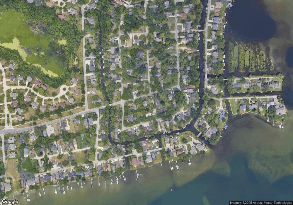
Map
Nearby Homes
- 2115 Aldwin Dr
- 1677 Parkview Ave
- 5145 Greer Rd
- 5149 Latimer St
- 1522 Oregon Ct
- 4796 Dow Ridge Rd
- 4764 Dow Ridge Rd
- 1859 Poppleton Dr
- 1753 Dawncrest Dr
- 1844 Poppleton Dr
- 2110 Peachtree Ct
- 4098 Parkway
- 00000 Muskingum
- 5190 Westcombe Ln
- 5699 Applegrove Dr
- 2780 Orchard Place
- 1265 Oregon Blvd
- VAC Daron Ln
- 1036 Pelham Blvd
- 3102 Rose Ln
- 4745 Greer Rd
- 4748 Mapleview Ave
- 4754 Mapleview Ave
- 4720 Mapleview Ave
- 4781 Greer Rd
- 4754 Greer Rd
- 4770 Greer Rd
- 4742 Greer Rd
- 4770 Mapleview Ave
- 4747 Mapleview Ave
- 4715 Mapleview Ave
- 4725 Greer Rd
- 4730 Greer Rd
- 1985 Oldtown Ave
- 4753 Mapleview Ave
- 4721 Mapleview Ave
- 4771 Mapleview Ave
- 1980 Oldtown Ave
- 4690 Mapleview Ave
- 1983 Allendale Ave