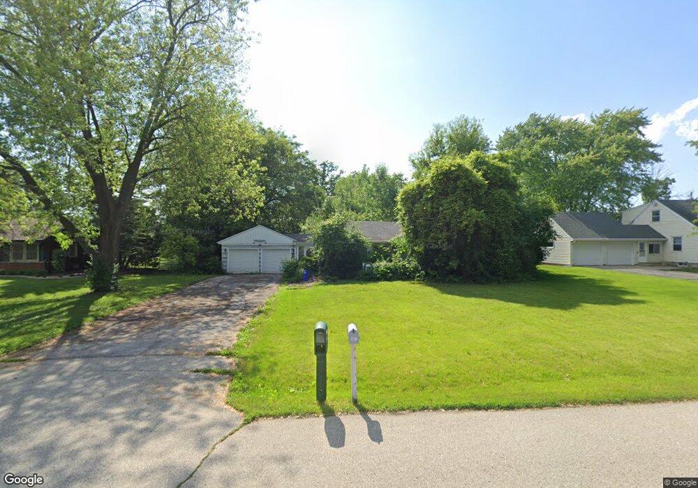
4755 N 134th St Brookfield, WI 53005
Estimated Value: $301,000 - $366,000
2
Beds
1
Bath
988
Sq Ft
$341/Sq Ft
Est. Value
About This Home
This home is located at 4755 N 134th St, Brookfield, WI 53005 and is currently estimated at $336,627, approximately $340 per square foot. 4755 N 134th St is a home located in Waukesha County with nearby schools including Burleigh Elementary School, Pilgrim Park Middle School, and Brookfield East High School.
Ownership History
Date
Name
Owned For
Owner Type
Purchase Details
Closed on
Nov 22, 2017
Sold by
Miskimen Bethany A
Bought by
Vogt Jason E
Current Estimated Value
Home Financials for this Owner
Home Financials are based on the most recent Mortgage that was taken out on this home.
Original Mortgage
$43,000
Outstanding Balance
$36,127
Interest Rate
3.95%
Mortgage Type
New Conventional
Estimated Equity
$300,500
Purchase Details
Closed on
Apr 1, 2015
Sold by
Miskimen Bethany
Bought by
Vogt Jason E and Vogt Frederick J
Create a Home Valuation Report for This Property
The Home Valuation Report is an in-depth analysis detailing your home's value as well as a comparison with similar homes in the area
Home Values in the Area
Average Home Value in this Area
Purchase History
| Date | Buyer | Sale Price | Title Company |
|---|---|---|---|
| Vogt Jason E | -- | None Available | |
| Vogt Jason E | -- | None Available |
Source: Public Records
Mortgage History
| Date | Status | Borrower | Loan Amount |
|---|---|---|---|
| Open | Vogt Jason E | $43,000 |
Source: Public Records
Tax History Compared to Growth
Tax History
| Year | Tax Paid | Tax Assessment Tax Assessment Total Assessment is a certain percentage of the fair market value that is determined by local assessors to be the total taxable value of land and additions on the property. | Land | Improvement |
|---|---|---|---|---|
| 2024 | $3,310 | $254,800 | $115,000 | $139,800 |
| 2023 | $3,234 | $254,800 | $115,000 | $139,800 |
| 2022 | $3,364 | $209,000 | $110,000 | $99,000 |
| 2021 | $3,515 | $209,000 | $110,000 | $99,000 |
| 2020 | $3,651 | $209,000 | $110,000 | $99,000 |
| 2019 | $3,531 | $209,000 | $110,000 | $99,000 |
| 2018 | $3,234 | $183,400 | $110,000 | $73,400 |
| 2017 | $3,001 | $183,400 | $110,000 | $73,400 |
| 2016 | $2,804 | $183,400 | $110,000 | $73,400 |
| 2015 | $2,797 | $183,400 | $110,000 | $73,400 |
| 2014 | $2,799 | $183,400 | $110,000 | $73,400 |
| 2013 | $2,901 | $183,400 | $110,000 | $73,400 |
Source: Public Records
Map
Nearby Homes
- 4720 Cara Marie Ct Unit A
- 12729 W Derby Place
- Lt7-8 Lucille Ln
- 4440 Lilly Rd
- 4335 Nighthawk Trail
- W144N4822 Stone Dr Unit C
- W144N4821 Stone Dr
- 4425 N 143rd St
- 4602 N 118th St
- 14220 Ranch Rd
- N54W14225 Van Buren Dr
- 15290 Shamrock Ln
- 5253 N Lovers Lane Rd Unit 324
- 5253 N Lovers Lane Rd Unit 204
- 5253 N Lovers Lane Rd Unit 232
- 4685 Pilgrim Rd
- 11031 W Ruby Ave
- 4076 Menomonee River Pkwy
- 14165 Lindsay Dr
- 4460 N 158th St
- 4775 N 134th St
- 4735 N 134th St
- 4715 N 134th St
- 13365 Hampton Rd
- 4760 N 134th St
- 13460 Courtland Ave
- 4740 N 134th St
- 4770 N 134th St
- 4720 N 134th St
- 13445 Hampton Rd
- 13335 Hampton Rd
- N48W13386 Hampton Ave
- N48W13308 Hampton Ave
- 13360 Courtland Ave
- 4710 N 134th St
- 13300 Courtland Ave
- 13208 W Hampton Ave
- 13240 Courtland Ave
- 4685 N 134th St
- 13530 Courtland Ave