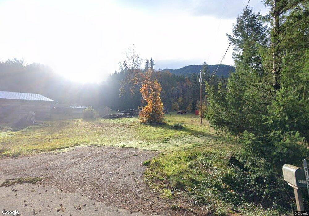
47570 Santiam Hwy Foster, OR 97345
Cascadia NeighborhoodEstimated Value: $284,000 - $304,670
3
Beds
1
Bath
1,217
Sq Ft
$242/Sq Ft
Est. Value
About This Home
This home is located at 47570 Santiam Hwy, Foster, OR 97345 and is currently estimated at $294,335, approximately $241 per square foot. 47570 Santiam Hwy is a home located in Linn County with nearby schools including Sweet Home High School.
Ownership History
Date
Name
Owned For
Owner Type
Purchase Details
Closed on
Feb 28, 2012
Sold by
Federal Home Loan Mortgage Corporation
Bought by
Goldberg Michael
Current Estimated Value
Purchase Details
Closed on
Aug 4, 2011
Sold by
Citimortgage Inc
Bought by
Federal Home Loan Mortgage Corporation
Purchase Details
Closed on
Jun 20, 2011
Sold by
Fern Albert L and Fern Rachel E
Bought by
Citimortgage Inc
Create a Home Valuation Report for This Property
The Home Valuation Report is an in-depth analysis detailing your home's value as well as a comparison with similar homes in the area
Home Values in the Area
Average Home Value in this Area
Purchase History
| Date | Buyer | Sale Price | Title Company |
|---|---|---|---|
| Goldberg Michael | $95,000 | Amerititle | |
| Federal Home Loan Mortgage Corporation | $102,374 | First American Title | |
| Citimortgage Inc | $102,374 | First American Title |
Source: Public Records
Tax History Compared to Growth
Tax History
| Year | Tax Paid | Tax Assessment Tax Assessment Total Assessment is a certain percentage of the fair market value that is determined by local assessors to be the total taxable value of land and additions on the property. | Land | Improvement |
|---|---|---|---|---|
| 2025 | $1,630 | $108,650 | -- | -- |
| 2024 | $1,576 | $105,490 | -- | -- |
| 2023 | $1,494 | $102,420 | $0 | $0 |
| 2022 | $1,471 | $99,440 | $0 | $0 |
| 2021 | $1,414 | $96,550 | $0 | $0 |
| 2020 | $1,388 | $93,740 | $0 | $0 |
| 2019 | $1,362 | $91,010 | $0 | $0 |
| 2018 | $1,327 | $88,360 | $0 | $0 |
| 2017 | $1,293 | $85,790 | $0 | $0 |
| 2016 | $1,251 | $83,300 | $0 | $0 |
| 2015 | $1,230 | $80,880 | $0 | $0 |
| 2014 | $1,198 | $78,530 | $0 | $0 |
Source: Public Records
Map
Nearby Homes
- 0 High Deck (Tl800) Rd Unit 820101
- 48785 Santiam Hwy
- 48785 Santiam Hwy
- 000 Hufford Rd
- 45265 Sunnyside Dr
- 0 Riggs Hill Unit TL1316
- 43743 (next to) Viewpoint Ln
- TL 1800 Riggs Hill Rd
- 0 Viewpoint Ln Unit 490512169
- Tax Lot 1700 Jones Dr
- 0 Scholl's Addition (Lot Unit 8) 819608
- 1060 54th Ave
- 0 Highway 20 Lot Unit 3000
- 1700 Dr
- 0 56th Ave Unit 2000 Av
- 0 56th Av (Lot 2000)
- 5351 Osage St
- 1702 54th Ave
- 1383 53rd Ave
- 5211 Redwood St
- 47548 Santiam Hwy
- 47518 Santiam Hwy
- 47628 Cascadia Dr
- 47650 Santiam Hwy
- 47570 Cascadia Dr
- 26976 Doe Mountain Rd
- 52833 Santiam Hwy
- 47679 Santiam Hwy
- 47504 Santiam Hwy
- 47620 Cascadia Dr
- 47676 Santiam Hwy
- 0 Santiam Hwy
- 47690 Santiam Hwy
- 47484 Santiam Hwy
- 47701 Highway 20 (Next To)
- 47701 Santiam Hwy
- 47480 Santiam Hwy
- 47685 Cascadia Dr
- 47667 Cascadia Dr
- 47484 Santiam Hwy