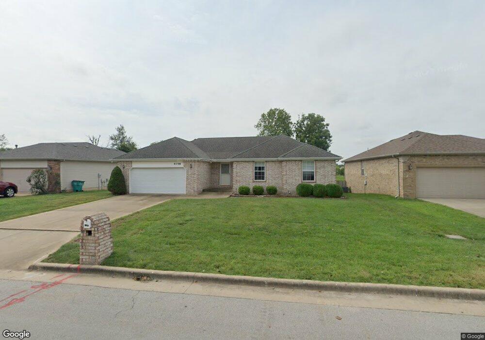
4758 W University St Springfield, MO 65802
Southwest Springfield NeighborhoodEstimated Value: $394,484 - $472,000
4
Beds
3
Baths
3,491
Sq Ft
$121/Sq Ft
Est. Value
About This Home
This home is located at 4758 W University St, Springfield, MO 65802 and is currently estimated at $422,871, approximately $121 per square foot. 4758 W University St is a home located in Greene County with nearby schools including Price Elementary School, Republic Middle School, and Republic High School.
Ownership History
Date
Name
Owned For
Owner Type
Purchase Details
Closed on
Oct 14, 2010
Sold by
Bartch Marion A
Bought by
Love Doy G and Love Alice E
Current Estimated Value
Home Financials for this Owner
Home Financials are based on the most recent Mortgage that was taken out on this home.
Original Mortgage
$147,920
Outstanding Balance
$1,081
Interest Rate
3.87%
Mortgage Type
New Conventional
Estimated Equity
$421,790
Create a Home Valuation Report for This Property
The Home Valuation Report is an in-depth analysis detailing your home's value as well as a comparison with similar homes in the area
Home Values in the Area
Average Home Value in this Area
Purchase History
| Date | Buyer | Sale Price | Title Company |
|---|---|---|---|
| Love Doy G | -- | None Available |
Source: Public Records
Mortgage History
| Date | Status | Borrower | Loan Amount |
|---|---|---|---|
| Open | Love Doy G | $147,920 |
Source: Public Records
Tax History Compared to Growth
Tax History
| Year | Tax Paid | Tax Assessment Tax Assessment Total Assessment is a certain percentage of the fair market value that is determined by local assessors to be the total taxable value of land and additions on the property. | Land | Improvement |
|---|---|---|---|---|
| 2025 | $2,836 | $56,600 | $5,700 | $50,900 |
| 2024 | $2,836 | $49,840 | $4,750 | $45,090 |
| 2023 | $2,780 | $49,840 | $4,750 | $45,090 |
| 2022 | $2,515 | $44,670 | $4,750 | $39,920 |
| 2021 | $2,515 | $44,670 | $4,750 | $39,920 |
| 2020 | $1,829 | $35,090 | $4,750 | $30,340 |
| 2019 | $1,823 | $35,090 | $4,750 | $30,340 |
| 2018 | $1,817 | $33,940 | $3,330 | $30,610 |
| 2017 | $1,804 | $31,150 | $3,330 | $27,820 |
| 2016 | $1,671 | $31,150 | $3,330 | $27,820 |
| 2015 | $1,670 | $31,150 | $3,330 | $27,820 |
| 2014 | $1,627 | $30,040 | $3,330 | $26,710 |
Source: Public Records
Map
Nearby Homes
- 1898 S Lullwood Ave
- 4914 W University St
- 1895 S Lullwood Ave
- 4723 W Portland St
- 4652 Blackfoot Dr
- 4487 W University St
- 4641 Blackfoot Dr
- 4596 W Greenridge St
- 4515 W Greenridge St
- 2031 S Pebble Ridge Rd
- 4574 Hummer Dr
- 000 W Farm Road 148
- 1707 S Farm Road 115
- 5033 W Skyler Dr
- 1161 S Broadview Ave
- 4332 W Skyler Dr
- 4357 W Riley St
- 1282 S Canton Ave
- 4426 W Normal St
- 4465 W Normal St
- 4770 W University St
- 4746 W University St
- 4782 W University St
- 4734 W University St
- 4767 W University St
- 4755 W University St
- 4794 W University St
- 4722 W University St
- 4785 W Washita St Unit Lot 63
- 4779 W University St
- 4719 W University St
- 4791 W University St
- 4797 W Washita St Unit Lot 62
- 4806 W University St
- 4710 W University St
- 4803 W University St
- 4764 W Stanford St
- 4752 W Stanford St
- 4707 W University St
- 4776 W Stanford St