475801 E 1093 Rd Muldrow, OK 74948
Estimated Value: $193,311 - $223,000
3
Beds
2
Baths
1,352
Sq Ft
$155/Sq Ft
Est. Value
About This Home
This home is located at 475801 E 1093 Rd, Muldrow, OK 74948 and is currently estimated at $209,328, approximately $154 per square foot. 475801 E 1093 Rd is a home located in Sequoyah County with nearby schools including Liberty Public School.
Ownership History
Date
Name
Owned For
Owner Type
Purchase Details
Closed on
Jan 9, 2019
Sold by
Price Carroll R and Price Melissa A
Bought by
Young Shawna
Current Estimated Value
Purchase Details
Closed on
Apr 22, 2011
Sold by
Cowan Mark and Cowan Rebecca
Bought by
Price Carrol R and Price Melissa A
Home Financials for this Owner
Home Financials are based on the most recent Mortgage that was taken out on this home.
Original Mortgage
$75,000
Interest Rate
4.82%
Mortgage Type
Future Advance Clause Open End Mortgage
Purchase Details
Closed on
Mar 21, 2000
Sold by
Medlock Charles and Medlock Bonnie
Bought by
Pollock-Key Rebecca
Create a Home Valuation Report for This Property
The Home Valuation Report is an in-depth analysis detailing your home's value as well as a comparison with similar homes in the area
Home Values in the Area
Average Home Value in this Area
Purchase History
| Date | Buyer | Sale Price | Title Company |
|---|---|---|---|
| Young Shawna | -- | None Available | |
| Price Carrol R | $65,000 | None Available | |
| Pollock-Key Rebecca | $7,500 | -- |
Source: Public Records
Mortgage History
| Date | Status | Borrower | Loan Amount |
|---|---|---|---|
| Previous Owner | Price Carrol R | $75,000 |
Source: Public Records
Tax History
| Year | Tax Paid | Tax Assessment Tax Assessment Total Assessment is a certain percentage of the fair market value that is determined by local assessors to be the total taxable value of land and additions on the property. | Land | Improvement |
|---|---|---|---|---|
| 2025 | $892 | $12,427 | $2,398 | $10,029 |
| 2024 | $892 | $11,836 | $2,284 | $9,552 |
| 2023 | $850 | $11,273 | $2,267 | $9,006 |
| 2022 | $771 | $10,735 | $2,245 | $8,490 |
| 2021 | $734 | $10,225 | $2,222 | $8,003 |
| 2020 | $726 | $10,117 | $2,114 | $8,003 |
| 2019 | $782 | $10,899 | $3,157 | $7,742 |
| 2018 | $745 | $10,380 | $2,904 | $7,476 |
| 2017 | $655 | $9,126 | $2,766 | $6,360 |
| 2016 | $624 | $8,691 | $2,613 | $6,078 |
| 2015 | $594 | $8,277 | $2,467 | $5,810 |
| 2014 | $566 | $7,883 | $2,311 | $5,572 |
Source: Public Records
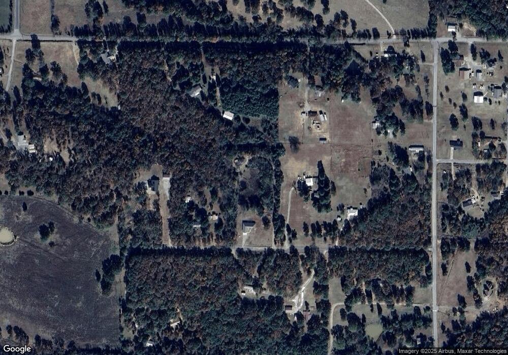
Map
Nearby Homes
- 476120 E 1091 Rd
- 0000 Cottonwood Rd
- 109365 S 4749 Rd
- 476967 E 1090 Rd
- 108714 S 4767 Rd
- 477053 E 1085 Rd
- 108982 Hummingbird Ln
- 108962 Hummingbird Ln
- 511 Mayfield Dr
- 110907 S 4760 Rd
- 110662 S 4750 Rd
- 505 Mayfield Dr
- 200 S Jeff Ln
- 910 James St
- 1505 Cherokee Rd
- 407 W Ray Fine Blvd
- 400 W Ray Fine Blvd
- 404 W Ray Fine Blvd
- 103 NE 1st St
- 113 Cherokee Blvd
- 475717 E 1093 Rd
- 475850 E 1090 Rd
- 0 1093 Unit 2226776
- 475925 E 1093 Rd
- 475754 E 1093 Rd
- 109098 S 4760 Rd
- 475866 E 1093 Rd
- 475620 E 1090 Rd
- 109136 S 4760 Rd
- 476021 E 1091 Rd
- 475498 E 1090 Rd
- 476018 E 1091 Rd
- 476036 E 1090 Rd
- 109350 S 4760 Rd
- 109390 S 4760 Rd
- 109059 S 4761 Rd
- 109324 S 4760 Rd
- 109134 S 4761 Rd
- 108704 S 4761 Rd
- 476062 E 1090 Rd
Your Personal Tour Guide
Ask me questions while you tour the home.