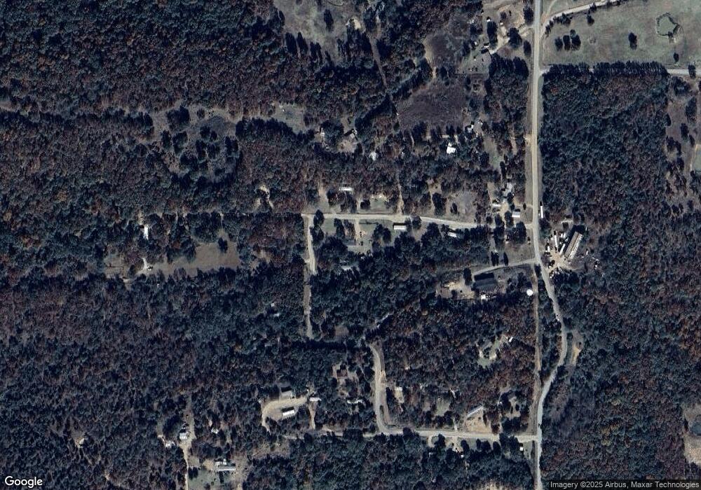
475842 E 1096 Rd Muldrow, OK 74948
Estimated Value: $121,416 - $277,000
3
Beds
1
Bath
1,344
Sq Ft
$143/Sq Ft
Est. Value
About This Home
This home is located at 475842 E 1096 Rd, Muldrow, OK 74948 and is currently estimated at $192,604, approximately $143 per square foot. 475842 E 1096 Rd is a home with nearby schools including Liberty Public School.
Ownership History
Date
Name
Owned For
Owner Type
Purchase Details
Closed on
Mar 3, 2025
Sold by
Armstrong Bank
Bought by
Brown David and Turpin Rick
Current Estimated Value
Purchase Details
Closed on
Mar 19, 2014
Sold by
Robertson Christopher Et
Bought by
Cloud Jerry
Purchase Details
Closed on
Nov 22, 2000
Sold by
Roberts Ralph and Roberts Charlene
Bought by
Robertson Chris and Robertson Angela
Purchase Details
Closed on
Jun 8, 1999
Sold by
Moses Danny
Bought by
Roberts Ralph and Roberts Charlene
Purchase Details
Closed on
Jan 30, 1995
Sold by
Powers Linda
Bought by
Moses Danny
Create a Home Valuation Report for This Property
The Home Valuation Report is an in-depth analysis detailing your home's value as well as a comparison with similar homes in the area
Home Values in the Area
Average Home Value in this Area
Purchase History
| Date | Buyer | Sale Price | Title Company |
|---|---|---|---|
| Brown David | $38,500 | None Listed On Document | |
| Brown David | $38,500 | None Listed On Document | |
| Cloud Jerry | $49,000 | -- | |
| Robertson Chris | $34,500 | -- | |
| Roberts Ralph | $1,000 | -- | |
| Moses Danny | $25,000 | -- |
Source: Public Records
Tax History Compared to Growth
Tax History
| Year | Tax Paid | Tax Assessment Tax Assessment Total Assessment is a certain percentage of the fair market value that is determined by local assessors to be the total taxable value of land and additions on the property. | Land | Improvement |
|---|---|---|---|---|
| 2025 | $582 | $8,110 | $924 | $7,186 |
| 2024 | $582 | $7,724 | $880 | $6,844 |
| 2023 | $554 | $7,356 | $880 | $6,476 |
| 2022 | $504 | $7,024 | $880 | $6,144 |
| 2021 | $503 | $7,002 | $880 | $6,122 |
| 2020 | $503 | $7,002 | $880 | $6,122 |
| 2019 | $488 | $6,800 | $828 | $5,972 |
| 2018 | $465 | $6,477 | $462 | $6,015 |
| 2017 | $427 | $5,942 | $440 | $5,502 |
| 2016 | $406 | $5,660 | $440 | $5,220 |
| 2015 | $387 | $5,390 | $440 | $4,950 |
| 2014 | $315 | $4,393 | $440 | $3,953 |
Source: Public Records
Map
Nearby Homes
- 0000 Cottonwood Rd
- 476120 E 1091 Rd
- 109365 S 4749 Rd
- 110907 S 4760 Rd
- 108663 S 4765 Rd
- 476967 E 1090 Rd
- 110662 S 4750 Rd
- 511 Mayfield Dr
- 505 Mayfield Dr
- 108982 Hummingbird Ln
- 108962 Hummingbird Ln
- 200 S Jeff Ln
- 407 W Ray Fine Blvd
- 910 James St
- 108892 S 4768 Rd
- 304 Oakdale Rd
- 400 W Ray Fine Blvd
- 477053 E 1085 Rd
- 108714 S 4767 Rd
- 450 Stockton Ln
- 109658 S 4750 Rd
- 475972 E 1096 Rd
- 109588 S 4760 Rd
- 109614 S 4760 Rd
- 475938 E 1098 Rd
- 109458 S 4760 Rd
- 109458 S 4760 Rd
- 475975 E 1098 Rd
- 600 NE Brassfield Rd
- 109324 S 4760 Rd
- 109390 S 4760 Rd
- 0001 Cottonwood Rd
- 109868 S 4760 Rd
- 475781 E 1100 Rd
- 475735 E 1100 Rd
- 475871 E 1100 Rd
- 475983 E 1100 Rd
- 475866 E 1093 Rd
- 109350 S 4760 Rd
- 475754 E 1093 Rd
