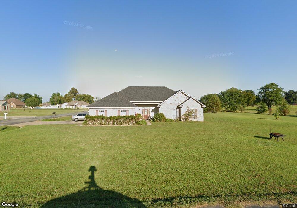
475855 E 1112 Rd Muldrow, OK 74948
Estimated Value: $216,000 - $320,000
3
Beds
2
Baths
1,863
Sq Ft
$145/Sq Ft
Est. Value
About This Home
This home is located at 475855 E 1112 Rd, Muldrow, OK 74948 and is currently estimated at $270,320, approximately $145 per square foot. 475855 E 1112 Rd is a home with nearby schools including Muldrow Elementary School, Muldrow Middle School, and Muldrow High School.
Ownership History
Date
Name
Owned For
Owner Type
Purchase Details
Closed on
Sep 5, 2008
Sold by
Winds Developments Llc
Bought by
Greer Martin L and Greer Rachel L
Current Estimated Value
Home Financials for this Owner
Home Financials are based on the most recent Mortgage that was taken out on this home.
Original Mortgage
$150,350
Outstanding Balance
$99,854
Interest Rate
6.66%
Mortgage Type
FHA
Estimated Equity
$170,466
Purchase Details
Closed on
May 1, 2006
Sold by
Jcmb Properties Llc
Bought by
Whispering Winds Develoment Llc
Create a Home Valuation Report for This Property
The Home Valuation Report is an in-depth analysis detailing your home's value as well as a comparison with similar homes in the area
Home Values in the Area
Average Home Value in this Area
Purchase History
| Date | Buyer | Sale Price | Title Company |
|---|---|---|---|
| Greer Martin L | $155,000 | None Available | |
| Whispering Winds Develoment Llc | $14,500 | None Available |
Source: Public Records
Mortgage History
| Date | Status | Borrower | Loan Amount |
|---|---|---|---|
| Open | Greer Martin L | $150,350 |
Source: Public Records
Tax History Compared to Growth
Tax History
| Year | Tax Paid | Tax Assessment Tax Assessment Total Assessment is a certain percentage of the fair market value that is determined by local assessors to be the total taxable value of land and additions on the property. | Land | Improvement |
|---|---|---|---|---|
| 2025 | $1,585 | $22,302 | $2,252 | $20,050 |
| 2024 | $1,585 | $21,240 | $2,145 | $19,095 |
| 2023 | $1,509 | $20,228 | $2,145 | $18,083 |
| 2022 | $1,369 | $19,265 | $2,145 | $17,120 |
| 2021 | $1,366 | $19,217 | $2,145 | $17,072 |
| 2020 | $1,366 | $19,217 | $2,145 | $17,072 |
| 2019 | $1,380 | $19,415 | $2,145 | $17,270 |
| 2018 | $1,393 | $19,608 | $2,145 | $17,463 |
| 2017 | $1,374 | $19,333 | $1,672 | $17,661 |
| 2016 | $1,387 | $19,520 | $1,672 | $17,848 |
| 2015 | $1,401 | $19,718 | $1,672 | $18,046 |
| 2014 | $1,377 | $19,374 | $1,626 | $17,748 |
Source: Public Records
Map
Nearby Homes
- 110907 S 4760 Rd
- 407 W Ray Fine Blvd
- 400 W Ray Fine Blvd
- 110662 S 4750 Rd
- TBD W Ray Fine Blvd
- 404 W Ray Fine Blvd
- 113 Cherokee Blvd
- 0000 Cottonwood Rd
- 112368 S 4770 Rd
- 475495 E 1130 Rd
- 511 Mayfield Dr
- TBD U S Highway 64
- 1009 SE 10th St
- 505 Mayfield Dr
- 450 Stockton Ln
- 304 Oakdale Rd
- 505 Juniper Ln
- 476120 E 1091 Rd
- 200 S Jeff Ln
- 116 Roland Estate Ln
- 475784 E 1112 Rd
- 111311 S 4758 Rd
- 111235 S 4759 Rd
- Tract 3 E 1112 Rd
- 475803 E 1112 Rd
- 111353 S 4758 Rd
- 111301 S 4757 Rd
- 111300 S 4760 Rd
- 475726 E 1112 Rd
- 111234 S 4760 Rd
- 111158 S 4760 Rd
- 475963 E 1111 Rd
- 111391 S 4758 Rd
- 111322 S 4760 Rd
- 111354 S 4760 Rd
- 111363 S 4757 Rd
- 111273 S 4760 Rd
- 111235 S 4760 Rd
- 111285 S 4760 Rd
- 111306 S 4757 Rd