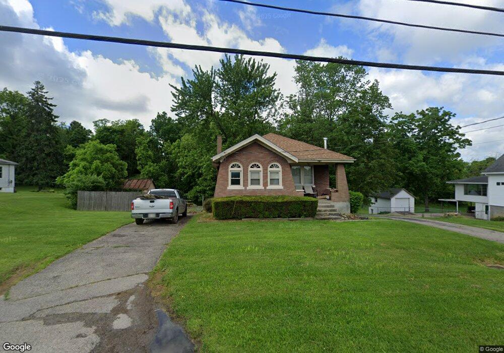
4759 Blue Rock Rd Cincinnati, OH 45247
Estimated Value: $195,000 - $230,000
2
Beds
1
Bath
973
Sq Ft
$215/Sq Ft
Est. Value
About This Home
This home is located at 4759 Blue Rock Rd, Cincinnati, OH 45247 and is currently estimated at $209,562, approximately $215 per square foot. 4759 Blue Rock Rd is a home located in Hamilton County with nearby schools including Colerain Elementary School, Colerain Middle School, and Colerain High School.
Ownership History
Date
Name
Owned For
Owner Type
Purchase Details
Closed on
Aug 10, 2011
Sold by
Bratfish Earl Greg and Bratfish Robbin L
Bought by
Bratfish Properties Llc
Current Estimated Value
Purchase Details
Closed on
Dec 16, 2002
Sold by
Miller Michael E
Bought by
Bratfish E G and Bratfish Robbin L
Home Financials for this Owner
Home Financials are based on the most recent Mortgage that was taken out on this home.
Original Mortgage
$86,000
Interest Rate
6.01%
Purchase Details
Closed on
Jun 9, 1995
Sold by
Godsey Theodore T
Bought by
Miller Michael E
Home Financials for this Owner
Home Financials are based on the most recent Mortgage that was taken out on this home.
Original Mortgage
$79,150
Interest Rate
7.9%
Create a Home Valuation Report for This Property
The Home Valuation Report is an in-depth analysis detailing your home's value as well as a comparison with similar homes in the area
Home Values in the Area
Average Home Value in this Area
Purchase History
We collect this data history from publicly available records. To have your information removed, we recommend requesting removal directly through your county’s website.
| Date | Buyer | Sale Price | Title Company |
|---|---|---|---|
| Bratfish Properties Llc | -- | -- | |
| Bratfish E G | $107,500 | Vintage Title Agency Inc | |
| Miller Michael E | -- | -- |
Source: Public Records
Mortgage History
We collect this data history from publicly available records. To have your information removed, we recommend requesting removal directly through your county’s website.
| Date | Status | Borrower | Loan Amount |
|---|---|---|---|
| Previous Owner | Bratfish E G | $86,000 | |
| Previous Owner | Miller Michael E | $79,150 |
Source: Public Records
Tax History
| Year | Tax Paid | Tax Assessment Tax Assessment Total Assessment is a certain percentage of the fair market value that is determined by local assessors to be the total taxable value of land and additions on the property. | Land | Improvement |
|---|---|---|---|---|
| 2025 | $2,826 | $47,663 | $14,161 | $33,502 |
| 2024 | $2,691 | $47,663 | $14,161 | $33,502 |
| 2023 | $2,660 | $47,663 | $14,161 | $33,502 |
| 2022 | $2,446 | $35,819 | $13,370 | $22,449 |
| 2021 | $2,469 | $35,819 | $13,370 | $22,449 |
| 2020 | $2,440 | $35,819 | $13,370 | $22,449 |
| 2019 | $2,229 | $30,356 | $11,330 | $19,026 |
| 2018 | $2,007 | $30,356 | $11,330 | $19,026 |
| 2017 | $1,929 | $30,356 | $11,330 | $19,026 |
| 2016 | $1,863 | $28,610 | $11,393 | $17,217 |
| 2015 | $1,854 | $28,610 | $11,393 | $17,217 |
| 2014 | $1,860 | $28,610 | $11,393 | $17,217 |
| 2013 | $1,865 | $30,114 | $11,991 | $18,123 |
Source: Public Records
Map
Nearby Homes
- 7845 Livingston Rd
- 8629 Red Hawk Ct
- 8169 Lakevalley Dr
- 8442 Wuest Rd
- 5609 Old Blue Rock Rd Unit 25
- 8530 Wuest Rd
- 7350 Appleridge Ct
- 3937 Olde Savannah Dr Unit 3937
- 3694 Oakmeadow Ln
- 4166 Philnoll Dr
- 3910 Appletree Ct
- 3999 Philnoll Dr
- 5638 Springdale Rd
- 7535 Sheed Rd
- 7757 Dennler Ln
- 3778 Hermes Dr
- 6328 Oakcreek Dr
- 5778 Blue Rock Hill Rd
- 3507 W Galbraith Rd
- 8851 Carrousel Park Cir
- 4739 Blue Rock Rd
- 4779 Blue Rock Rd
- 4803 Blue Rock Rd
- 0 Old Blue Rock Rd
- 35 Old Blue Rock Rd
- 4788 Blue Rock Rd
- 4823 Blue Rock Rd
- 4668 Blue Rock Rd
- 8357 Livingston Rd
- 8371 Livingston Rd
- 4821 Blue Rock Rd
- 8405 Livingston Rd
- 8279 Livingston Rd
- 8385 Livingston Rd
- 0 Sheed Rd Unit 1596046
- 0 Sheed Rd Unit 1552390
- 0 Sheed Rd Unit 872930
- 0 Sheed Rd Unit B 892554
- 0 Sheed Rd Unit A 892555
- 0 Sheed Rd Unit 845230
Your Personal Tour Guide
Ask me questions while you tour the home.