4759 Ga Highway 142 Shady Dale, GA 31085
Jasper County NeighborhoodEstimated Value: $500,000 - $609,856
3
Beds
3
Baths
3,500
Sq Ft
$160/Sq Ft
Est. Value
About This Home
This home is located at 4759 Ga Highway 142, Shady Dale, GA 31085 and is currently estimated at $560,464, approximately $160 per square foot. 4759 Ga Highway 142 is a home located in Jasper County with nearby schools including Jasper County Primary School, Washington Park Elementary School, and Jasper County Middle School.
Ownership History
Date
Name
Owned For
Owner Type
Purchase Details
Closed on
Feb 8, 2019
Sold by
Landrum Van O
Bought by
Day William Dennis and Day Angela G
Current Estimated Value
Purchase Details
Closed on
Mar 15, 2014
Sold by
Landrum Van O
Bought by
Johnson William C
Purchase Details
Closed on
Apr 27, 2004
Sold by
Morrison David and Morrison Jordan E
Bought by
Landrum Van O and Landrum Abatha M
Purchase Details
Closed on
Apr 14, 2000
Sold by
Sentinella Simon K
Bought by
Landrum Van O and Landrum Abat
Purchase Details
Closed on
Nov 5, 1999
Sold by
Westbrook James W
Bought by
Sentinella Simon K
Create a Home Valuation Report for This Property
The Home Valuation Report is an in-depth analysis detailing your home's value as well as a comparison with similar homes in the area
Home Values in the Area
Average Home Value in this Area
Purchase History
| Date | Buyer | Sale Price | Title Company |
|---|---|---|---|
| Day William Dennis | $270,000 | -- | |
| Johnson William C | $44,000 | -- | |
| Landrum Van O | $56,000 | -- | |
| Landrum Van O | $31,000 | -- | |
| Sentinella Simon K | $29,500 | -- |
Source: Public Records
Tax History Compared to Growth
Tax History
| Year | Tax Paid | Tax Assessment Tax Assessment Total Assessment is a certain percentage of the fair market value that is determined by local assessors to be the total taxable value of land and additions on the property. | Land | Improvement |
|---|---|---|---|---|
| 2024 | $5,184 | $203,684 | $33,280 | $170,404 |
| 2023 | $4,433 | $174,244 | $25,200 | $149,044 |
| 2022 | $3,730 | $136,084 | $21,200 | $114,884 |
| 2021 | $3,602 | $117,804 | $19,680 | $98,124 |
| 2020 | $3,433 | $109,404 | $16,000 | $93,404 |
| 2019 | $3,688 | $111,284 | $15,720 | $95,564 |
| 2018 | $3,539 | $105,444 | $15,000 | $90,444 |
| 2017 | $3,578 | $104,552 | $14,800 | $89,752 |
| 2016 | $3,240 | $94,472 | $13,160 | $81,312 |
| 2015 | $3,061 | $85,192 | $13,160 | $72,032 |
| 2014 | $2,480 | $102,752 | $38,320 | $64,432 |
Source: Public Records
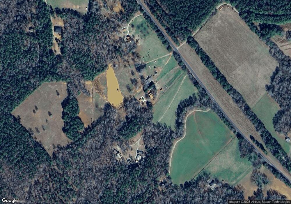
Map
Nearby Homes
- 22631 N Main St
- 630 S Railroad St
- 521 Kline Rd
- 0 Wyatt Rd Unit 10602326
- 0 Post Rd Unit TRACT C 43.44
- 105 Magnolia Dr
- 0 Jeffries Rd Unit TRACT A 32.55
- 2941 Little River Rd
- LOT 18 Shady Farm Rd
- 0 Aikenton Rd Unit 10602329
- 1111 Rocky Creek Rd
- 1225 Pitts Chapel E
- 1041 River Farm Way
- 0 Rocky Creek Rd
- 637 Lakeview Dr
- 1828 Pitts Chapel Rd
- 377 Lakeview Dr
- 172 Lakeview Dr
- 2560 Calvin Rd
- 1981 A Broughton Rd
- 4759 Ga Highway 142
- 4759 Georgia 142
- 4779 Ga Highway 142
- 4877 Ga Highway 142
- 4877 Ga Highway 142
- 4731 Ga Highway 142
- 4659 Ga Highway 142
- 4469 Georgia 142
- 4469 Ga Highway 142
- 4469 Ga Highway 142
- 4469 Ga Highway 142
- 4469 Ga Highway 142
- 4469 Ga Highway 142
- 4469 Ga Highway 142
- 4469 Ga Highway 142
- 4469 Ga Highway 142
- 2006 Davidson Rd
- 1958 Davidson Rd
- 2003 Davidson Rd
- 1850 Davidson Rd