475953 E 1010 Rd Muldrow, OK 74948
Estimated Value: $221,000 - $255,000
3
Beds
3
Baths
1,800
Sq Ft
$132/Sq Ft
Est. Value
About This Home
This home is located at 475953 E 1010 Rd, Muldrow, OK 74948 and is currently estimated at $237,472, approximately $131 per square foot. 475953 E 1010 Rd is a home located in Sequoyah County.
Ownership History
Date
Name
Owned For
Owner Type
Purchase Details
Closed on
Sep 29, 2023
Sold by
Armer Ricky and Armer Rebekah
Bought by
Reynolds Clyde Edward
Current Estimated Value
Purchase Details
Closed on
Sep 30, 2021
Sold by
Armer Ricky and Armer Rebekah
Bought by
Armer Ricky and Armer Rebekah
Purchase Details
Closed on
Oct 31, 2002
Sold by
Sallomon Brothers Realty
Bought by
Armer Ricky D
Purchase Details
Closed on
Jun 6, 2002
Sold by
Seq Co Sheriff
Bought by
Solomon Bro
Purchase Details
Closed on
Jun 30, 1994
Sold by
Nelson Joda and Nelson Geneva
Bought by
Hoover Gary
Create a Home Valuation Report for This Property
The Home Valuation Report is an in-depth analysis detailing your home's value as well as a comparison with similar homes in the area
Purchase History
| Date | Buyer | Sale Price | Title Company |
|---|---|---|---|
| Reynolds Clyde Edward | $98,400 | Valley Land Title | |
| Armer Ricky | -- | None Available | |
| Armer Ricky D | $38,000 | -- | |
| Solomon Bro | -- | -- | |
| Hoover Gary | $46,000 | -- |
Source: Public Records
Tax History
| Year | Tax Paid | Tax Assessment Tax Assessment Total Assessment is a certain percentage of the fair market value that is determined by local assessors to be the total taxable value of land and additions on the property. | Land | Improvement |
|---|---|---|---|---|
| 2025 | $56 | $780 | $780 | $0 |
| 2024 | $56 | $7,732 | $982 | $6,750 |
| 2023 | $482 | $7,507 | $982 | $6,525 |
| 2022 | $450 | $7,288 | $982 | $6,306 |
| 2021 | $442 | $7,183 | $1,188 | $5,995 |
| 2020 | $442 | $7,183 | $1,188 | $5,995 |
| 2019 | $435 | $7,077 | $1,150 | $5,927 |
| 2018 | $420 | $6,872 | $1,079 | $5,793 |
| 2017 | $406 | $6,672 | $198 | $6,474 |
| 2016 | $415 | $6,798 | $198 | $6,600 |
| 2015 | $421 | $6,885 | $198 | $6,687 |
| 2014 | $407 | $6,684 | $185 | $6,499 |
Source: Public Records
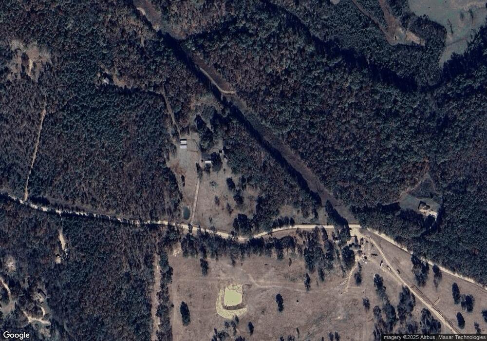
Map
Nearby Homes
- 0 Oklahoma 101
- 471674 E 1020 Rd
- 474132 Oklahoma 101
- Lot 43 E 1028 Rd
- 102816 Oklahoma 64b
- 473763 E 993 Rd
- TBD Oklahoma 101
- 4 E 1000 Rd
- 2 E 1000 Rd
- 3 E 1000 Rd
- 1 E 1000 Rd
- 80 E 1000 Rd
- 104178 S 4769 Rd
- TBD E 1045 Rd
- 95847 S 4789 Rd
- TBD S 4769 Rd
- 103891 Oklahoma 64b
- 0000 S 4800th Rd
- 475531 E 1050 Rd
- 101383 S 4705 Rd
- 101256 S 4758 Rd
- 101229 S 4758 Rd
- 476450 E 1010 Rd
- 474960 E 1007 Rd
- 101594 S 4765 Rd
- TBD 1010 E 1010 Rd
- 475263 E 1010 Rd
- 474873 E 1007 Rd
- 100447 S 4752 Rd
- 475205 E 1010 Rd
- 474764 State Highway 101
- 101678 S 4765 Rd
- 100398 S 4752 Rd
- 0 1015 Rd Unit 1033499
- 0 1015 Rd Unit 1114706
- 0 1015 Rd Unit 1110802
- 0 1015 Rd Unit 1200252
- 0 1015 Rd Unit 1410716
- 0 1015 Rd Unit 1331653
- 0 1015 Rd Unit 1233196
Your Personal Tour Guide
Ask me questions while you tour the home.