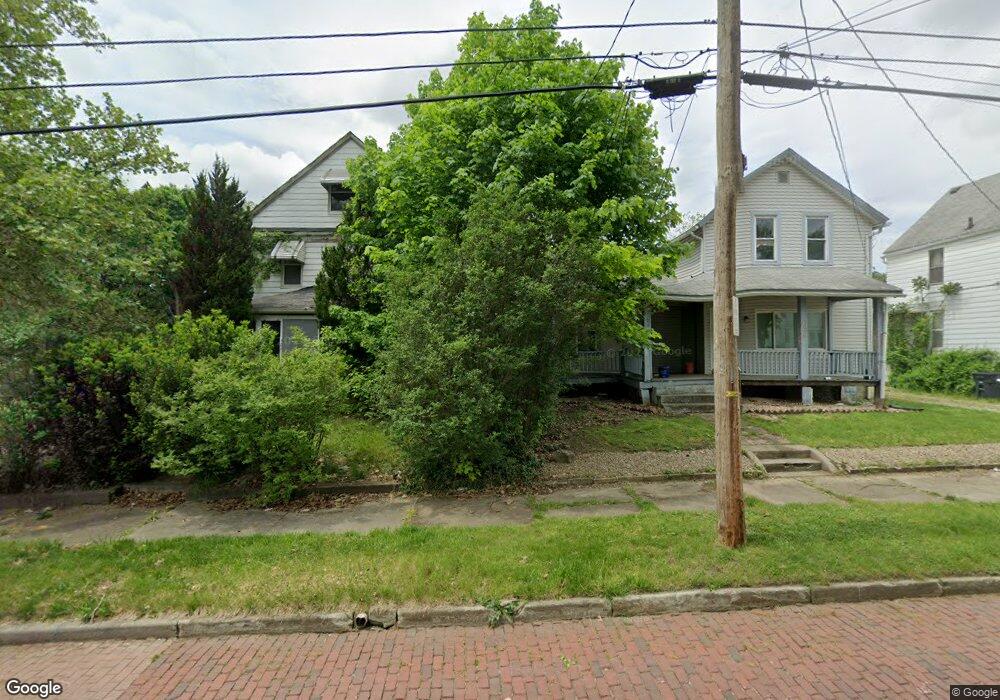
476 Bell St Akron, OH 44307
Sherbondy Hill NeighborhoodEstimated Value: $45,000
About This Home
This home is located at 476 Bell St, Akron, OH 44307 and is currently priced at $45,000, approximately $37 per square foot. 476 Bell St is a home located in Summit County with nearby schools including Towpath Trail High School, St. Vincent Elementary School, and St Vincent-St Mary High School.
Ownership History
We collect this data history from publicly available records. To have your information removed, we recommend requesting removal directly through your county’s website.
Purchase Details
Purchase Details
Purchase Details
Home Values in the Area
Average Home Value in this Area
Purchase History
We collect this data history from publicly available records. To have your information removed, we recommend requesting removal directly through your county’s website.
| Date | Buyer | Sale Price | Title Company |
|---|---|---|---|
| $77,000 | None Listed On Document | ||
| -- | None Listed On Document | ||
| -- | None Available |
Tax History
We collect this data history from publicly available records. To have your information removed, we recommend requesting removal directly through your county’s website.
| Year | Tax Paid | Tax Assessment Tax Assessment Total Assessment is a certain percentage of the fair market value that is determined by local assessors to be the total taxable value of land and additions on the property. | Land | Improvement |
|---|---|---|---|---|
| 2026 | -- | $2,254 | $2,254 | -- |
| 2025 | -- | $2,254 | $2,254 | -- |
| 2024 | -- | $2,254 | $2,254 | -- |
| 2023 | -- | $2,254 | $2,254 | $0 |
| 2022 | -- | $1,327 | $1,327 | $0 |
| 2021 | $611 | $1,327 | $1,327 | $0 |
| 2020 | $0 | $1,330 | $1,330 | $0 |
| 2019 | $1,223 | $2,040 | $2,040 | $0 |
| 2018 | $0 | $2,040 | $2,040 | $0 |
| 2017 | $1,223 | $10,270 | $2,040 | $8,230 |
| 2016 | $761 | $10,460 | $2,040 | $8,420 |
| 2015 | $1,223 | $10,460 | $2,040 | $8,420 |
| 2014 | $755 | $10,460 | $2,040 | $8,420 |
| 2013 | $781 | $11,060 | $2,040 | $9,020 |
Map
- 483 Douglas St
- 417 Raasch Ave
- 492 Douglas St
- 434 Douglas St
- 555 Bishop St
- 458 Crestwood Ave
- 227 S Balch St
- 260 Oakdale Ave
- 572 Auld Farm Cir
- 160 Oakdale Ave
- 531 Fernwood Dr
- 524 Auld Farm Cir
- 222 Rhodes Ave
- 460 Auld Farm Cir
- 106 Bittman St Unit 108
- 471 Beechwood Dr
- 105 Westwood Ave
- 434 Hillwood Dr
- 516 Wildwood Ave
- 340 Crosby St
Ask me questions while you tour the home.