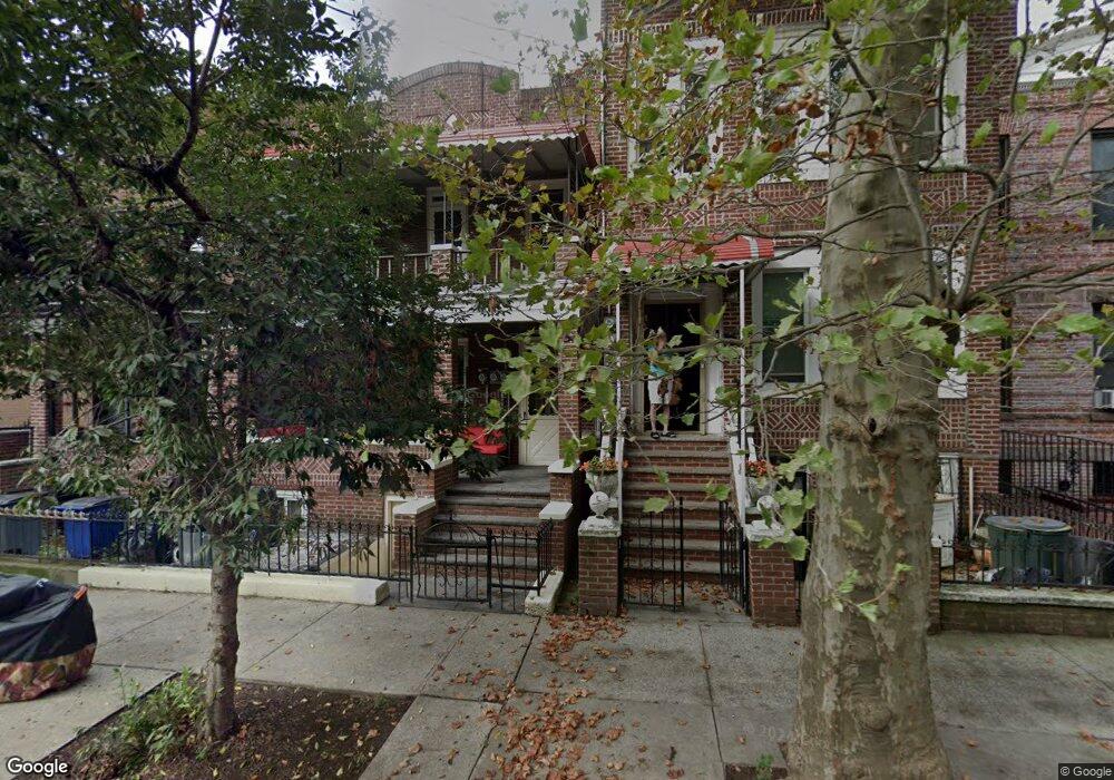
476 Bradford St Brooklyn, NY 11207
East New York NeighborhoodEstimated Value: $755,907 - $922,000
--
Bed
--
Bath
2,176
Sq Ft
$387/Sq Ft
Est. Value
About This Home
This home is located at 476 Bradford St, Brooklyn, NY 11207 and is currently estimated at $842,727, approximately $387 per square foot. 476 Bradford St is a home located in Kings County with nearby schools including P.S. 149 Danny Kaye, J.H.S 292 Margaret S. Douglas, and Achievement First - East New York School.
Ownership History
Date
Name
Owned For
Owner Type
Purchase Details
Closed on
Sep 6, 1995
Sold by
First Home Brokerage Corp
Bought by
George Sullivan A
Current Estimated Value
Home Financials for this Owner
Home Financials are based on the most recent Mortgage that was taken out on this home.
Original Mortgage
$137,015
Interest Rate
7.81%
Mortgage Type
FHA
Purchase Details
Closed on
May 24, 1995
Sold by
Chemical Bank
Bought by
First Home Brokerage Corp and Mitchell Brothers Property Inc
Create a Home Valuation Report for This Property
The Home Valuation Report is an in-depth analysis detailing your home's value as well as a comparison with similar homes in the area
Home Values in the Area
Average Home Value in this Area
Purchase History
| Date | Buyer | Sale Price | Title Company |
|---|---|---|---|
| George Sullivan A | $140,000 | -- | |
| First Home Brokerage Corp | $80,000 | -- |
Source: Public Records
Mortgage History
| Date | Status | Borrower | Loan Amount |
|---|---|---|---|
| Closed | George Sullivan A | $137,015 |
Source: Public Records
Tax History Compared to Growth
Tax History
| Year | Tax Paid | Tax Assessment Tax Assessment Total Assessment is a certain percentage of the fair market value that is determined by local assessors to be the total taxable value of land and additions on the property. | Land | Improvement |
|---|---|---|---|---|
| 2025 | $3,332 | $54,840 | $20,040 | $34,800 |
| 2024 | $3,332 | $52,800 | $20,040 | $32,760 |
| 2023 | $3,179 | $52,740 | $20,040 | $32,700 |
| 2022 | $2,954 | $45,600 | $20,040 | $25,560 |
| 2021 | $2,940 | $41,520 | $20,040 | $21,480 |
| 2020 | $2,212 | $40,920 | $20,040 | $20,880 |
| 2019 | $2,892 | $39,660 | $20,040 | $19,620 |
| 2018 | $2,659 | $13,046 | $7,238 | $5,808 |
| 2017 | $2,513 | $12,330 | $8,615 | $3,715 |
| 2016 | $2,328 | $11,643 | $7,536 | $4,107 |
| 2015 | $1,183 | $11,643 | $5,749 | $5,894 |
| 2014 | $1,183 | $11,520 | $6,824 | $4,696 |
Source: Public Records
Map
Nearby Homes
- 477 Vermont St
- 774 Blake Ave
- 486 Vermont St
- 412 Bradford St
- 439 Vermont St
- 582 Hendrix St
- 459 Miller Ave
- 440 Miller Ave
- 402 van Siclen Ave
- 419 van Siclen Ave
- 443 Miller Ave
- 444 New Jersey Ave
- 615 Hendrix St
- 524 Schenck Ave
- 582 van Siclen Ave Unit 3
- 778 Livonia Ave
- 780 Livonia Ave
- 353 Pennsylvania Ave
- 593 Bradford St
- 342 Wyona St
- 472 Bradford St
- 478 Bradford St
- 470 Bradford St
- 482 Bradford St
- 468 Bradford St
- 484 Bradford St
- 466 Bradford St
- 488 Bradford St
- 469 Wyona St
- 471 Wyona St
- 462 Bradford St
- 465 Wyona St
- 739 Dumont Ave
- 490 Bradford St
- 459 Wyona St
- 460 Bradford St
- 461 Wyona St
- 461 Wyona St Unit 1
- 461 Wyona St Unit 2
- 457 Wyona St