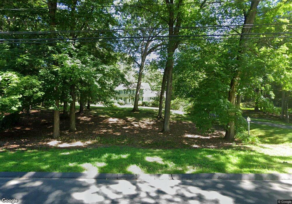
476 Firetown Rd Simsbury, CT 06070
Estimated Value: $558,312 - $644,000
4
Beds
3
Baths
2,327
Sq Ft
$264/Sq Ft
Est. Value
About This Home
This home is located at 476 Firetown Rd, Simsbury, CT 06070 and is currently estimated at $614,078, approximately $263 per square foot. 476 Firetown Rd is a home located in Hartford County with nearby schools including Squadron Line School, Henry James Memorial School, and Simsbury High School.
Ownership History
Date
Name
Owned For
Owner Type
Purchase Details
Closed on
Aug 1, 2022
Sold by
Kremer Richard L
Bought by
Richard L Kremer Rev Lt
Current Estimated Value
Create a Home Valuation Report for This Property
The Home Valuation Report is an in-depth analysis detailing your home's value as well as a comparison with similar homes in the area
Home Values in the Area
Average Home Value in this Area
Purchase History
| Date | Buyer | Sale Price | Title Company |
|---|---|---|---|
| Richard L Kremer Rev Lt | -- | None Available |
Source: Public Records
Tax History Compared to Growth
Tax History
| Year | Tax Paid | Tax Assessment Tax Assessment Total Assessment is a certain percentage of the fair market value that is determined by local assessors to be the total taxable value of land and additions on the property. | Land | Improvement |
|---|---|---|---|---|
| 2025 | $9,089 | $266,070 | $62,370 | $203,700 |
| 2024 | $8,863 | $266,070 | $62,370 | $203,700 |
| 2023 | $8,466 | $266,070 | $62,370 | $203,700 |
| 2022 | $8,513 | $220,360 | $86,620 | $133,740 |
| 2021 | $8,513 | $220,360 | $86,620 | $133,740 |
| 2020 | $8,173 | $220,360 | $86,620 | $133,740 |
| 2019 | $8,224 | $220,360 | $86,620 | $133,740 |
| 2018 | $8,283 | $220,360 | $86,620 | $133,740 |
| 2017 | $7,699 | $198,640 | $84,400 | $114,240 |
| 2016 | $7,374 | $198,640 | $84,400 | $114,240 |
| 2015 | $7,374 | $198,640 | $84,400 | $114,240 |
| 2014 | $7,377 | $198,640 | $84,400 | $114,240 |
Source: Public Records
Map
Nearby Homes
- 247 Old Farms Rd
- 5 Anja Dr
- 324 Firetown Rd
- 7R Stonewall Dr
- 19 Elaine Dr
- 12 Gretel Ln
- 65 Chriswell Dr
- 16 Berkshire Way
- 21 Berkshire Way
- 113 Old Farms Rd
- 7 Knollwood Cir
- 26 Winterset Ln
- 27 Brettonwood Dr Unit 27
- 27 Ridge Rd
- 199 Broad Hill Rd
- 14 Brettonwood Dr
- 45 Hoskins Rd
- 14 Gordon St
- 51 Canton Rd
- 141 Firetown Rd
- 480 Firetown Rd
- 472 Firetown Rd
- 475 Firetown Rd
- 484 Firetown Rd
- 468 Firetown Rd
- 471 Firetown Rd
- 463 Firetown Rd
- 464 Firetown Rd
- 477 Firetown Rd
- 488 Firetown Rd
- 455 Firetown Rd
- 459 Firetown Rd
- 17 Sanctuary Dr
- 462 Firetown Rd
- 324 Old Farms Rd
- 14 Briarwood Dr
- 453 Firetown Rd
- 492 Firetown Rd
- 490 Firetown Rd
- 12 Briarwood Dr