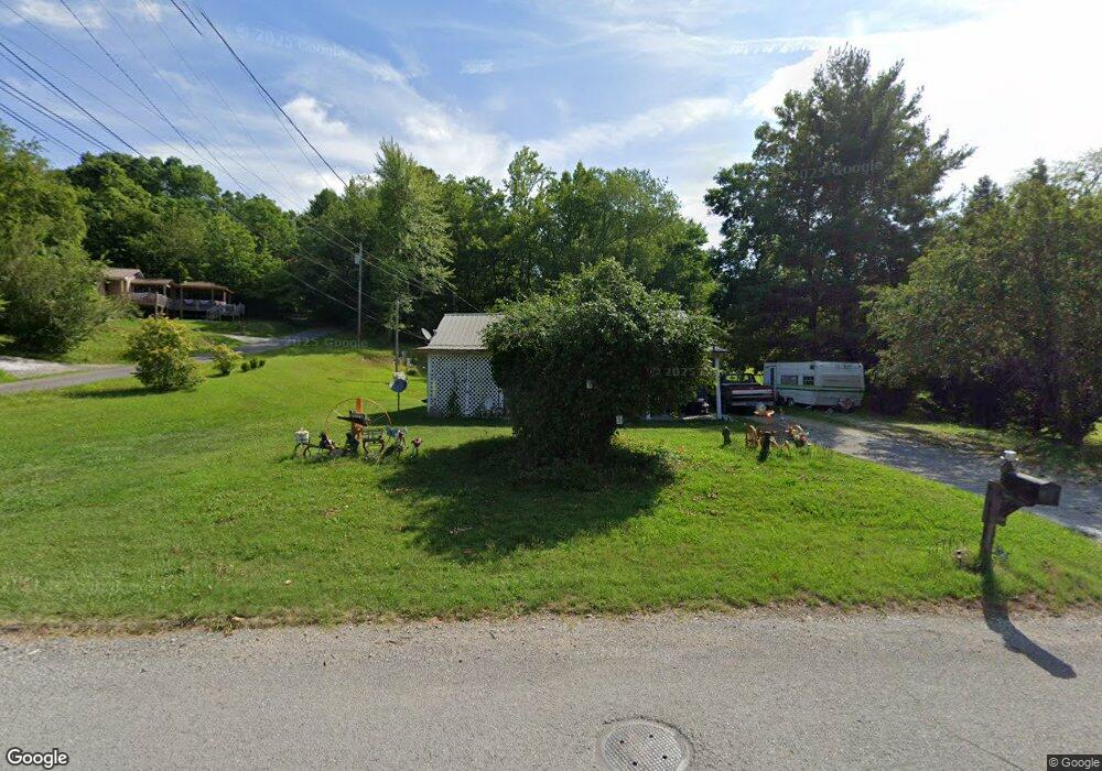
476 Litton Rd Oneida, TN 37841
Estimated Value: $104,076 - $162,000
Studio
1
Bath
1,003
Sq Ft
$139/Sq Ft
Est. Value
About This Home
This home is located at 476 Litton Rd, Oneida, TN 37841 and is currently estimated at $139,519, approximately $139 per square foot. 476 Litton Rd is a home located in Scott County with nearby schools including Oneida Elementary School, Oneida Middle School, and Oneida High School.
Ownership History
Date
Name
Owned For
Owner Type
Purchase Details
Closed on
Jun 1, 2024
Sold by
Smith Angie S and Sexton Ronnie Dean
Bought by
Sexton Tessie
Current Estimated Value
Home Financials for this Owner
Home Financials are based on the most recent Mortgage that was taken out on this home.
Original Mortgage
$28,706
Outstanding Balance
$26,915
Interest Rate
6.44%
Mortgage Type
New Conventional
Estimated Equity
$112,604
Purchase Details
Closed on
Jan 24, 2000
Bought by
Sexton Ronnie G
Purchase Details
Closed on
Sep 19, 1968
Bought by
Sexton Gillie
Create a Home Valuation Report for This Property
The Home Valuation Report is an in-depth analysis detailing your home's value as well as a comparison with similar homes in the area
Home Values in the Area
Average Home Value in this Area
Purchase History
| Date | Buyer | Sale Price | Title Company |
|---|---|---|---|
| Sexton Tessie | -- | None Listed On Document | |
| Sexton Tessie | -- | None Listed On Document | |
| Sexton Ronnie G | -- | -- | |
| Sexton Gillie | -- | -- |
Source: Public Records
Mortgage History
| Date | Status | Borrower | Loan Amount |
|---|---|---|---|
| Open | Sexton Tessie | $28,706 | |
| Closed | Sexton Tessie | $28,706 |
Source: Public Records
Tax History
| Year | Tax Paid | Tax Assessment Tax Assessment Total Assessment is a certain percentage of the fair market value that is determined by local assessors to be the total taxable value of land and additions on the property. | Land | Improvement |
|---|---|---|---|---|
| 2025 | $584 | $18,700 | $3,000 | $15,700 |
| 2024 | $584 | $18,700 | $3,000 | $15,700 |
| 2023 | $601 | $18,700 | $3,000 | $15,700 |
| 2022 | $401 | $9,000 | $3,000 | $6,000 |
| 2021 | $342 | $9,000 | $3,000 | $6,000 |
| 2020 | $291 | $9,000 | $3,000 | $6,000 |
| 2019 | $392 | $9,850 | $3,000 | $6,850 |
| 2018 | $392 | $9,850 | $3,000 | $6,850 |
| 2017 | $403 | $10,125 | $3,000 | $7,125 |
| 2016 | $394 | $10,125 | $3,000 | $7,125 |
| 2015 | $373 | $10,125 | $3,000 | $7,125 |
| 2014 | $373 | $9,875 | $3,000 | $6,875 |
Source: Public Records
Map
Nearby Homes
- 590 Litton Rd
- Tbd Grave Hill Rd
- 19421 Alberta St
- 609 S Proctor Blvd
- 202 Chester St
- 216 Lafayette St
- 191 Ashley Ln
- 458 Slaven Ln
- 18741 Alberta St
- 135 Harold Brooks Ln
- 20064 Alberta St
- 108 W 1st Ave
- 724 W 3rd Ave
- Lot 25-26 Summit Dr
- Lot 27-28 Summit Dr
- 0 Eli Ln
- 942 W 3rd Ave
- 0 Marlow St Unit 1321095
- 265 Grape Rough Rd
- 1631 Grave Hill Rd
Your Personal Tour Guide
Ask me questions while you tour the home.