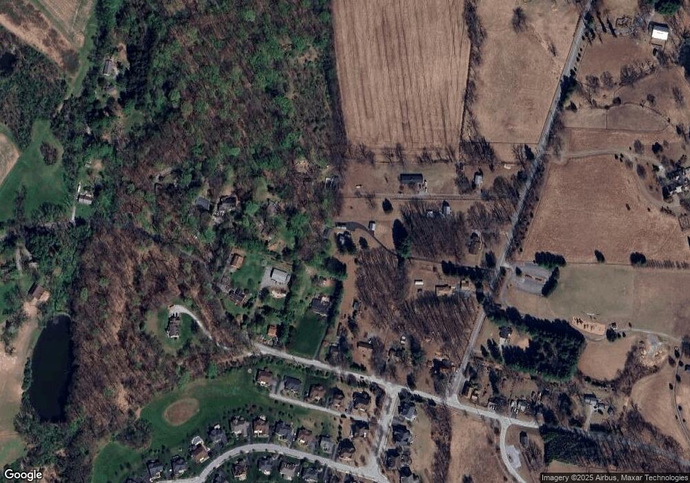
476 Locust Grove Rd West Chester, PA 19382
Estimated Value: $648,000 - $679,000
3
Beds
2
Baths
1,684
Sq Ft
$396/Sq Ft
Est. Value
About This Home
This home is located at 476 Locust Grove Rd, West Chester, PA 19382 and is currently estimated at $666,060, approximately $395 per square foot. 476 Locust Grove Rd is a home located in Chester County with nearby schools including Pocopson Elementary School, Charles F. Patton Middle School, and Unionville High School.
Ownership History
Date
Name
Owned For
Owner Type
Purchase Details
Closed on
Aug 13, 2025
Sold by
Blevins Ronald and Blevins Tanna W
Bought by
Corey Steven and Corey Dana
Current Estimated Value
Home Financials for this Owner
Home Financials are based on the most recent Mortgage that was taken out on this home.
Original Mortgage
$540,000
Outstanding Balance
$539,532
Interest Rate
6.72%
Mortgage Type
New Conventional
Estimated Equity
$126,528
Create a Home Valuation Report for This Property
The Home Valuation Report is an in-depth analysis detailing your home's value as well as a comparison with similar homes in the area
Home Values in the Area
Average Home Value in this Area
Purchase History
| Date | Buyer | Sale Price | Title Company |
|---|---|---|---|
| Corey Steven | $675,000 | One Team Abstract |
Source: Public Records
Mortgage History
| Date | Status | Borrower | Loan Amount |
|---|---|---|---|
| Open | Corey Steven | $540,000 |
Source: Public Records
Tax History Compared to Growth
Tax History
| Year | Tax Paid | Tax Assessment Tax Assessment Total Assessment is a certain percentage of the fair market value that is determined by local assessors to be the total taxable value of land and additions on the property. | Land | Improvement |
|---|---|---|---|---|
| 2025 | $5,592 | $144,490 | $51,810 | $92,680 |
| 2024 | $5,592 | $144,490 | $51,810 | $92,680 |
| 2023 | $5,416 | $144,490 | $51,810 | $92,680 |
| 2022 | $5,304 | $144,490 | $51,810 | $92,680 |
| 2021 | $5,176 | $144,490 | $51,810 | $92,680 |
| 2020 | $5,162 | $144,490 | $51,810 | $92,680 |
| 2019 | $5,069 | $144,490 | $51,810 | $92,680 |
| 2018 | $5,054 | $144,490 | $51,810 | $92,680 |
| 2017 | $4,950 | $144,490 | $51,810 | $92,680 |
| 2016 | $573 | $144,490 | $51,810 | $92,680 |
| 2015 | $573 | $144,490 | $51,810 | $92,680 |
| 2014 | $573 | $144,490 | $51,810 | $92,680 |
Source: Public Records
Map
Nearby Homes
- 586 Corrine Rd
- 1740 Lenape Rd
- 1758 Lenni Dr
- 2039-2035 Lenape Unionville Rd
- 1559 Washington Ln
- 186 Bragg Hill Rd
- 1501 Washington Ln
- 666 E Lafayette Dr
- 700 Patrick Henry Cir
- 765 Folly Hill Rd
- 1314 Bridge Rd
- 7 Bittersweet Dr
- 1435 Lenape Rd
- 10 Trimbles Ford Ln
- 734 Denton Hollow Rd
- 1050 Glen Hall Rd
- 275 S Creek Rd
- 1051 Glen Hall Rd
- 1342 Carolannes Way
- 1053 Unionville Wawaset Rd
- 464 Locust Grove Rd
- 405 Corrine Rd
- 375 Corrine Rd
- 462 Locust Grove Rd
- 468 Locust Grove Rd
- 365 Corrine Rd
- 365 Corrine Rd
- 482 Locust Grove Rd
- 472 Locust Grove Rd
- 445 Corrine Rd
- 425 Corrine Rd
- 475 Corrine Rd
- 395 Corrine Rd
- 361 Corrine Rd
- 495 Corrine Rd
- 498 Corrine Rd
- 460 Locust Grove Rd
- 62 Molly Ln
- 58 Molly Ln
- 54 Molly Ln
