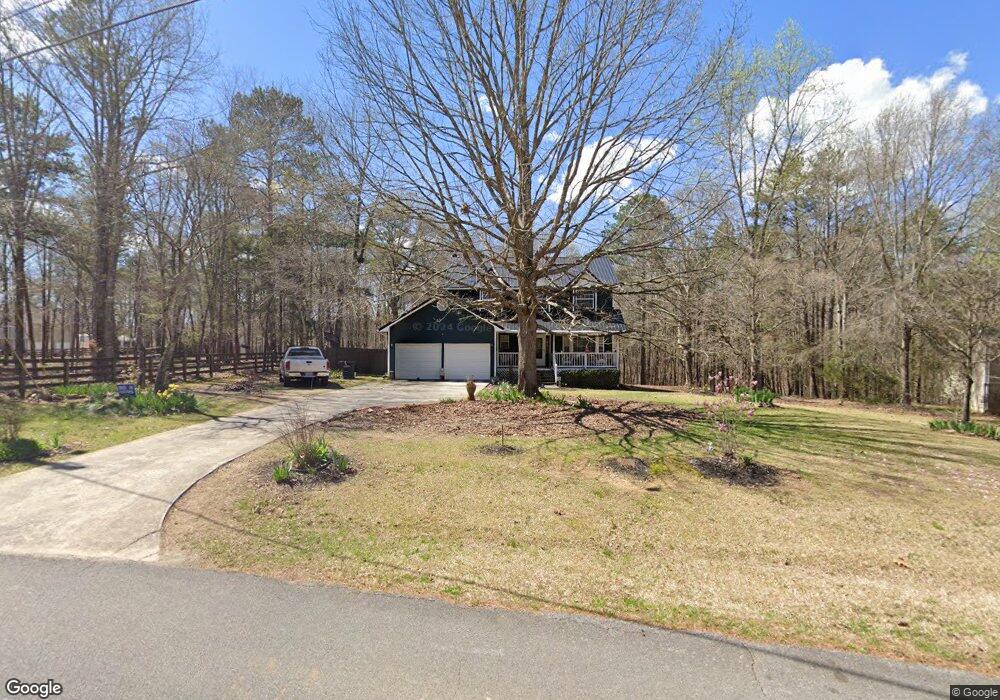
476 Michael Blvd Cedartown, GA 30125
Estimated Value: $313,461 - $325,000
4
Beds
3
Baths
2,191
Sq Ft
$146/Sq Ft
Est. Value
About This Home
This home is located at 476 Michael Blvd, Cedartown, GA 30125 and is currently estimated at $319,865, approximately $145 per square foot. 476 Michael Blvd is a home located in Polk County.
Ownership History
Date
Name
Owned For
Owner Type
Purchase Details
Closed on
Apr 11, 1995
Sold by
Frieson George R
Bought by
Frieson George R and Frieson Linda L
Current Estimated Value
Purchase Details
Closed on
Apr 10, 1995
Sold by
Meadows Carla M and Jackie Steve
Bought by
Frieson George R
Purchase Details
Closed on
Feb 8, 1993
Sold by
Meadows Jackie S
Bought by
Meadows Carla M
Purchase Details
Closed on
Feb 6, 1992
Sold by
Igel Stanley
Bought by
Meadows Jackie S
Purchase Details
Closed on
Jul 1, 1990
Sold by
Igel Stanley
Bought by
Meadows Jackie S
Create a Home Valuation Report for This Property
The Home Valuation Report is an in-depth analysis detailing your home's value as well as a comparison with similar homes in the area
Purchase History
| Date | Buyer | Sale Price | Title Company |
|---|---|---|---|
| Frieson George R | -- | -- | |
| Frieson George R | $83,200 | -- | |
| Meadows Carla M | -- | -- | |
| Meadows Jackie S | -- | -- | |
| Meadows Jackie S | $6,500 | -- |
Source: Public Records
Tax History
| Year | Tax Paid | Tax Assessment Tax Assessment Total Assessment is a certain percentage of the fair market value that is determined by local assessors to be the total taxable value of land and additions on the property. | Land | Improvement |
|---|---|---|---|---|
| 2025 | $2,460 | $123,999 | $15,200 | $108,799 |
| 2024 | $1,940 | $124,799 | $16,000 | $108,799 |
| 2023 | $1,263 | $85,224 | $16,000 | $69,224 |
| 2022 | $759 | $63,998 | $4,660 | $59,338 |
| 2021 | $1,217 | $63,998 | $4,660 | $59,338 |
| 2020 | $1,219 | $63,998 | $4,660 | $59,338 |
| 2019 | $1,137 | $55,672 | $4,000 | $51,672 |
| 2018 | $1,136 | $54,563 | $4,000 | $50,563 |
| 2017 | $1,118 | $54,563 | $4,000 | $50,563 |
| 2016 | $1,118 | $54,563 | $4,000 | $50,563 |
| 2015 | $1,131 | $55,000 | $4,000 | $51,000 |
| 2014 | $1,147 | $55,359 | $4,567 | $50,792 |
Source: Public Records
Map
Nearby Homes
- 354 Michael Blvd
- 387 Michael Blvd
- 425 Chubbtown Rd
- 914 Chubbtown Rd
- 0 Cave Spring Rd Unit 10631588
- 0 Cave Spring Rd Unit 7671027
- 0 Santa Claus Rd Unit 7706526
- 0 Santa Claus Rd Unit 10676218
- 75 Weaver Rd
- 727 Cherokee Rd
- 217 Cherokee Cir
- 39 Summerwind Dr
- 208 Silverthorn Way
- 8 Stonegate Dr
- 88 Sequoyah Ct
- LOT 21 Cherokee Cir
- 8 Sequoyah Ct
- 621 N College Dr
- 413 N College Dr
- 0 Collins Rd Unit 10627302
- 491 Michael Blvd
- 442 Michael Blvd
- 421 Michael Blvd
- 522 Michael Blvd
- 519 Michael Blvd
- 436 Michael Blvd
- 403 Michael Blvd
- 21 Paula Ct
- 23 Paula Ct
- 480 Michael Blvd
- 0 Michael Blvd
- 0 Michael Blvd Unit 7554775
- 0 Michael Blvd Unit 7452611
- 0 Michael Blvd Unit 8667105
- 401 Michael Blvd
- 412 Michael Blvd
- 591 Michael Blvd
- 41 Paula Ct
- 612 Michael Blvd
- 24 Paula Ct
Your Personal Tour Guide
Ask me questions while you tour the home.