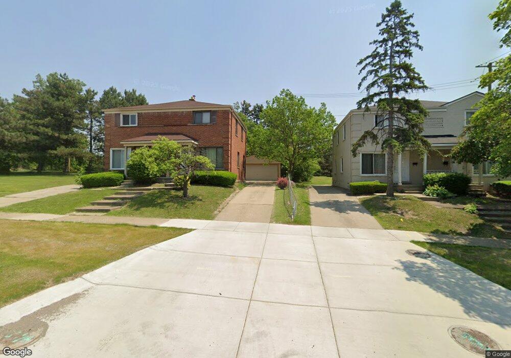
476 Ml King jr Blvd N Pontiac, MI 48342
Estimated Value: $126,458 - $186,000
2
Beds
1
Bath
982
Sq Ft
$163/Sq Ft
Est. Value
About This Home
This home is located at 476 Ml King jr Blvd N, Pontiac, MI 48342 and is currently estimated at $159,615, approximately $162 per square foot. 476 Ml King jr Blvd N is a home located in Oakland County with nearby schools including Herrington Elementary School, Pontiac Middle School, and Pontiac High School.
Ownership History
Date
Name
Owned For
Owner Type
Purchase Details
Closed on
Mar 6, 2019
Sold by
Tcf National Bank
Bought by
Construction Reetz
Current Estimated Value
Purchase Details
Closed on
Aug 28, 2018
Sold by
Eubanks Clinton D and Eubanks Elyse
Bought by
Tcf National Bank Na
Purchase Details
Closed on
Feb 22, 2008
Sold by
Eubanks Clinton D and Eubanks Flossie
Bought by
Eubanks Clinton D and Eubanks Elise K
Create a Home Valuation Report for This Property
The Home Valuation Report is an in-depth analysis detailing your home's value as well as a comparison with similar homes in the area
Home Values in the Area
Average Home Value in this Area
Purchase History
| Date | Buyer | Sale Price | Title Company |
|---|---|---|---|
| Construction Reetz | $34,150 | None Available | |
| Tcf National Bank Na | $64,663 | None Available | |
| Eubanks Clinton D | -- | None Available |
Source: Public Records
Tax History Compared to Growth
Tax History
| Year | Tax Paid | Tax Assessment Tax Assessment Total Assessment is a certain percentage of the fair market value that is determined by local assessors to be the total taxable value of land and additions on the property. | Land | Improvement |
|---|---|---|---|---|
| 2024 | $1,665 | $41,930 | $0 | $0 |
| 2023 | $1,587 | $38,840 | $0 | $0 |
| 2022 | $1,657 | $33,460 | $0 | $0 |
| 2021 | $1,483 | $29,410 | $0 | $0 |
| 2020 | $1,642 | $26,270 | $0 | $0 |
| 2019 | $473 | $22,140 | $0 | $0 |
| 2018 | $464 | $22,340 | $0 | $0 |
| 2017 | $298 | $21,070 | $0 | $0 |
| 2016 | $296 | $17,460 | $0 | $0 |
| 2015 | -- | $15,750 | $0 | $0 |
| 2014 | -- | $15,230 | $0 | $0 |
| 2011 | -- | $27,640 | $0 | $0 |
Source: Public Records
Map
Nearby Homes
- 514 Linda Vista Dr
- 472 University Dr
- Fairfiled Plan at Fairview Village
- Enclave II Plan at Fairview Village
- Enclave Plan at Fairview Village
- Carlyle Plan at Fairview Village
- 591 Brady Ln
- 597 Brady Ln
- 428 Jordon Rd
- 602 Brady Ln
- 608 Brady Ln
- 644 Brady Ln
- 442 Kenilworth Ave
- 472 Kenilworth Ave
- 0 Cesar Chavez Rd Unit 50166552
- 509 Cameron Ave
- 457 Cameron Ave
- 669 N Perry St
- 633 N Perry St
- 141 Oliver St
- 476 Martin Luther King Junior Blvd N
- 493 Ml King jr Blvd N
- 481 Ml King jr Blvd N
- 487 Ml King jr Blvd N
- 490 Granada Dr
- 486 Granada Dr
- 475 Ml King jr Blvd N
- 494 Granada Dr
- 480 Granada Dr
- 452 Granada Dr
- 469 Martin Luther King jr Blvd N
- 470 Granada Dr
- 499 Ml King jr Blvd N
- 474 Granada Dr
- 464 Granada Dr
- 504 Granada Dr
- 458 Granada Dr
- 500 Granada Dr
- 463 Ml King jr Blvd N
- 509 Ml King jr Blvd N