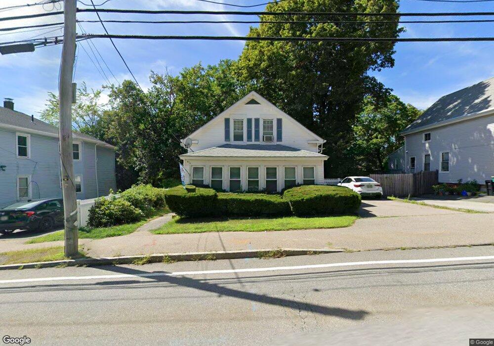
476 N Washington St North Attleboro, MA 02760
North Attleboro NeighborhoodEstimated Value: $382,000 - $430,000
3
Beds
2
Baths
974
Sq Ft
$411/Sq Ft
Est. Value
About This Home
This home is located at 476 N Washington St, North Attleboro, MA 02760 and is currently estimated at $400,111, approximately $410 per square foot. 476 N Washington St is a home located in Bristol County with nearby schools including North Attleboro High School and Cadence Academy Preschool - North Attleborough.
Ownership History
Date
Name
Owned For
Owner Type
Purchase Details
Closed on
Mar 30, 2012
Sold by
Johnson Patricia E
Bought by
Johnson Ft
Current Estimated Value
Purchase Details
Closed on
Jan 1, 1981
Bought by
Johnson Ft
Create a Home Valuation Report for This Property
The Home Valuation Report is an in-depth analysis detailing your home's value as well as a comparison with similar homes in the area
Home Values in the Area
Average Home Value in this Area
Purchase History
| Date | Buyer | Sale Price | Title Company |
|---|---|---|---|
| Johnson Ft | -- | -- | |
| Johnson Ft | -- | -- |
Source: Public Records
Mortgage History
| Date | Status | Borrower | Loan Amount |
|---|---|---|---|
| Previous Owner | Johnson Ft | $30,000 | |
| Previous Owner | Johnson Ft | $59,350 | |
| Previous Owner | Johnson Ft | $30,000 |
Source: Public Records
Tax History Compared to Growth
Tax History
| Year | Tax Paid | Tax Assessment Tax Assessment Total Assessment is a certain percentage of the fair market value that is determined by local assessors to be the total taxable value of land and additions on the property. | Land | Improvement |
|---|---|---|---|---|
| 2025 | $3,551 | $301,200 | $106,900 | $194,300 |
| 2024 | $3,394 | $294,100 | $106,900 | $187,200 |
| 2023 | $3,400 | $265,800 | $106,900 | $158,900 |
| 2022 | $3,332 | $239,200 | $101,500 | $137,700 |
| 2021 | $0 | $227,300 | $96,200 | $131,100 |
| 2020 | $3,138 | $218,700 | $90,800 | $127,900 |
| 2019 | $0 | $205,100 | $82,600 | $122,500 |
| 2018 | $0 | $189,600 | $77,700 | $111,900 |
| 2017 | $2,302 | $174,100 | $72,900 | $101,200 |
| 2016 | $2,384 | $180,300 | $97,200 | $83,100 |
| 2015 | $2,230 | $169,700 | $97,200 | $72,500 |
| 2014 | $2,265 | $171,100 | $91,200 | $79,900 |
Source: Public Records
Map
Nearby Homes
- 35-R Whiting St
- 45 Moran St
- 64 Smith St
- 2 Franklin Ave
- 271 N Washington St
- 34 Hawthorne St
- 194 Smith St
- 157 Fisher St
- 39 Columbia St
- 835 Mt Hope St Unit 39
- 633 E Washington St Unit 17
- 29 Broad St
- 68 N Washington St Unit 210
- 19 Church St Unit C9
- 12 Houde St
- 0 Landry 2nd Unit 73350867
- 9 Sunnyside Dr Unit 9
- 19 Valerie Dr
- 16 Richards Ave Unit 106
- 93 Bank St
- 480 N Washington St
- 472 N Washington St
- 472 N Washington St Unit 2
- 482 N Washington St
- 466 N Washington St
- 466 N Washington St Unit 1
- 221 Park St
- 486 N Washington St
- 486 N Washington St Unit 2
- 460 N Washington St
- 465 N Washington St
- 496 N Washington St Unit 1
- 235 Park St
- 498 N Washington St
- 495 N Washington St
- 485 N Washington St
- 455 N Washington St
- 247 Park St Unit 22
- 247 Park St
- 243 Park St Unit 21