476 Ridge Rd Hardwick, MA 01037
Estimated Value: $413,595 - $460,000
3
Beds
1
Bath
1,722
Sq Ft
$249/Sq Ft
Est. Value
About This Home
This home is located at 476 Ridge Rd, Hardwick, MA 01037 and is currently estimated at $429,399, approximately $249 per square foot. 476 Ridge Rd is a home with nearby schools including Quabbin Regional Middle School and Quabbin Regional High School.
Ownership History
Date
Name
Owned For
Owner Type
Purchase Details
Closed on
Jul 10, 2025
Sold by
Allen Charles D
Bought by
Charles D Allen Ret and Allen
Current Estimated Value
Purchase Details
Closed on
Sep 27, 2002
Sold by
Allen Charles M and Allen Sandra L
Bought by
Allen Charles D
Home Financials for this Owner
Home Financials are based on the most recent Mortgage that was taken out on this home.
Original Mortgage
$107,000
Interest Rate
6.25%
Mortgage Type
Purchase Money Mortgage
Create a Home Valuation Report for This Property
The Home Valuation Report is an in-depth analysis detailing your home's value as well as a comparison with similar homes in the area
Home Values in the Area
Average Home Value in this Area
Purchase History
| Date | Buyer | Sale Price | Title Company |
|---|---|---|---|
| Allen Charles D | $133,800 | -- |
Source: Public Records
Mortgage History
| Date | Status | Borrower | Loan Amount |
|---|---|---|---|
| Open | Allen Charles D | $107,000 |
Source: Public Records
Tax History Compared to Growth
Tax History
| Year | Tax Paid | Tax Assessment Tax Assessment Total Assessment is a certain percentage of the fair market value that is determined by local assessors to be the total taxable value of land and additions on the property. | Land | Improvement |
|---|---|---|---|---|
| 2025 | $4,581 | $348,400 | $78,800 | $269,600 |
| 2024 | $4,397 | $348,400 | $78,800 | $269,600 |
| 2023 | $4,429 | $333,000 | $75,300 | $257,700 |
| 2022 | $4,279 | $291,100 | $75,300 | $215,800 |
| 2021 | $4,208 | $267,500 | $74,500 | $193,000 |
| 2020 | $4,139 | $259,000 | $82,300 | $176,700 |
| 2019 | $3,999 | $249,300 | $82,300 | $167,000 |
| 2018 | $3,842 | $229,500 | $88,100 | $141,400 |
| 2017 | $3,002 | $187,600 | $88,100 | $99,500 |
| 2016 | $3,250 | $206,100 | $77,400 | $128,700 |
| 2015 | $3,271 | $205,700 | $79,300 | $126,400 |
Source: Public Records
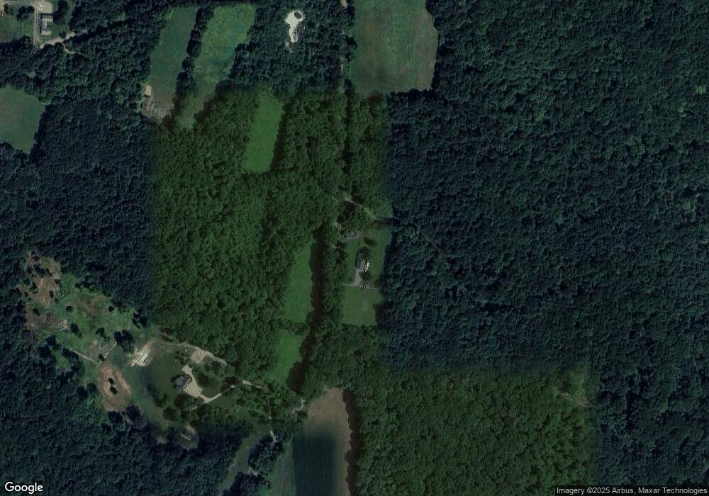
Map
Nearby Homes
- Lot 3 Clapp Rd
- Lot 2 North Rd
- 1619 Barre Rd
- 34 Ruggles Hill Rd
- 82 Petersham Rd
- LOT 2 Petersham Rd
- 0 Patrill Hollow Rd Unit 73389714
- 58 Ruggles St
- Delargy Rd
- 0 Lower Rd
- 1450 Lower Rd
- Lot 2, 205 Upper Church St
- Lot 4, 205 Upper Church St
- Lot 3, 205 Upper Church St
- Lot 5, 205 Upper Church St
- 822 Hardwick Rd
- Lot 7 Delargy Rd
- lot 3 West Rd
- 697 Lower Rd
- 1163 Petersham Rd
- 0 Ridge Road Simpon Unit 71438383
- 389 Ridge Rd
- 707 Ruggles Hill Rd
- 0 Ridge Road Lot #7 Unit 30658315
- 9 Ridge Road Parcel 9
- 0 Ridge Road Parcel 10 Unit 30572416
- 620 Ridge Rd
- Lot 10 Ridge Rd
- Lot 7 Ridge Rd
- 317 Ridge Rd
- 0 Ruggles Hill Unit 20045182
- 665 Ruggles Hill Rd
- 262 Ridge Rd
- 583 Ruggles Hill Rd
- 670 Ridge Rd
- 258 Ridge Rd
- 295 Ridge Rd
- 710 Ridge Rd
- 752 Ridge Rd
- Lot B Clapp Rd