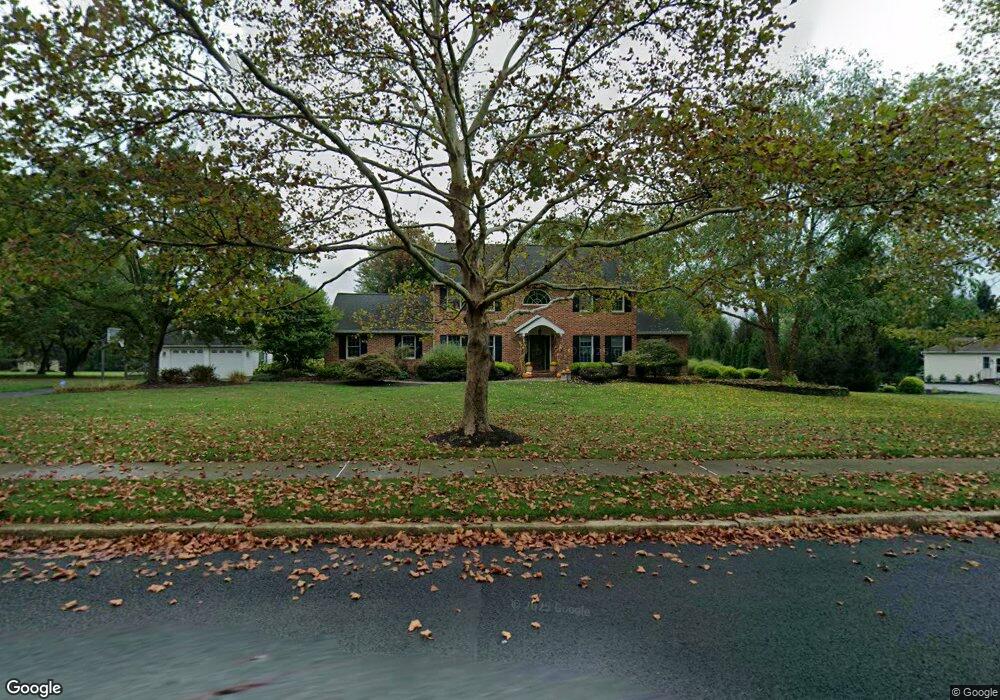
4760 Cheshire Rd Doylestown, PA 18902
Plumstead NeighborhoodEstimated Value: $1,143,196 - $1,274,000
5
Beds
3
Baths
3,542
Sq Ft
$341/Sq Ft
Est. Value
About This Home
This home is located at 4760 Cheshire Rd, Doylestown, PA 18902 and is currently estimated at $1,206,799, approximately $340 per square foot. 4760 Cheshire Rd is a home located in Bucks County with nearby schools including Gayman Elementary School, Tohickon Middle School, and Central Bucks High School - East.
Ownership History
Date
Name
Owned For
Owner Type
Purchase Details
Closed on
Nov 30, 1998
Sold by
Smith Kathleen J
Bought by
Lewis Christopher A and Lewis Kara J
Current Estimated Value
Home Financials for this Owner
Home Financials are based on the most recent Mortgage that was taken out on this home.
Original Mortgage
$307,000
Outstanding Balance
$74,091
Interest Rate
7.5%
Estimated Equity
$1,132,708
Purchase Details
Closed on
Apr 11, 1989
Bought by
Smith William S Jr
Create a Home Valuation Report for This Property
The Home Valuation Report is an in-depth analysis detailing your home's value as well as a comparison with similar homes in the area
Home Values in the Area
Average Home Value in this Area
Purchase History
| Date | Buyer | Sale Price | Title Company |
|---|---|---|---|
| Lewis Christopher A | $384,500 | -- | |
| Smith William S Jr | $337,500 | -- |
Source: Public Records
Mortgage History
| Date | Status | Borrower | Loan Amount |
|---|---|---|---|
| Open | Lewis Christopher A | $307,000 |
Source: Public Records
Tax History Compared to Growth
Tax History
| Year | Tax Paid | Tax Assessment Tax Assessment Total Assessment is a certain percentage of the fair market value that is determined by local assessors to be the total taxable value of land and additions on the property. | Land | Improvement |
|---|---|---|---|---|
| 2025 | $12,804 | $73,690 | $10,280 | $63,410 |
| 2024 | $12,804 | $73,690 | $10,280 | $63,410 |
| 2023 | $12,397 | $73,690 | $10,280 | $63,410 |
| 2022 | $12,258 | $73,690 | $10,280 | $63,410 |
| 2021 | $12,121 | $73,690 | $10,280 | $63,410 |
| 2020 | $12,121 | $73,690 | $10,280 | $63,410 |
| 2019 | $12,048 | $73,690 | $10,280 | $63,410 |
| 2018 | $12,048 | $73,690 | $10,280 | $63,410 |
| 2017 | $11,882 | $73,690 | $10,280 | $63,410 |
| 2016 | $11,882 | $73,690 | $10,280 | $63,410 |
| 2015 | -- | $73,690 | $10,280 | $63,410 |
| 2014 | -- | $73,690 | $10,280 | $63,410 |
Source: Public Records
Map
Nearby Homes
- 4964 Point Pleasant Pike
- 0 Valley Park Rd
- 5182 Point Pleasant Pike
- 4306 Kleinot Dr
- 4298 Kleinot Dr
- 4246 Kleinot Dr
- 4330 Kleinot Dr
- 4464 Kleinot Dr
- 4317 Kleinot Dr
- 4263 Kleinot Dr
- 6680 Point Pleasant Pike
- 4221 Sir Andrew Cir
- 4190 Milords Ln
- 4925 Redfield Rd
- 4936 Davis Dr
- 4936 Curly Hill Rd
- 3923 Ferry Rd
- 4605 Twinbrook Cir
- 5090 Durham Rd
- 3838 Jacob Stout Rd
- 4750 Cheshire Rd
- 4770 Cheshire Rd
- 4755 Cheshire Rd
- 4765 Cheshire Rd
- 4775 Cheshire Rd
- 4730 Cheshire Rd
- 4745 Cheshire Rd
- 4680 Derby Ln
- 4790 Cheshire Rd
- 4670 Derby Ln
- 4660 Derby Ln
- 4795 Cheshire Rd
- 4725 Cheshire Rd
- 4720 Cheshire Rd
- 4752 Point Pleasant Pike
- 4780 Point Pleasant Pike
- 4650 Derby Ln
- 4800 Cheshire Rd
- 4790 Point Pleasant Pike
- 4805 Cheshire Rd