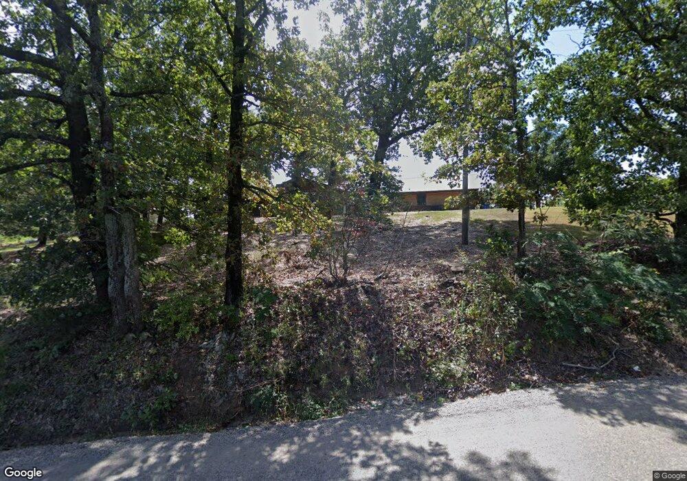
476044 E 1100 Rd Muldrow, OK 74948
Estimated Value: $261,000 - $422,000
3
Beds
2
Baths
1,916
Sq Ft
$166/Sq Ft
Est. Value
About This Home
This home is located at 476044 E 1100 Rd, Muldrow, OK 74948 and is currently estimated at $318,998, approximately $166 per square foot. 476044 E 1100 Rd is a home located in Sequoyah County with nearby schools including Roland Middle School and Roland High School.
Ownership History
Date
Name
Owned For
Owner Type
Purchase Details
Closed on
Oct 21, 2016
Sold by
Wall Lee Raymond and Wall Laura L
Bought by
Niemann Nicholas J and Niemann Desirae L
Current Estimated Value
Home Financials for this Owner
Home Financials are based on the most recent Mortgage that was taken out on this home.
Original Mortgage
$148,500
Outstanding Balance
$118,332
Interest Rate
3.44%
Mortgage Type
New Conventional
Estimated Equity
$200,666
Purchase Details
Closed on
Jan 13, 2013
Sold by
Wall Lee and Wall Kathy
Bought by
Niemann Nick
Purchase Details
Closed on
Mar 9, 2005
Sold by
Earp Ira Wayne and Earp Norma Jo
Bought by
Wall Kathryn D and Wall Lee R
Create a Home Valuation Report for This Property
The Home Valuation Report is an in-depth analysis detailing your home's value as well as a comparison with similar homes in the area
Home Values in the Area
Average Home Value in this Area
Purchase History
| Date | Buyer | Sale Price | Title Company |
|---|---|---|---|
| Niemann Nicholas J | $165,000 | None Available | |
| Niemann Nick | $19,500 | None Available | |
| Wall Kathryn D | $110,000 | None Available |
Source: Public Records
Mortgage History
| Date | Status | Borrower | Loan Amount |
|---|---|---|---|
| Open | Niemann Nicholas J | $148,500 |
Source: Public Records
Tax History Compared to Growth
Tax History
| Year | Tax Paid | Tax Assessment Tax Assessment Total Assessment is a certain percentage of the fair market value that is determined by local assessors to be the total taxable value of land and additions on the property. | Land | Improvement |
|---|---|---|---|---|
| 2025 | $1,674 | $19,823 | $2,837 | $16,986 |
| 2024 | $1,674 | $19,246 | $2,048 | $17,198 |
| 2023 | $1,624 | $18,685 | $2,048 | $16,637 |
| 2022 | $1,512 | $18,141 | $2,048 | $16,093 |
| 2021 | $1,630 | $19,289 | $2,046 | $17,243 |
| 2020 | $1,665 | $19,289 | $2,046 | $17,243 |
| 2019 | $1,696 | $19,629 | $2,046 | $17,583 |
| 2018 | $1,511 | $19,058 | $2,046 | $17,012 |
| 2017 | $1,547 | $18,151 | $2,046 | $16,105 |
| 2016 | $1,110 | $14,207 | $2,046 | $12,161 |
| 2015 | $1,107 | $14,471 | $2,046 | $12,425 |
| 2014 | $1,099 | $14,359 | $2,913 | $11,446 |
Source: Public Records
Map
Nearby Homes
- 0000 Cottonwood Rd
- 110907 S 4760 Rd
- 476120 E 1091 Rd
- 511 Mayfield Dr
- 407 W Ray Fine Blvd
- 505 Mayfield Dr
- 109365 S 4749 Rd
- 400 W Ray Fine Blvd
- 110662 S 4750 Rd
- 476967 E 1090 Rd
- 200 S Jeff Ln
- TBD W Ray Fine Blvd
- 404 W Ray Fine Blvd
- 910 James St
- 108663 S 4765 Rd
- 113 Cherokee Blvd
- 108982 Hummingbird Ln
- 108962 Hummingbird Ln
- 309 Adysen St
- 304 Oakdale Rd
- 476076 E 1100 Rd
- 110065 S 4760 Rd
- 476079 E 1100 Rd
- 475937 E 1100 Rd
- 110120 S 4760 Rd
- 110127 S 4760 Rd
- 110127 S 4760 Rd
- 476190 E 1100 Rd
- 109868 S 4760 Rd
- 476289 E 1100 Rd
- 110171 S 4760 Rd
- 475983 E 1100 Rd
- 0001 Cottonwood Rd
- 110229 S 4760 Rd
- 475871 E 1100 Rd
- 476272 E 1100 Rd
- 476272 E 1100 Rd
- 475975 E 1098 Rd
- 110253 S 4760 Rd
- 476319 E 1100 Rd
