47607 Lea Baird Ln Bay Minette, AL 36507
Estimated Value: $286,726 - $368,000
3
Beds
1
Bath
2,214
Sq Ft
$147/Sq Ft
Est. Value
About This Home
This home is located at 47607 Lea Baird Ln, Bay Minette, AL 36507 and is currently estimated at $325,682, approximately $147 per square foot. 47607 Lea Baird Ln is a home located in Baldwin County with nearby schools including Bay Minette Elementary School, Bay Minette Middle School, and Baldwin County High School.
Ownership History
Date
Name
Owned For
Owner Type
Purchase Details
Closed on
Apr 4, 2012
Sold by
Scruggs Donnis K
Bought by
Scruggs Scruggs Donnis K Donnis K and Scruggs Logan Carrie
Current Estimated Value
Home Financials for this Owner
Home Financials are based on the most recent Mortgage that was taken out on this home.
Original Mortgage
$85,500
Outstanding Balance
$11,590
Interest Rate
3.95%
Mortgage Type
New Conventional
Estimated Equity
$314,092
Purchase Details
Closed on
Jun 6, 2007
Sold by
Franco Brenda Kay and Scruggs Brenda Kay
Bought by
Scruggs Donnis
Create a Home Valuation Report for This Property
The Home Valuation Report is an in-depth analysis detailing your home's value as well as a comparison with similar homes in the area
Home Values in the Area
Average Home Value in this Area
Purchase History
| Date | Buyer | Sale Price | Title Company |
|---|---|---|---|
| Scruggs Scruggs Donnis K Donnis K | -- | Investors Title Insurance Co | |
| Scruggs Donnis | -- | None Available |
Source: Public Records
Mortgage History
| Date | Status | Borrower | Loan Amount |
|---|---|---|---|
| Open | Scruggs Scruggs Donnis K Donnis K | $85,500 |
Source: Public Records
Tax History Compared to Growth
Tax History
| Year | Tax Paid | Tax Assessment Tax Assessment Total Assessment is a certain percentage of the fair market value that is determined by local assessors to be the total taxable value of land and additions on the property. | Land | Improvement |
|---|---|---|---|---|
| 2024 | $259 | $16,000 | $2,220 | $13,780 |
| 2023 | $226 | $14,600 | $2,220 | $12,380 |
| 2022 | $226 | $18,180 | $0 | $0 |
| 2021 | $320 | $16,400 | $0 | $0 |
| 2020 | $320 | $14,960 | $0 | $0 |
| 2019 | $320 | $14,600 | $0 | $0 |
| 2018 | $303 | $13,880 | $0 | $0 |
| 2017 | $300 | $13,740 | $0 | $0 |
| 2016 | $275 | $12,700 | $0 | $0 |
| 2015 | $280 | $12,900 | $0 | $0 |
| 2014 | $284 | $13,080 | $0 | $0 |
| 2013 | -- | $13,200 | $0 | $0 |
Source: Public Records
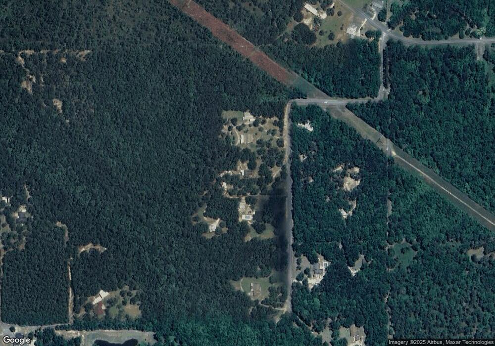
Map
Nearby Homes
- 47580 Lea Baird Ln Unit 3
- 1100 Northshore Dr
- 2104 Cate Ct
- 515 Cate Ct Unit Lot 515, Ph V
- 708 Rachel Dr Unit 404
- 15373 Calvin Richerson Rd
- 48818 Living Way
- 48980 Rabun Rd
- 2603 Scarlet Dr
- 15799 Fawns Run Rd
- 15799 Fawns Run Rd Unit 1
- 0 Rockhill Rd
- 000 Rabun Rd Unit 1 & 2
- 603 Northshore Dr
- 1819 Mary Jane Dr
- 1204 Forest Park Ave
- 300 Northshore Dr
- 0 Norwood Dr Unit 2 365989
- 1800 Elaine Ave
- 1701 Auburn Ave
- 47653 Lea Baird Ln
- 47561 Lea Baird Ln
- 47688 Lea Baird Ln
- 47451 Lea Baird Ln
- 47451 Lea Baird Ln
- 47510 Lea Baird Ln
- 47512 Lea Baird Ln
- 15420 Drinkard Rd
- 15498 Drinkard Rd
- 15049 Morris Rd Unit A
- 47480 Lea Baird Ln
- 15495 Drinkard Rd
- 15241 Cricket Ln
- 15241 Cricket Ln
- 15241 Cricket Ln
- 47323 Private Place
- 15055 Morris Rd
- 15650 Drinkard Rd
- 15650 Drinkard Rd
- 15660 Drinkard Rd