Estimated Value: $700,086 - $997,000
3
Beds
3
Baths
1,857
Sq Ft
$449/Sq Ft
Est. Value
About This Home
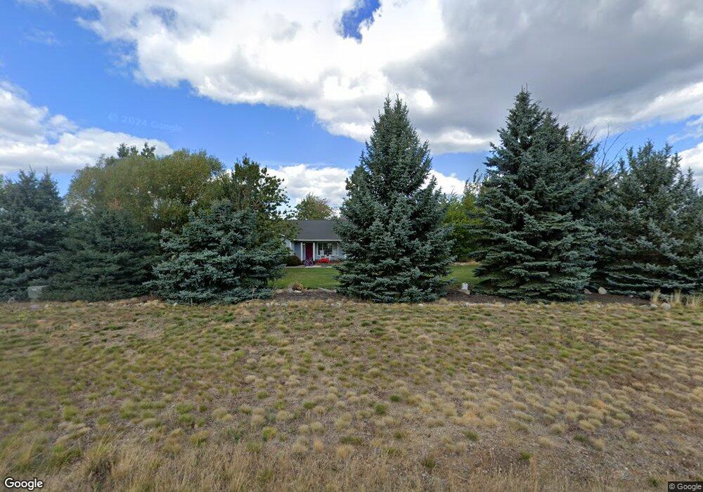
This home is located at 4761 E Lupin Ln, Athol, ID 83801 and is currently estimated at $834,029, approximately $449 per square foot. 4761 E Lupin Ln is a home located in Kootenai County with nearby schools including Athol Elementary School, Timberlake Junior High School, and Timberlake Senior High School.
Ownership History
Date
Name
Owned For
Owner Type
Purchase Details
Closed on
Aug 20, 2007
Sold by
Mackinzie Lynne D and Mackinzie William L
Bought by
Walker Elizabeth E
Current Estimated Value
Home Financials for this Owner
Home Financials are based on the most recent Mortgage that was taken out on this home.
Original Mortgage
$256,000
Outstanding Balance
$159,504
Interest Rate
6.62%
Mortgage Type
New Conventional
Estimated Equity
$674,525
Create a Home Valuation Report for This Property
The Home Valuation Report is an in-depth analysis detailing your home's value as well as a comparison with similar homes in the area
Purchase History
| Date | Buyer | Sale Price | Title Company |
|---|---|---|---|
| Walker Elizabeth E | -- | -- |
Source: Public Records
Mortgage History
| Date | Status | Borrower | Loan Amount |
|---|---|---|---|
| Open | Walker Elizabeth E | $256,000 |
Source: Public Records
Tax History
| Year | Tax Paid | Tax Assessment Tax Assessment Total Assessment is a certain percentage of the fair market value that is determined by local assessors to be the total taxable value of land and additions on the property. | Land | Improvement |
|---|---|---|---|---|
| 2025 | $2,032 | $737,297 | $413,977 | $323,320 |
| 2024 | $2,108 | $704,803 | $380,483 | $324,320 |
| 2023 | $2,108 | $803,505 | $456,483 | $347,022 |
| 2022 | $2,434 | $727,255 | $380,233 | $347,022 |
| 2021 | $2,646 | $506,858 | $258,992 | $247,866 |
| 2020 | $2,376 | $390,562 | $198,272 | $192,290 |
| 2019 | $2,434 | $358,462 | $176,782 | $181,680 |
| 2018 | $2,326 | $316,407 | $149,297 | $167,110 |
| 2017 | $2,203 | $286,610 | $122,840 | $163,770 |
| 2016 | $1,753 | $250,866 | $94,626 | $156,240 |
| 2015 | $1,731 | $227,210 | $71,500 | $155,710 |
| 2013 | $1,576 | $211,206 | $70,086 | $141,120 |
Source: Public Records
Map
Nearby Homes
- Lot 9 Dawson Lp
- Lot 11 Asulkan St
- Lot 12 Asulkan St
- Lot 13 Asulkan St
- Lot 20 Asulkan St
- Lot 17 Asulkan St
- Lot 14 Asulkan St
- Lot 16 Asulkan St
- Lot 19 Asulkan St
- Lot 15 Asulkan St
- Lot 18 Asulkan Rd
- Lot 3 Dawson Lp
- Lot 4 Dawson Lp
- 24883 N Old Highway 95
- 28789 N Highway 95
- NKA Turk Ln
- NKA E Son Shine Way
- 2019 E Brunner Rd
- XXXX E Blaine St
- 29131 N Hindman St
- 4705 E Lupin Ln
- 26445 N Old Highway 95
- 4659 E Lupin Ln
- 26453 N Old Highway 95
- 4676 E Lupin Ln
- 4515 E Lupin Ln
- 4607 E Lupin Ln
- 4980 E Bear Grass Ct
- 4876 E Beargrass Ct
- 4600 E Lupin Ln
- 26144 N Old Highway 95
- 26579 N Old Highway 95
- 26031 N Old Highway 95
- 4489 E Lupin Ln
- 4464 E Lupin Ln
- 4475 E Lupin Ln
- 5000 E Bear Grass Ct
- 4450 E Lupin Ln
- 26687 N Old Highway 95
- 0 E Lupin Ln
Your Personal Tour Guide
Ask me questions while you tour the home.