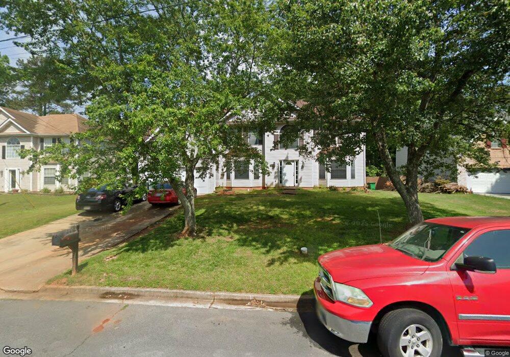
4762 Redbranch Dr Unit 1 Decatur, GA 30035
Southwest DeKalb NeighborhoodEstimated Value: $313,507 - $364,000
3
Beds
3
Baths
2,540
Sq Ft
$130/Sq Ft
Est. Value
About This Home
This home is located at 4762 Redbranch Dr Unit 1, Decatur, GA 30035 and is currently estimated at $330,127, approximately $129 per square foot. 4762 Redbranch Dr Unit 1 is a home located in DeKalb County with nearby schools including Canby Lane Elementary School, Mary McLeod Bethune Middle School, and Towers High School.
Ownership History
Date
Name
Owned For
Owner Type
Purchase Details
Closed on
Aug 26, 1998
Sold by
Hairston Dev Co Inc
Bought by
Perkins Tyrone A and Perkins Sheila S
Current Estimated Value
Home Financials for this Owner
Home Financials are based on the most recent Mortgage that was taken out on this home.
Original Mortgage
$126,150
Outstanding Balance
$26,409
Interest Rate
6.96%
Mortgage Type
FHA
Estimated Equity
$303,718
Create a Home Valuation Report for This Property
The Home Valuation Report is an in-depth analysis detailing your home's value as well as a comparison with similar homes in the area
Home Values in the Area
Average Home Value in this Area
Purchase History
| Date | Buyer | Sale Price | Title Company |
|---|---|---|---|
| Perkins Tyrone A | $131,900 | -- |
Source: Public Records
Mortgage History
| Date | Status | Borrower | Loan Amount |
|---|---|---|---|
| Open | Perkins Tyrone A | $126,150 |
Source: Public Records
Tax History Compared to Growth
Tax History
| Year | Tax Paid | Tax Assessment Tax Assessment Total Assessment is a certain percentage of the fair market value that is determined by local assessors to be the total taxable value of land and additions on the property. | Land | Improvement |
|---|---|---|---|---|
| 2025 | $3,426 | $120,160 | $14,400 | $105,760 |
| 2024 | $3,707 | $128,480 | $14,400 | $114,080 |
| 2023 | $3,707 | $119,440 | $10,800 | $108,640 |
| 2022 | $3,170 | $107,720 | $6,920 | $100,800 |
| 2021 | $2,602 | $83,080 | $6,920 | $76,160 |
| 2020 | $2,367 | $72,680 | $6,920 | $65,760 |
| 2019 | $2,140 | $64,080 | $6,920 | $57,160 |
| 2018 | $1,834 | $63,080 | $6,920 | $56,160 |
| 2017 | $2,089 | $60,520 | $6,920 | $53,600 |
| 2016 | $1,834 | $54,600 | $6,920 | $47,680 |
| 2014 | $1,795 | $53,760 | $6,920 | $46,840 |
Source: Public Records
Map
Nearby Homes
- 2065 Resting Creek Dr
- 2109 Creekview Trail
- 4827 Snap Creek Ln
- 4579 Tudor Castle Dr
- 2014 Manhattan Pkwy
- 4612 Grand Central Pkwy
- 4783 Creekside Place
- 4817 Hidden Creek Place Unit 2B
- 1830 Broadway St
- Pearson Plan at Young's Crossing
- 2180 Hidden Creek Dr
- 2428 Marsh Rabbit Bend
- 2183 Ramblewood Cir
- 4839 Plymouth Trace Unit 2
- 5181 Covington Hwy
- 5169 Covington Hwy
- 1923 Manhattan Pkwy Unit 183
- 5655 Covington Hwy
- 2064 Crossing Rd
- 2078 Moss Hill Rd
- 4752 Redbranch Dr Unit 1
- 4765 Redbranch Dr
- 4774 Redbranch Dr Unit 1
- 2098 Resting Creek Dr Unit III
- 4769 Redbranch Dr Unit I
- 4741 Redbranch Dr Unit 1
- 4775 Redbranch Dr Unit 1
- 4732 Redbranch Dr
- 2099 Resting Creek Dr Unit III
- 2092 Resting Creek Dr Unit III
- 2136 Waters Run Unit I
- 4722 Redbranch Dr
- 2144 Waters Run Unit 1
- 2085 Resting Creek Dr
- 2125 Waters Run
- 2082 Resting Creek Dr Unit 3
- 2154 Waters Run Unit 1
- 2075 Resting Creek Dr Unit III
- 2124 Hairston Creek Pkwy
- 2135 Waters Run