476289 E 1085 Rd Muldrow, OK 74948
Estimated Value: $26,690 - $213,000
Studio
--
Bath
--
Sq Ft
43,560
Sq Ft Lot
About This Home
This home is located at 476289 E 1085 Rd, Muldrow, OK 74948 and is currently estimated at $138,563. 476289 E 1085 Rd is a home located in Sequoyah County with nearby schools including Liberty Public School.
Ownership History
Date
Name
Owned For
Owner Type
Purchase Details
Closed on
Jun 6, 2007
Sold by
Keener Molly
Bought by
Johnson Joseph D and Johnson Amy L
Current Estimated Value
Purchase Details
Closed on
Jan 27, 2006
Sold by
Mcdaniel Joe T
Bought by
Johnson Joseph D and Johnson Amy L
Create a Home Valuation Report for This Property
The Home Valuation Report is an in-depth analysis detailing your home's value as well as a comparison with similar homes in the area
Purchase History
| Date | Buyer | Sale Price | Title Company |
|---|---|---|---|
| Johnson Joseph D | $15,000 | None Available | |
| Johnson Joseph D | $15,000 | None Available |
Source: Public Records
Tax History
| Year | Tax Paid | Tax Assessment Tax Assessment Total Assessment is a certain percentage of the fair market value that is determined by local assessors to be the total taxable value of land and additions on the property. | Land | Improvement |
|---|---|---|---|---|
| 2025 | $149 | $2,073 | $2,065 | $8 |
| 2024 | $149 | $1,975 | $1,967 | $8 |
| 2023 | $142 | $1,881 | $1,873 | $8 |
| 2022 | $129 | $1,791 | $1,784 | $7 |
| 2021 | $122 | $1,791 | $1,784 | $7 |
| 2020 | $117 | $1,625 | $1,618 | $7 |
| 2019 | $111 | $1,547 | $1,541 | $6 |
| 2018 | $106 | $1,474 | $1,467 | $7 |
| 2017 | $101 | $1,404 | $1,397 | $7 |
| 2016 | $96 | $1,337 | $1,330 | $7 |
| 2015 | $91 | $1,273 | $1,266 | $7 |
| 2014 | $87 | $1,213 | $1,205 | $8 |
Source: Public Records
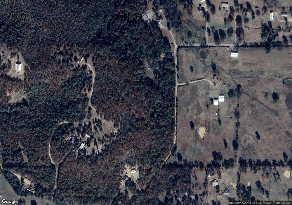
Map
Nearby Homes
- 108714 S 4767 Rd
- 477053 E 1085 Rd
- 476120 E 1091 Rd
- 476967 E 1090 Rd
- 108982 Hummingbird Ln
- 108962 Hummingbird Ln
- 109365 S 4749 Rd
- 0000 Cottonwood Rd
- 106438 S 4757 Rd
- 106219 S 4757 Rd
- 511 Mayfield Dr
- 910 James St
- 200 S Jeff Ln
- 505 Mayfield Dr
- 110907 S 4760 Rd
- 110662 S 4750 Rd
- 1505 Cherokee Rd
- 138 Stone Dr
- 407 W Ray Fine Blvd
- 101 Hollow Dr
- 111195 S 4759 Rd
- 111166 S 4759 Rd
- 105273 S 4757 Rd
- 108109 S 4759 Rd
- 476257 E 1085 Rd
- 476221 E 1085 Rd
- 476127 E 1084 Rd
- 475758 E 1083 Rd
- 108404 S 4762 Rd
- 108127 S 4760 Rd
- 0 E 1083 Rd Unit 1641441
- 0 E 1086 Rd Unit 1718230
- 476365 E 1085 Rd
- 108035 S 4760 Rd
- 476254 E 1085 Rd
- 476392 E 1085 Rd
- 107956 S 4767 Rd
- 1080 E E Rd
- 107934 S 4767 Rd
- 108267 S 4760 Rd
Your Personal Tour Guide
Ask me questions while you tour the home.