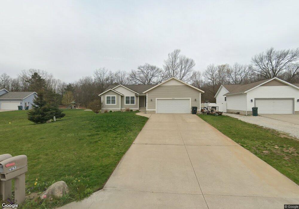
4763 Marshall Rd Norton Shores, MI 49441
Estimated Value: $336,945 - $419,000
3
Beds
2
Baths
1,716
Sq Ft
$220/Sq Ft
Est. Value
About This Home
This home is located at 4763 Marshall Rd, Norton Shores, MI 49441 and is currently estimated at $376,736, approximately $219 per square foot. 4763 Marshall Rd is a home located in Muskegon County with nearby schools including Mona Shores High School, Edgewood Elementary Academy, and Dr. Martin Luther King Academy.
Ownership History
Date
Name
Owned For
Owner Type
Purchase Details
Closed on
Jun 13, 2008
Sold by
Marshall Glen Properties Llc
Bought by
Sneller Chad M and Sneller Jana L
Current Estimated Value
Home Financials for this Owner
Home Financials are based on the most recent Mortgage that was taken out on this home.
Original Mortgage
$155,040
Outstanding Balance
$102,351
Interest Rate
6.04%
Mortgage Type
Unknown
Estimated Equity
$274,385
Create a Home Valuation Report for This Property
The Home Valuation Report is an in-depth analysis detailing your home's value as well as a comparison with similar homes in the area
Home Values in the Area
Average Home Value in this Area
Purchase History
| Date | Buyer | Sale Price | Title Company |
|---|---|---|---|
| Sneller Chad M | $29,900 | None Available |
Source: Public Records
Mortgage History
| Date | Status | Borrower | Loan Amount |
|---|---|---|---|
| Open | Sneller Chad M | $155,040 |
Source: Public Records
Tax History Compared to Growth
Tax History
| Year | Tax Paid | Tax Assessment Tax Assessment Total Assessment is a certain percentage of the fair market value that is determined by local assessors to be the total taxable value of land and additions on the property. | Land | Improvement |
|---|---|---|---|---|
| 2025 | $4,080 | $159,400 | $0 | $0 |
| 2024 | $3,199 | $153,900 | $0 | $0 |
| 2023 | $2,834 | $131,000 | $0 | $0 |
| 2022 | $3,231 | $105,200 | $0 | $0 |
| 2021 | $3,140 | $98,200 | $0 | $0 |
| 2020 | $3,105 | $92,600 | $0 | $0 |
| 2019 | $3,048 | $86,800 | $0 | $0 |
| 2018 | $2,976 | $79,000 | $0 | $0 |
| 2017 | $2,907 | $78,000 | $0 | $0 |
| 2016 | $2,251 | $72,800 | $0 | $0 |
| 2015 | -- | $71,200 | $0 | $0 |
| 2014 | $2,771 | $75,800 | $0 | $0 |
| 2013 | -- | $73,200 | $0 | $0 |
Source: Public Records
Map
Nearby Homes
- 1404 E Ellis Rd
- 4677 Harvey St
- 4769 Harvey St
- 4535 Thompson Rd
- 1065 Wilson Ct
- 1283 E Ellis Rd Unit 18
- 1283 E Ellis Rd Unit 20
- 1283 E Ellis Rd Unit 19
- 1283 E Ellis Rd Unit 21
- 4476 Cedar Ln Unit 54
- V/L 4535 Thompson Rd
- 1067 Aspen Dr
- 4468 Spruce Ct
- 4638 Lauren Dr
- 1130 Englewood Ave
- 945 Petrie Ave
- V/L E Ellis Rd
- 1454 Airport Rd
- 1068 Englewood Ave
- 4060 Buck St
- 4751 Marshall Rd
- 4743 Marshall Rd
- 4760 Marshall Rd
- 4792 Marshall Rd
- 4729 Marshall Rd
- 4738 Marshall Rd
- 4780 Marshall Rd
- 4715 Marshall Rd
- 4726 Marshall Rd Unit 21
- 4772 Marshall Rd
- 4788 Marshall Rd
- 4746 Marshall Rd
- 4714 Marshall Rd
- 4707 Marshall Rd Unit 7
- 4699 Marshall Rd Unit 6
- 4704 Marshall Rd
- 4694 Marshall Rd
- 4687 Marshall Rd
- 4682 Marshall Rd
- 4675 Marshall Rd