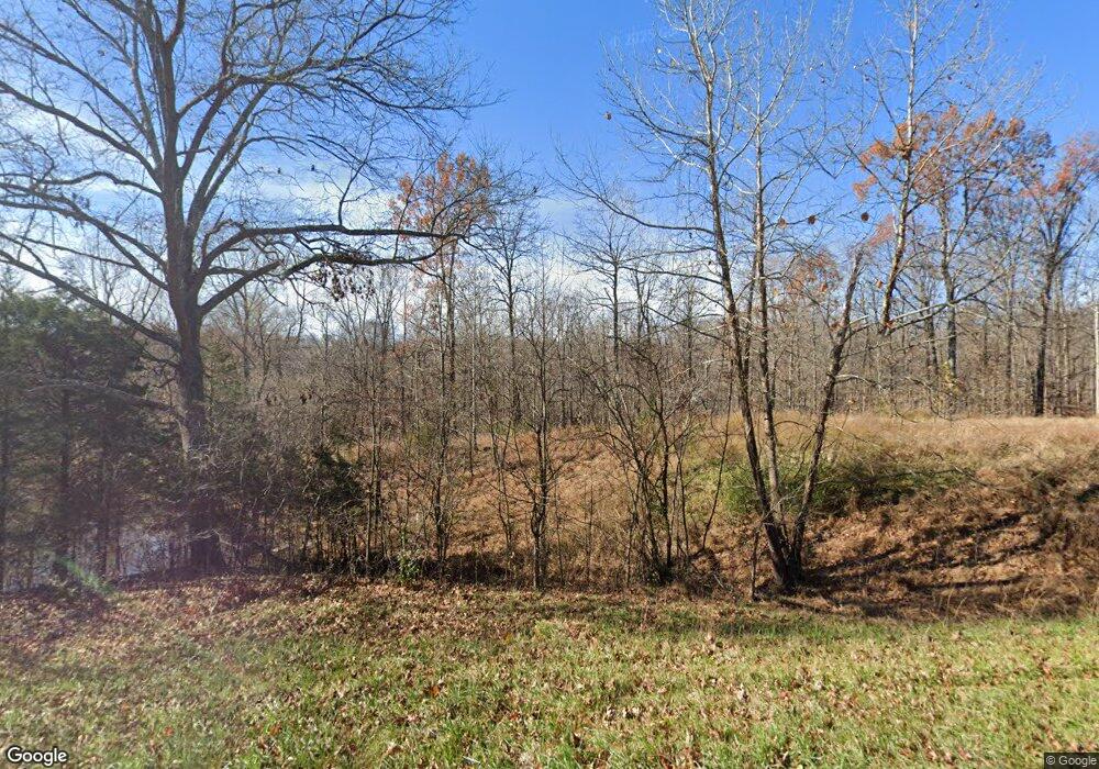
4763 State Route 127 N Cobden, IL 62920
Estimated Value: $623,000 - $683,000
2
Beds
2
Baths
2,016
Sq Ft
$324/Sq Ft
Est. Value
About This Home
This home is located at 4763 State Route 127 N, Cobden, IL 62920 and is currently estimated at $653,710, approximately $324 per square foot. 4763 State Route 127 N is a home with nearby schools including Cobden Elementary School and Cobden High School.
Ownership History
Date
Name
Owned For
Owner Type
Purchase Details
Closed on
Mar 1, 2021
Sold by
Curtis And Debra Welge Living Trust
Bought by
Grey Samuel and Grey Brandi
Current Estimated Value
Home Financials for this Owner
Home Financials are based on the most recent Mortgage that was taken out on this home.
Original Mortgage
$377,000
Outstanding Balance
$309,542
Interest Rate
2.8%
Mortgage Type
New Conventional
Estimated Equity
$344,168
Purchase Details
Closed on
Nov 3, 2018
Sold by
Welge Curtis D and Welge Debra K
Bought by
The Curtis And Debra Welge Living Trust
Purchase Details
Closed on
Nov 5, 2013
Sold by
Choate Jewel T
Bought by
Welge Curtis D and Welge Debra K
Create a Home Valuation Report for This Property
The Home Valuation Report is an in-depth analysis detailing your home's value as well as a comparison with similar homes in the area
Home Values in the Area
Average Home Value in this Area
Purchase History
| Date | Buyer | Sale Price | Title Company |
|---|---|---|---|
| Grey Samuel | $6,000 | None Listed On Document | |
| The Curtis And Debra Welge Living Trust | -- | None Available | |
| Welge Curtis D | $110,000 | -- |
Source: Public Records
Mortgage History
| Date | Status | Borrower | Loan Amount |
|---|---|---|---|
| Open | Grey Samuel | $377,000 |
Source: Public Records
Tax History Compared to Growth
Tax History
| Year | Tax Paid | Tax Assessment Tax Assessment Total Assessment is a certain percentage of the fair market value that is determined by local assessors to be the total taxable value of land and additions on the property. | Land | Improvement |
|---|---|---|---|---|
| 2024 | $4,209 | $85,030 | $15,330 | $69,700 |
| 2023 | $3,852 | $78,730 | $14,190 | $64,540 |
| 2022 | $3,878 | $72,892 | $13,136 | $59,756 |
| 2021 | $4,146 | $69,653 | $12,552 | $57,101 |
| 2020 | $4,138 | $69,653 | $12,552 | $57,101 |
| 2019 | $4,166 | $69,653 | $12,552 | $57,101 |
| 2018 | $4,055 | $69,653 | $12,552 | $57,101 |
| 2016 | $4,007 | $66,590 | $12,000 | $54,590 |
| 2015 | $13 | $12,000 | $12,000 | $0 |
| 2014 | $13 | $12,000 | $12,000 | $0 |
| 2013 | $13 | $320 | $320 | $0 |
Source: Public Records
Map
Nearby Homes
- 120 Main St
- 355 Chestnut St
- 535 Cass Ln
- 557 Twin Oaks Dr
- 0 Winstead Rd
- 545 State Route 127 N
- Kratzinger Hollow Rd Unit LotWP001
- 1325 Beech Grove Rd
- 000 Kratzinger Rd
- 2705 Cobden School Rd
- 564 Pleasant Ln
- 2090 Morgan School Rd
- 104 George St
- 2090 Morgan Ln
- 217 Apple Ln
- 210 Apple Ln
- 585 Berryville Rd
- 203 Plum St
- 121 Young Ave
- 524 N Main St
- 4763 Illinois 127
- 4855 State Rt 127 N
- 4615 State Route 127 N
- 100 Mount Tabor Cemetery Ln
- 4763 State Rt 127 N
- 5190 State Route 127 N
- 750 Tanner Ln
- 3070 Mountain Glen Rd
- 375 Brown Section Rd
- 3035 Aldridge Rd
- 2920 Mountain Glen Rd
- 560 Brown Section Rd
- 2745 Aldridge Rd
- 2675 Aldridge Rd
- 2760 Aldridge Rd
- 4685 Illinois 127
- 5500 State Route 127 N
- 5500 State Rt 127 N
- 475 Brown Section Rd
