4764 Highway 29 N Danielsville, GA 30633
Estimated Value: $527,000 - $734,145
8
Beds
6
Baths
5,996
Sq Ft
$105/Sq Ft
Est. Value
About This Home
This home is located at 4764 Highway 29 N, Danielsville, GA 30633 and is currently estimated at $632,536, approximately $105 per square foot. 4764 Highway 29 N is a home located in Madison County with nearby schools including Madison County High School.
Ownership History
Date
Name
Owned For
Owner Type
Purchase Details
Closed on
Feb 9, 2011
Sold by
Casper Tricia
Bought by
Georgia Transmission Corporation
Current Estimated Value
Purchase Details
Closed on
Apr 9, 2010
Sold by
Sorrow R E
Bought by
Casper Tricia and Dalton Heather
Purchase Details
Closed on
Jul 11, 1997
Sold by
Sorrow Dabney G & Sa
Bought by
Sorrow Sarah L
Purchase Details
Closed on
Jan 1, 1982
Bought by
Sorrow Dabney G & Sa
Create a Home Valuation Report for This Property
The Home Valuation Report is an in-depth analysis detailing your home's value as well as a comparison with similar homes in the area
Home Values in the Area
Average Home Value in this Area
Purchase History
| Date | Buyer | Sale Price | Title Company |
|---|---|---|---|
| Georgia Transmission Corporation | $600 | -- | |
| Casper Tricia | $285,000 | -- | |
| Sorrow Sarah L | -- | -- | |
| Sorrow Dabney G & Sa | -- | -- |
Source: Public Records
Tax History Compared to Growth
Tax History
| Year | Tax Paid | Tax Assessment Tax Assessment Total Assessment is a certain percentage of the fair market value that is determined by local assessors to be the total taxable value of land and additions on the property. | Land | Improvement |
|---|---|---|---|---|
| 2024 | $4,904 | $247,330 | $77,318 | $170,012 |
| 2023 | $4,148 | $236,614 | $77,318 | $159,296 |
| 2022 | $4,276 | $198,464 | $56,983 | $141,481 |
| 2021 | $3,571 | $147,441 | $40,222 | $107,219 |
| 2020 | $3,585 | $144,074 | $36,855 | $107,219 |
| 2019 | $3,549 | $141,909 | $36,855 | $105,054 |
| 2018 | $3,460 | $139,037 | $36,855 | $102,182 |
| 2017 | $3,973 | $137,993 | $36,433 | $101,560 |
| 2016 | $2,721 | $122,921 | $36,433 | $86,488 |
| 2015 | $2,713 | $122,921 | $36,433 | $86,488 |
| 2014 | $2,791 | $125,316 | $36,433 | $88,882 |
| 2013 | -- | $125,316 | $36,433 | $88,882 |
Source: Public Records
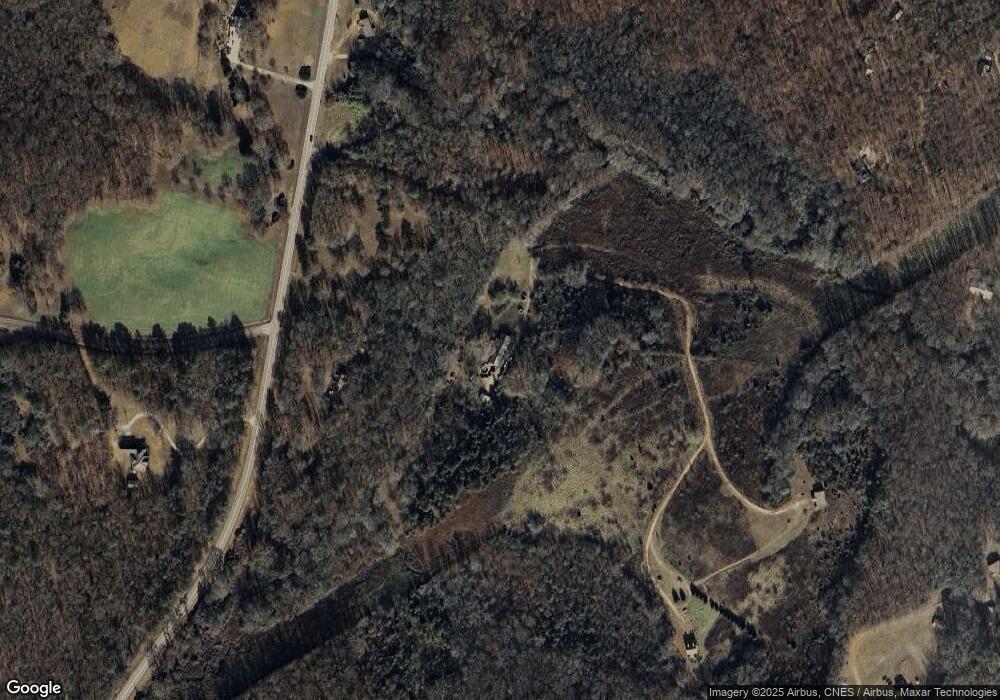
Map
Nearby Homes
- 795 E Jones Chapel Rd
- 0 Carey Ford Rd Unit 10495957
- 0 Carey-Ford Rd
- 0 Cedar Ln Unit 1026097
- 0 Cedar Ln Unit 10530523
- 107 Hill Lake Rd
- 450 Stagecoach Way
- 0 Georgia 191
- 1885 Highway 29 N
- 0 Hwy 29 N Unit 10574548
- 0 Hwy 29 N Unit CL335575
- 266 Water Oak Rd
- 00 Georgia 174 Unit 1
- 0 Irvin Kirk Rd
- 0 Dickson Dr Unit 416392
- 0 Dickson Dr Unit 7594620
- 0 Dickson Dr Unit 23800701
- 0 Dickson Dr Unit 10539867
- 0 Highway 29 N Unit 10525658
- 0 New Haven Church Rd Unit CL334534
- 4642 Highway 29 N
- 0 Highway 29n
- 4774 Highway 29n
- 4774 Hwy 29n
- 0 Mason Mill Rd Unit CM371793
- 0 Mason Mill Rd Unit 8006749
- 0 Mason Mill Rd Unit 8821928
- 0 Mason Mill Rd Unit 8851817
- 0 Mason Mill Rd Unit 3182150
- 0 Mason Mill Rd Unit 7192676
- 0 Mason Mill Rd Unit 8284933
- 4768 Highway 29 N
- 4836 Hwy 29n
- 4836 Highway 29 N
- 456 Mason Mill Rd
- 4815 Highway 29 N
- 573 Mason Mill Rd
- 452 Mason Mill Rd
- 4909 Highway 29 N
- 508 Mason Mill Rd