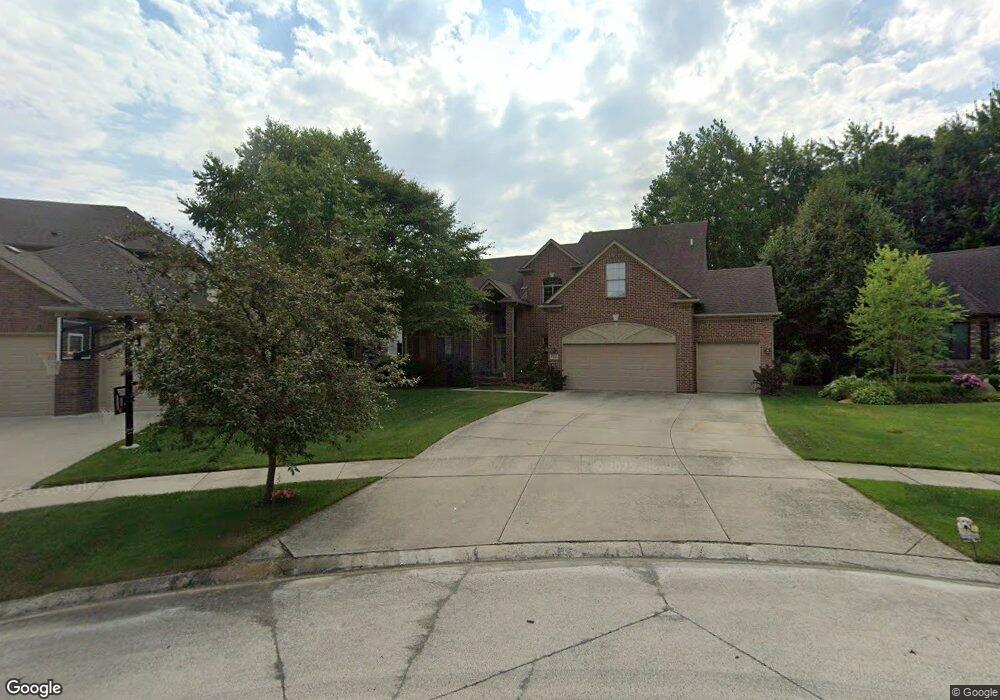
47644 Dloski Ct Unit 292 Macomb, MI 48044
Estimated Value: $507,000 - $624,000
Studio
3
Baths
3,260
Sq Ft
$179/Sq Ft
Est. Value
About This Home
This home is located at 47644 Dloski Ct Unit 292, Macomb, MI 48044 and is currently estimated at $582,151, approximately $178 per square foot. 47644 Dloski Ct Unit 292 is a home located in Macomb County with nearby schools including Atwood Elementary School, L'Anse Creuse Middle School - North, and L'Anse Creuse High School - North.
Ownership History
Date
Name
Owned For
Owner Type
Purchase Details
Closed on
Dec 20, 2007
Sold by
Rcm Land Developments Llc
Bought by
Snoddy Richard D and Snoddy Kristin K
Current Estimated Value
Purchase Details
Closed on
Oct 31, 2007
Sold by
Gtr Builders Inc
Bought by
American Heartland Home Builders Llc
Create a Home Valuation Report for This Property
The Home Valuation Report is an in-depth analysis detailing your home's value as well as a comparison with similar homes in the area
Home Values in the Area
Average Home Value in this Area
Purchase History
| Date | Buyer | Sale Price | Title Company |
|---|---|---|---|
| Snoddy Richard D | $95,000 | Greco | |
| Rcm Land Developments Llc | -- | Greco | |
| American Heartland Home Builders Llc | $85,000 | Greco |
Source: Public Records
Tax History
| Year | Tax Paid | Tax Assessment Tax Assessment Total Assessment is a certain percentage of the fair market value that is determined by local assessors to be the total taxable value of land and additions on the property. | Land | Improvement |
|---|---|---|---|---|
| 2025 | $4,752 | $282,500 | $0 | $0 |
| 2024 | $46 | $267,700 | $0 | $0 |
| 2023 | $4,382 | $227,600 | $0 | $0 |
| 2022 | $5,532 | $212,700 | $0 | $0 |
| 2021 | $5,384 | $205,100 | $0 | $0 |
| 2020 | $4,023 | $197,900 | $0 | $0 |
| 2019 | $4,968 | $190,400 | $0 | $0 |
| 2018 | $4,864 | $186,700 | $0 | $0 |
| 2017 | $5,054 | $181,270 | $37,500 | $143,770 |
| 2016 | $4,509 | $181,250 | $0 | $0 |
| 2015 | $4,462 | $171,480 | $0 | $0 |
| 2014 | $4,462 | $153,280 | $26,500 | $126,780 |
| 2011 | $861 | $156,740 | $23,500 | $133,240 |
Source: Public Records
Map
Nearby Homes
- 47376 Hidden Meadows Dr
- 22377 Massey Ln
- 47033 Woodberry Estates Dr
- 47400 Card Rd
- 47848 Card Rd
- 47846 North Ave
- 23206 21 Mile Rd
- 47338 Hunters Chase Dr
- 47848 Sonnett Dr
- 47140 Hunters Chase Dr
- 23346 Spring Creek Dr
- 44604 Bonapart
- 46828 Scotch Pine Ln
- 21310 Boquet Dr
- 21559 Waverly Dr
- 21258 Fairfield Dr
- 21254 Clayton Dr
- 21370 Carlton Dr
- 46856 Jewel Unit 8
- 46403 Le Grande Blvd
- 47618 Dloski Ct Unit 291
- 47607 Brennan Dr Unit 302
- 47607 Brennan Dr
- 47651 Brennan Dr
- 47617 Dloski Ct Unit 290
- 47670 Dloski Ct Unit Bldg-Unit
- 47696 Dloski Ct Unit 294
- 47670 Dloski Ct
- 47635 Brennan Dr Unit 301
- 47599 Brennan Dr Unit 303
- 47643 Dloski Ct Unit 289
- 47669 Dloski Ct
- 47669 Dloski Ct
- 22368 Beech Knoll Dr Unit 296
- 22368 Beech Knoll Dr
- 47699 Dloski Ct
- 22350 Beech Knoll Dr Unit 295
- 47573 Brennan Dr
- 47677 Brennan Dr Unit 298
- 22314 Beech Knoll Dr Unit 286
Your Personal Tour Guide
Ask me questions while you tour the home.