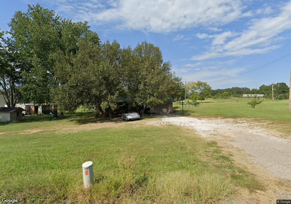
476545 E 1060 Rd Muldrow, OK 74948
Estimated Value: $119,000 - $173,000
2
Beds
1
Bath
908
Sq Ft
$160/Sq Ft
Est. Value
About This Home
This home is located at 476545 E 1060 Rd, Muldrow, OK 74948 and is currently estimated at $145,035, approximately $159 per square foot. 476545 E 1060 Rd is a home with nearby schools including Liberty Public School.
Ownership History
Date
Name
Owned For
Owner Type
Purchase Details
Closed on
Jun 1, 2022
Sold by
Henson Philip D and Henson Janice D
Bought by
Henson Philip D and Henson Janice D
Current Estimated Value
Purchase Details
Closed on
May 11, 2021
Sold by
Waddle Adam Duane
Bought by
Henson Matthew and Henson Misty
Home Financials for this Owner
Home Financials are based on the most recent Mortgage that was taken out on this home.
Original Mortgage
$85,000
Interest Rate
3.1%
Mortgage Type
Commercial
Purchase Details
Closed on
Oct 28, 2016
Sold by
Floyd Dale and Floyd Virginia
Bought by
Waddle Adam Duane
Home Financials for this Owner
Home Financials are based on the most recent Mortgage that was taken out on this home.
Original Mortgage
$85,858
Interest Rate
3.5%
Mortgage Type
New Conventional
Purchase Details
Closed on
Feb 23, 2007
Sold by
Karl John and Karl Kathy
Bought by
Floyd Dale
Create a Home Valuation Report for This Property
The Home Valuation Report is an in-depth analysis detailing your home's value as well as a comparison with similar homes in the area
Purchase History
| Date | Buyer | Sale Price | Title Company |
|---|---|---|---|
| Henson Philip D | -- | None Listed On Document | |
| Henson Matthew | $100,000 | Sca Title Llc | |
| Waddle Adam Duane | $85,000 | None Available | |
| Floyd Dale | -- | None Available |
Source: Public Records
Mortgage History
| Date | Status | Borrower | Loan Amount |
|---|---|---|---|
| Previous Owner | Henson Matthew | $85,000 | |
| Previous Owner | Waddle Adam Duane | $85,858 |
Source: Public Records
Tax History
| Year | Tax Paid | Tax Assessment Tax Assessment Total Assessment is a certain percentage of the fair market value that is determined by local assessors to be the total taxable value of land and additions on the property. | Land | Improvement |
|---|---|---|---|---|
| 2025 | $867 | $12,081 | $3,129 | $8,952 |
| 2024 | $867 | $11,506 | $1,892 | $9,614 |
| 2023 | $826 | $10,958 | $1,892 | $9,066 |
| 2022 | $790 | $11,000 | $1,892 | $9,108 |
| 2021 | $544 | $7,579 | $1,892 | $5,687 |
| 2020 | $544 | $7,579 | $1,892 | $5,687 |
| 2019 | $549 | $7,645 | $1,892 | $5,753 |
| 2018 | $560 | $7,799 | $1,892 | $5,907 |
| 2017 | $671 | $9,350 | $1,892 | $7,458 |
| 2016 | $504 | $7,019 | $1,747 | $5,272 |
| 2015 | $480 | $6,685 | $1,633 | $5,052 |
| 2014 | $457 | $6,367 | $1,540 | $4,827 |
Source: Public Records
Map
Nearby Homes
- 106219 S 4757 Rd
- TBD Tract 4 E 1070 Rd
- lOT 27 Woodland Hills
- 600 N Paw Rd
- TBD Tbd
- 600 Paw Rd
- 475531 E 1050 Rd
- TBD E 1045 Rd
- TBD S 4769 Rd
- 104178 S 4769 Rd
- 108714 S 4767 Rd
- 477053 E 1085 Rd
- 108663 S 4765 Rd
- 476967 E 1090 Rd
- 108982 Hummingbird Ln
- 108962 Hummingbird Ln
- 103891 Oklahoma 64b
- 476120 E 1091 Rd
- Lot 43 E 1028 Rd
- 109365 S 4749 Rd
- 476521 E 1060 Rd
- 476605 E 1060 Rd
- 476552 E 1060 Rd
- 476602 E 1060 Rd
- 476602 E 1060 Rd
- 476685 E 1060 Rd
- 476619 E 1060 Rd
- 476425 E 1060 Rd
- 476389 E 1060 Rd
- 476348 E 1060 Rd
- 476714 E 1060 Rd
- 476714 E 1060 Rd
- 106072 S 4765 Rd
- 106857 S 4767 Rd
- 106309 S 4765 Rd
- 106119 S 4765 Rd
- 476324 E 1060 Rd
- 105751 S 4764 Rd
- 106138 S 4765 Rd
- 476292 E 1060 Rd
Your Personal Tour Guide
Ask me questions while you tour the home.