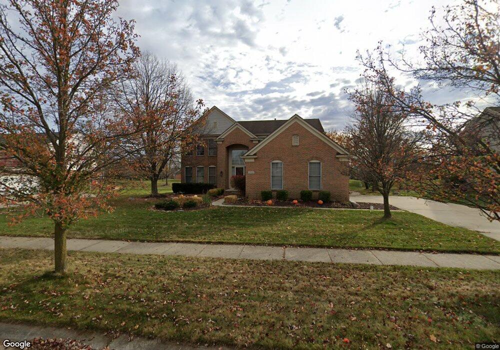
47659 Ashford Dr S Unit Bldg-Unit Canton, MI 48188
Estimated Value: $594,653 - $687,000
--
Bed
3
Baths
2,674
Sq Ft
$246/Sq Ft
Est. Value
About This Home
This home is located at 47659 Ashford Dr S Unit Bldg-Unit, Canton, MI 48188 and is currently estimated at $656,913, approximately $245 per square foot. 47659 Ashford Dr S Unit Bldg-Unit is a home located in Wayne County with nearby schools including Canton High School, Plymouth High School, and Salem High School.
Ownership History
Date
Name
Owned For
Owner Type
Purchase Details
Closed on
Jan 30, 2018
Sold by
Cottrell Stephen D and Cottrell Patricia J
Bought by
Pancnami Srinivasan
Current Estimated Value
Home Financials for this Owner
Home Financials are based on the most recent Mortgage that was taken out on this home.
Original Mortgage
$292,000
Interest Rate
4.22%
Mortgage Type
New Conventional
Create a Home Valuation Report for This Property
The Home Valuation Report is an in-depth analysis detailing your home's value as well as a comparison with similar homes in the area
Home Values in the Area
Average Home Value in this Area
Purchase History
| Date | Buyer | Sale Price | Title Company |
|---|---|---|---|
| Pancnami Srinivasan | $365,000 | Core Title Llc |
Source: Public Records
Mortgage History
| Date | Status | Borrower | Loan Amount |
|---|---|---|---|
| Previous Owner | Pancnami Srinivasan | $292,000 |
Source: Public Records
Tax History Compared to Growth
Tax History
| Year | Tax Paid | Tax Assessment Tax Assessment Total Assessment is a certain percentage of the fair market value that is determined by local assessors to be the total taxable value of land and additions on the property. | Land | Improvement |
|---|---|---|---|---|
| 2025 | $3,902 | $280,000 | $0 | $0 |
| 2024 | $3,902 | $254,100 | $0 | $0 |
| 2023 | $3,720 | $219,600 | $0 | $0 |
| 2022 | $8,014 | $200,400 | $0 | $0 |
| 2021 | $7,777 | $193,500 | $0 | $0 |
| 2020 | $7,685 | $190,400 | $0 | $0 |
| 2019 | $7,543 | $183,800 | $0 | $0 |
| 2018 | $2,736 | $181,570 | $0 | $0 |
| 2017 | $6,594 | $168,900 | $0 | $0 |
| 2016 | $5,945 | $174,800 | $0 | $0 |
| 2015 | $15,031 | $167,150 | $0 | $0 |
| 2013 | $14,562 | $156,930 | $0 | $0 |
| 2010 | -- | $136,590 | $65,000 | $71,590 |
Source: Public Records
Map
Nearby Homes
- 47671 Vistas Circle Dr N
- 47815 Vistas Circle Dr S
- 500 Belvedere Ct N
- 47631 Scenic Circle Dr N
- 1938 Scenic Dr
- 51026 Meadowlands
- 48416 Manhattan Cir
- 1564 Crowndale Ln
- 48581 Greenwich Cir
- 2381 Lexington Cir S
- 1861 Stonebridge Way
- 48859 Garden Ln
- 48030 Cherry Hill Rd
- 49276 Garden Ln
- 46948 Southgate Dr
- 49592 Garfield Ln Unit 178
- 300 E Canford Park Unit 30
- 241 Country Club Ln
- 2498 Cleveland Way
- 2304 Cleveland Way
- 47659 Ashford Dr S
- 47643 Ashford Dr S
- 47675 Ashford Dr S
- 47691 Ashford Dr S
- 47627 Ashford Dr S
- 47658 Ashford Dr S
- 47674 Ashford Dr S
- 47642 Ashford Dr S
- 47690 Ashford Dr S
- 47611 Ashford Dr S
- 47626 Ashford Dr S
- 47707 Ashford Dr S
- 47657 Glengarry Blvd
- 47641 Glengarry Blvd
- 47673 Glengarry Blvd
- 577 Torrington Dr W
- 47610 Ashford Dr S
- 47625 Glengarry Blvd
- 47700 N Vistas Cir
- 47595 Ashford Dr S