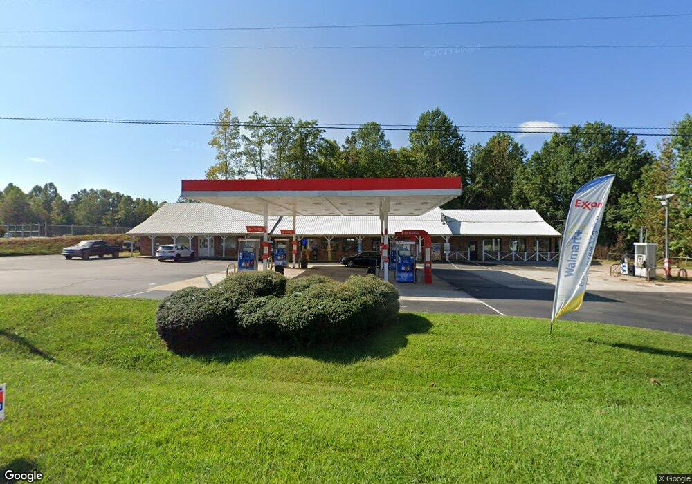
4766 Highway 52 E Dahlonega, GA 30533
Estimated Value: $754,976
--
Bed
1
Bath
5,336
Sq Ft
$141/Sq Ft
Est. Value
About This Home
This home is located at 4766 Highway 52 E, Dahlonega, GA 30533 and is currently estimated at $754,976, approximately $141 per square foot. 4766 Highway 52 E is a home located in Lumpkin County with nearby schools including Clay County Middle School and Lumpkin County High School.
Ownership History
Date
Name
Owned For
Owner Type
Purchase Details
Closed on
Jul 7, 2016
Bought by
Our Mothers Inc
Current Estimated Value
Purchase Details
Closed on
Nov 13, 2014
Sold by
Clifford Cox
Bought by
Kosish Inc
Home Financials for this Owner
Home Financials are based on the most recent Mortgage that was taken out on this home.
Original Mortgage
$245,000
Interest Rate
4%
Mortgage Type
Commercial
Purchase Details
Closed on
Mar 21, 2007
Sold by
Not Provided
Bought by
Cox Clifford
Create a Home Valuation Report for This Property
The Home Valuation Report is an in-depth analysis detailing your home's value as well as a comparison with similar homes in the area
Home Values in the Area
Average Home Value in this Area
Purchase History
| Date | Buyer | Sale Price | Title Company |
|---|---|---|---|
| Our Mothers Inc | $350,000 | -- | |
| Kosish Inc | $350,000 | -- | |
| Cox Clifford | -- | -- |
Source: Public Records
Mortgage History
| Date | Status | Borrower | Loan Amount |
|---|---|---|---|
| Previous Owner | Kosish Inc | $245,000 |
Source: Public Records
Tax History Compared to Growth
Tax History
| Year | Tax Paid | Tax Assessment Tax Assessment Total Assessment is a certain percentage of the fair market value that is determined by local assessors to be the total taxable value of land and additions on the property. | Land | Improvement |
|---|---|---|---|---|
| 2024 | $5,416 | $230,241 | $40,000 | $190,241 |
| 2023 | $5,416 | $230,241 | $40,000 | $190,241 |
| 2022 | $3,359 | $135,689 | $40,000 | $95,689 |
| 2021 | $3,267 | $127,612 | $40,000 | $87,612 |
| 2020 | $3,366 | $127,612 | $40,000 | $87,612 |
| 2019 | $3,397 | $127,612 | $40,000 | $87,612 |
| 2018 | $3,620 | $127,612 | $40,000 | $87,612 |
Source: Public Records
Map
Nearby Homes
- 87 Tolleffs Trail
- 128 Young Deer Dr
- 0 Bearden Rd Unit 10598024
- 0 Bearden Rd Unit 7642996
- 1228 Winters Mountain Rd
- 296 Norman Bell Rd
- 202 Indian Trail
- 300 Mountain Ridge Dr
- 962 Winters Mountain Rd
- 83 Austin Ct
- 0 Arborwood Dr Unit 10645890
- 0 Winters Mountain Rd Unit 7681054
- 0 Winters Mountain Rd Unit 10643431
- 94 King Arthur Ct
- 380 Copper Mill Rd
- 6480 Highway 52 W
- 0 Gold View Dr
- 238 Sunrise Trail
- 496 Beaver Dam Rd
- 50 Raintree Dr
- 4768 Georgia 52
- 4690 Georgia 52
- 3780 Long Branch Rd
- 4835 Highway 52 E
- 4850 Highway 52 E Unit 3-5
- 4850 Highway 52 E
- 4920 Highway 52 E
- 4918 Georgia 52
- 4918 Highway 52 E
- 4934 Highway 52 E
- 95 Sugarplum Ln
- 4931 Highway 52 E
- 0 Lewis Brown Dr Unit 4311475
- 4941 Highway 52 E
- 137 Sugarplum Ln
- 0 Highway 52 E Unit 23462283
- 0 Highway 52 E Unit 22014461
- 0 Highway 52 E Unit 10388217
- 0 Highway 52 E Unit 7465256