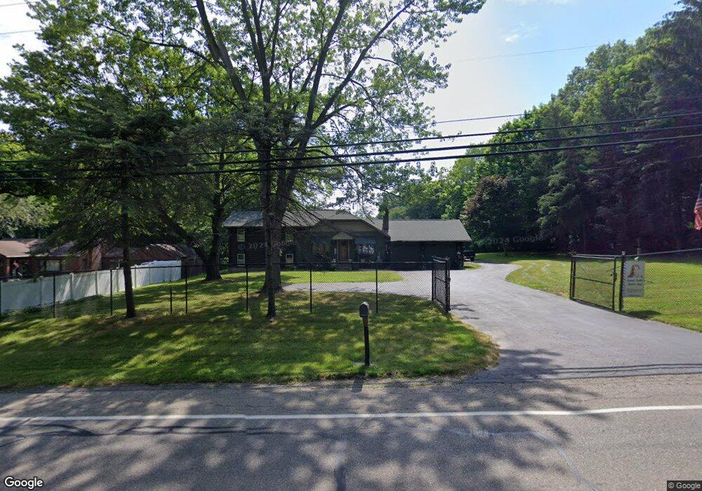
4767 Manchester Rd New Franklin, OH 44319
Estimated Value: $252,000 - $284,000
2
Beds
2
Baths
2,197
Sq Ft
$124/Sq Ft
Est. Value
About This Home
This home is located at 4767 Manchester Rd, New Franklin, OH 44319 and is currently estimated at $272,014, approximately $123 per square foot. 4767 Manchester Rd is a home located in Summit County with nearby schools including Nolley Elementary School, Manchester Middle School, and Manchester High School.
Ownership History
Date
Name
Owned For
Owner Type
Purchase Details
Closed on
Jul 12, 2010
Sold by
Smith Robert D
Bought by
Smith Robert D and Smith Jeanne M
Current Estimated Value
Home Financials for this Owner
Home Financials are based on the most recent Mortgage that was taken out on this home.
Original Mortgage
$63,000
Interest Rate
4.83%
Mortgage Type
New Conventional
Purchase Details
Closed on
Sep 22, 1994
Sold by
Mitchin Robert P
Bought by
Dudgeon Paul S and Dudgeon Marsha L
Home Financials for this Owner
Home Financials are based on the most recent Mortgage that was taken out on this home.
Original Mortgage
$92,200
Interest Rate
7%
Mortgage Type
New Conventional
Create a Home Valuation Report for This Property
The Home Valuation Report is an in-depth analysis detailing your home's value as well as a comparison with similar homes in the area
Home Values in the Area
Average Home Value in this Area
Purchase History
| Date | Buyer | Sale Price | Title Company |
|---|---|---|---|
| Smith Robert D | -- | Attorney | |
| Dudgeon Paul S | $108,500 | -- |
Source: Public Records
Mortgage History
| Date | Status | Borrower | Loan Amount |
|---|---|---|---|
| Closed | Smith Robert D | $63,000 | |
| Closed | Dudgeon Paul S | $92,200 |
Source: Public Records
Tax History Compared to Growth
Tax History
| Year | Tax Paid | Tax Assessment Tax Assessment Total Assessment is a certain percentage of the fair market value that is determined by local assessors to be the total taxable value of land and additions on the property. | Land | Improvement |
|---|---|---|---|---|
| 2025 | $3,360 | $76,290 | $15,194 | $61,096 |
| 2024 | $3,360 | $76,290 | $15,194 | $61,096 |
| 2023 | $3,360 | $76,290 | $15,194 | $61,096 |
| 2022 | $3,772 | $58,720 | $11,340 | $47,380 |
| 2021 | $3,785 | $58,720 | $11,340 | $47,380 |
| 2020 | $3,720 | $58,720 | $11,340 | $47,380 |
| 2019 | $3,565 | $50,400 | $11,790 | $38,610 |
| 2018 | $3,077 | $50,400 | $11,790 | $38,610 |
| 2017 | $3,062 | $50,400 | $11,790 | $38,610 |
| 2016 | $3,026 | $45,430 | $10,550 | $34,880 |
| 2015 | $3,062 | $45,430 | $10,550 | $34,880 |
| 2014 | $3,039 | $45,430 | $10,550 | $34,880 |
| 2013 | $3,191 | $48,010 | $10,550 | $37,460 |
Source: Public Records
Map
Nearby Homes
- 4698 Manchester Rd
- 1365 Vanderhoof Rd
- 1343 Vermillion Dr
- 0 W Turkeyfoot Lake Rd Unit 5157637
- 4393 Hilltop Dr
- 4216 State Rd
- 4034 Manchester Rd
- 538 Melcher Ave
- 4944 Coleman Dr
- 4869 Coleman Dr
- 4131 State Park Dr
- 1742 Turkeyfoot Lake Rd
- 410 Silk Ct
- 4119 Melton Ave
- 855 Fowler Ave
- 3826 Powell Ave
- 715 Jolson Ave
- lot 8 Whyem Dr
- 3738 Random Dr
- 834 State Mill Rd
- 4783 Manchester Rd
- 4755 Manchester Rd
- 1134 Swigart Rd
- 1134 Swigart Rd
- 4752 Manchester Rd
- 4797 Manchester Rd
- 1108 Swigart Rd
- 4786 Manchester Rd
- 4740 Manchester Rd
- 4723 Manchester Rd
- 4805 Manchester Rd
- 4798 Manchester Rd
- 1088 Swigart Rd
- 1101 Swigart Rd
- 1099 Swigart Rd
- 1155 Swigart Rd
- 4713 Manchester Rd
- 1151 Swigart Rd Unit 1155
- 4774 Manchester Rd
- 4809 Manchester Rd