4767 Safford Rd Gainesville, NY 14066
Estimated Value: $206,000 - $298,000
3
Beds
2
Baths
1,729
Sq Ft
$140/Sq Ft
Est. Value
About This Home
This home is located at 4767 Safford Rd, Gainesville, NY 14066 and is currently estimated at $242,261, approximately $140 per square foot. 4767 Safford Rd is a home located in Wyoming County with nearby schools including Letchworth Elementary School, Letchworth Middle School, and Letchworth Senior High School.
Ownership History
Date
Name
Owned For
Owner Type
Purchase Details
Closed on
Sep 27, 2011
Sold by
Mcelver Robert
Bought by
Mcelver Robert
Current Estimated Value
Purchase Details
Closed on
Jun 22, 1998
Create a Home Valuation Report for This Property
The Home Valuation Report is an in-depth analysis detailing your home's value as well as a comparison with similar homes in the area
Home Values in the Area
Average Home Value in this Area
Purchase History
| Date | Buyer | Sale Price | Title Company |
|---|---|---|---|
| Mcelver Robert | -- | Brian Degnan | |
| -- | -- | -- |
Source: Public Records
Tax History Compared to Growth
Tax History
| Year | Tax Paid | Tax Assessment Tax Assessment Total Assessment is a certain percentage of the fair market value that is determined by local assessors to be the total taxable value of land and additions on the property. | Land | Improvement |
|---|---|---|---|---|
| 2024 | $4,027 | $170,000 | $24,400 | $145,600 |
| 2023 | $4,826 | $170,000 | $24,400 | $145,600 |
| 2022 | $3,697 | $107,000 | $20,200 | $86,800 |
| 2021 | $3,664 | $107,000 | $20,200 | $86,800 |
| 2020 | $3,367 | $107,000 | $20,200 | $86,800 |
| 2019 | $3,440 | $107,000 | $20,200 | $86,800 |
| 2018 | $3,440 | $107,000 | $20,200 | $86,800 |
| 2017 | $3,422 | $107,000 | $20,200 | $86,800 |
| 2016 | $3,305 | $107,000 | $20,200 | $86,800 |
Source: Public Records
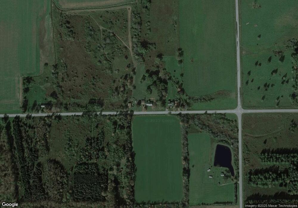
Map
Nearby Homes
- 0 Vl Route 39 Unit LotWP001
- 4588 New York 39
- 6619 Hardys Rd
- 73 N Water St
- 47 E Main St
- 4974 School St
- 4191 Route 39
- 7468 Albro Rd
- 7396 Albro Rd
- 7724 Banks Rd
- 7690 Banks Rd
- 7690 Banks Rd
- 11991 New York 19
- 11991 State Route 19
- 3919 Wing St
- 3484 Route 39
- 16 East St
- 0 New York 39
- VL Trall Rd Unit WEST
- VL Trall Rd Unit EAST
- 4769 Safford Rd
- 4757 Safford Rd
- 4730 Safford Rd
- 4723 Safford Rd
- 6757 Campbell Rd
- 6526 Campbell Rd
- 6525 Campbell Rd
- 6500 Campbell Rd
- 4689 Route 39
- 6852 Campbell Rd
- 4643 Safford Rd
- 6864 Campbell Rd
- 5030 Safford Rd
- 4697 Route 39
- 6450 Campbell Rd
- 6902 Campbell Rd
- 6446 Campbell Rd
- 0 Route 39 Unit B432050
- 0 Route 39 Unit B1290563
- 6874 Albro Rd