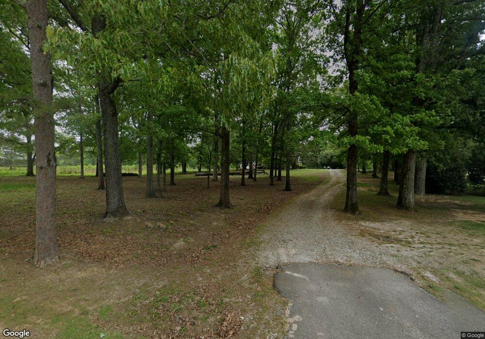
4769 Lone Oak Rd Lone Oak, GA 30220
Estimated Value: $296,000 - $559,991
3
Beds
2
Baths
2,185
Sq Ft
$185/Sq Ft
Est. Value
About This Home
This home is located at 4769 Lone Oak Rd, Lone Oak, GA 30220 and is currently estimated at $404,748, approximately $185 per square foot. 4769 Lone Oak Rd is a home located in Meriwether County with nearby schools including Unity Elementary School.
Ownership History
Date
Name
Owned For
Owner Type
Purchase Details
Closed on
Aug 27, 2020
Sold by
Thurston Van
Bought by
Leeland Lanier Llc
Current Estimated Value
Purchase Details
Closed on
Aug 21, 2019
Sold by
Thurston Van Albert
Bought by
Vanthurston and Van Thurston Sr Rev Trust
Purchase Details
Closed on
Nov 7, 2012
Sold by
Thurston Janet Lee
Bought by
Thurston Van Albert
Purchase Details
Closed on
Jan 15, 1992
Sold by
Lee Zachery W
Bought by
Thurston Janet Lee
Purchase Details
Closed on
Jul 3, 1952
Sold by
Lee Lizzie W
Bought by
Lee Zachery W
Purchase Details
Closed on
Jan 1, 1951
Bought by
Lee Lizzie W
Create a Home Valuation Report for This Property
The Home Valuation Report is an in-depth analysis detailing your home's value as well as a comparison with similar homes in the area
Home Values in the Area
Average Home Value in this Area
Purchase History
| Date | Buyer | Sale Price | Title Company |
|---|---|---|---|
| Leeland Lanier Llc | $350,000 | -- | |
| Vanthurston | -- | -- | |
| Thurston Van Albert | -- | -- | |
| Thurston Janet Lee | -- | -- | |
| Lee Zachery W | -- | -- | |
| Lee Lizzie W | -- | -- |
Source: Public Records
Tax History Compared to Growth
Tax History
| Year | Tax Paid | Tax Assessment Tax Assessment Total Assessment is a certain percentage of the fair market value that is determined by local assessors to be the total taxable value of land and additions on the property. | Land | Improvement |
|---|---|---|---|---|
| 2024 | $2,448 | $156,268 | $104,280 | $51,988 |
| 2023 | $1,812 | $136,628 | $104,280 | $32,348 |
| 2022 | $1,797 | $136,628 | $104,280 | $32,348 |
| 2021 | $3,545 | $136,628 | $104,280 | $32,348 |
| 2020 | $4,896 | $131,868 | $104,640 | $27,228 |
| 2019 | $4,890 | $131,348 | $104,640 | $26,708 |
| 2018 | $1,699 | $131,348 | $104,640 | $26,708 |
| 2017 | $1,697 | $131,348 | $104,640 | $26,708 |
| 2016 | $1,533 | $131,348 | $104,640 | $26,708 |
| 2015 | $1,517 | $131,348 | $104,640 | $26,708 |
| 2014 | $1,500 | $131,348 | $104,640 | $26,708 |
| 2013 | -- | $131,348 | $104,640 | $26,708 |
Source: Public Records
Map
Nearby Homes
- 7133 Forrest Rd
- 8444 Forrest Rd
- 5151 Primrose Rd
- 1314 Tenny Nelson Rd
- 95 Esther Dr
- 2860 Sewell Rd
- 104 Park View Dr
- 659 Park Pine Cir
- 1530 Goldmine Rd
- 516 Tenney Nelson Rd
- The Northern Hills Plan at Shallow Valley
- The Millie Plan at Shallow Valley
- The Bradford Plan at Shallow Valley
- The Forsythe Plan at Shallow Valley
- The Coleman Plan at Shallow Valley
- 156 Charlie Fuller Rd Unit LOT 7
- 130 Charlie Fuller Rd Unit LOT 6
- 38 Charlie Fuller Rd Unit LOT 2
- 54 Charlie Fuller Rd Unit LOT 3
- 2201 Charlie Fuller Rd Unit LOT 5
- 4797 Lone Oak Rd
- 4843 Lone Oak Rd
- 4848 Lone Oak Rd
- 4899 Lone Oak Rd
- 4900 Lone Oak Rd
- 4957 Lone Oak Rd
- 0 Highway 54 Unit 7042820
- 0 Highway 54 Unit 7178000
- 0 Highway 54 Unit 9013055
- 0 Highway 54 Unit 8114039
- 0 Highway 54 Unit 8115243
- 0 Highway 54 Unit 8352107
- 0 Highway 54 Unit 8352104
- 0 Highway 54 Unit 8911617
- 0 Highway 54 Unit 8712785
- 4768 Lone Oak Rd
- 4979 Lone Oak Rd
- 4993 Lone Oak Rd
- 7386 Forrest Rd
- 7480 Forrest Rd