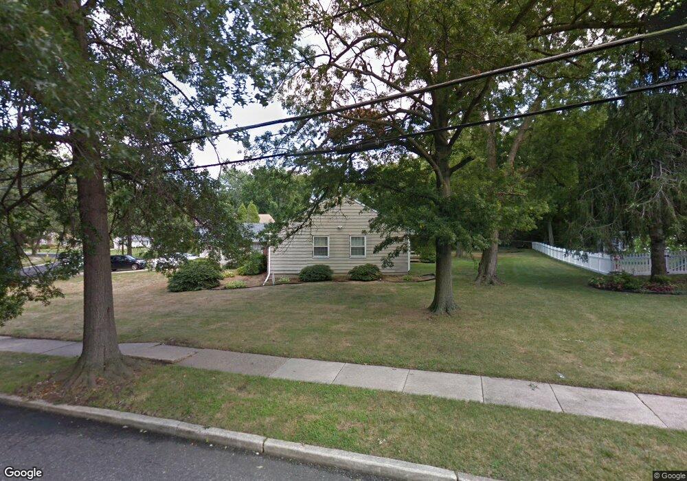
477 Covered Bridge Rd Cherry Hill, NJ 08034
Estimated Value: $374,103 - $546,000
Studio
--
Bath
1,612
Sq Ft
$301/Sq Ft
Est. Value
About This Home
This home is located at 477 Covered Bridge Rd, Cherry Hill, NJ 08034 and is currently estimated at $485,026, approximately $300 per square foot. 477 Covered Bridge Rd is a home located in Camden County with nearby schools including A. Russell Knight Elementary School, John A Carusi Middle School, and Cherry Hill High-West High School.
Ownership History
Date
Name
Owned For
Owner Type
Purchase Details
Closed on
Sep 25, 1998
Sold by
Azar Todd R
Bought by
Deluca Thomas A and Feyas Mary Anne
Current Estimated Value
Home Financials for this Owner
Home Financials are based on the most recent Mortgage that was taken out on this home.
Original Mortgage
$100,000
Outstanding Balance
$21,932
Interest Rate
6.92%
Estimated Equity
$463,094
Create a Home Valuation Report for This Property
The Home Valuation Report is an in-depth analysis detailing your home's value as well as a comparison with similar homes in the area
Home Values in the Area
Average Home Value in this Area
Purchase History
| Date | Buyer | Sale Price | Title Company |
|---|---|---|---|
| Deluca Thomas A | $150,000 | -- |
Source: Public Records
Mortgage History
| Date | Status | Borrower | Loan Amount |
|---|---|---|---|
| Open | Deluca Thomas A | $100,000 |
Source: Public Records
Tax History
| Year | Tax Paid | Tax Assessment Tax Assessment Total Assessment is a certain percentage of the fair market value that is determined by local assessors to be the total taxable value of land and additions on the property. | Land | Improvement |
|---|---|---|---|---|
| 2025 | $9,087 | $203,800 | $70,800 | $133,000 |
| 2024 | $8,564 | $203,800 | $70,800 | $133,000 |
| 2023 | $8,564 | $203,800 | $70,800 | $133,000 |
| 2022 | $8,327 | $203,800 | $70,800 | $133,000 |
| 2021 | $8,354 | $203,800 | $70,800 | $133,000 |
| 2020 | $8,252 | $203,800 | $70,800 | $133,000 |
| 2019 | $8,248 | $203,800 | $70,800 | $133,000 |
| 2018 | $8,225 | $203,800 | $70,800 | $133,000 |
| 2017 | $8,113 | $203,800 | $70,800 | $133,000 |
| 2016 | $8,005 | $203,800 | $70,800 | $133,000 |
| 2015 | $7,879 | $203,800 | $70,800 | $133,000 |
| 2014 | $7,791 | $203,800 | $70,800 | $133,000 |
Source: Public Records
Map
Nearby Homes
- 1023 Red Oak Dr
- 113 White Oak Rd
- 418 Sherry Way
- 333 Covered Bridge Rd
- 21 Teak Ct
- 121 Europa Blvd
- 803 Kresson Rd
- 324 Tuvira Ln
- 116 Pine Valley Rd
- 116 Fox Chase Ln
- 371 Kresson Rd
- 115 Courtland Rd
- 1121 Winding Dr
- 32 Imperial Dr
- 7 Cameo Ct
- 2 Collage Ct
- 1840 Frontage Rd Unit 1004
- 1840 Frontage Rd Unit 1103
- 124 Edison Rd
- 302 Provincetown Rd
- 481 Covered Bridge Rd
- 451 Burning Tree Rd
- 473 Covered Bridge Rd
- 485 Covered Bridge Rd
- 480 Covered Bridge Rd
- 447 Burning Tree Rd
- 476 Covered Bridge Rd
- 484 Covered Bridge Rd
- 440 Burning Tree Rd
- 501 Covered Bridge Rd
- 472 Covered Bridge Rd
- 469 Covered Bridge Rd
- 443 Burning Tree Rd
- 1235 Black Baron Dr
- 505 Covered Bridge Rd
- 436 Burning Tree Rd
- 468 Covered Bridge Rd
- 1225 Black Baron Dr
- 500 Covered Bridge Rd
- 465 Covered Bridge Rd
Your Personal Tour Guide
Ask me questions while you tour the home.