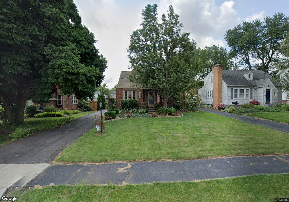
477 Forest St Mansfield, OH 44903
Estimated Value: $134,524 - $145,000
3
Beds
1
Bath
1,120
Sq Ft
$125/Sq Ft
Est. Value
About This Home
This home is located at 477 Forest St, Mansfield, OH 44903 and is currently estimated at $139,631, approximately $124 per square foot. 477 Forest St is a home located in Richland County with nearby schools including Discovery School, St. Peter's Elementary/Montessori School, and St. Peter's Junior High / High School.
Ownership History
Date
Name
Owned For
Owner Type
Purchase Details
Closed on
Jun 28, 2001
Sold by
Bushong William L
Bought by
Henry Michael O
Current Estimated Value
Home Financials for this Owner
Home Financials are based on the most recent Mortgage that was taken out on this home.
Original Mortgage
$78,300
Outstanding Balance
$30,262
Interest Rate
7.18%
Mortgage Type
New Conventional
Estimated Equity
$109,369
Purchase Details
Closed on
Aug 17, 1994
Sold by
Henry James L
Bought by
Bushong William L and Bushong Lisa A
Home Financials for this Owner
Home Financials are based on the most recent Mortgage that was taken out on this home.
Original Mortgage
$64,000
Interest Rate
7.99%
Mortgage Type
New Conventional
Purchase Details
Closed on
Apr 16, 1990
Create a Home Valuation Report for This Property
The Home Valuation Report is an in-depth analysis detailing your home's value as well as a comparison with similar homes in the area
Home Values in the Area
Average Home Value in this Area
Purchase History
| Date | Buyer | Sale Price | Title Company |
|---|---|---|---|
| Henry Michael O | $87,000 | -- | |
| Bushong William L | $74,000 | -- | |
| -- | $48,500 | -- |
Source: Public Records
Mortgage History
| Date | Status | Borrower | Loan Amount |
|---|---|---|---|
| Open | Henry Michael O | $78,300 | |
| Previous Owner | Bushong William L | $64,000 |
Source: Public Records
Tax History
| Year | Tax Paid | Tax Assessment Tax Assessment Total Assessment is a certain percentage of the fair market value that is determined by local assessors to be the total taxable value of land and additions on the property. | Land | Improvement |
|---|---|---|---|---|
| 2024 | $913 | $30,340 | $4,250 | $26,090 |
| 2023 | $962 | $30,340 | $4,250 | $26,090 |
| 2022 | $771 | $22,550 | $3,640 | $18,910 |
| 2021 | $776 | $22,550 | $3,640 | $18,910 |
| 2020 | $794 | $22,550 | $3,640 | $18,910 |
| 2019 | $880 | $22,550 | $3,640 | $18,910 |
| 2018 | $868 | $22,550 | $3,640 | $18,910 |
| 2017 | $875 | $22,550 | $3,640 | $18,910 |
| 2016 | $905 | $23,090 | $5,020 | $18,070 |
| 2015 | $864 | $23,090 | $5,020 | $18,070 |
| 2014 | $853 | $23,090 | $5,020 | $18,070 |
| 2012 | $551 | $24,300 | $5,280 | $19,020 |
Source: Public Records
Map
Nearby Homes
- 455 Marion Ave
- 616 Cline Ave
- 487 Davey Ave
- 282 Vennum Ave
- 341 Townview Cir N
- 679 Coleman Rd
- 310 Townview Cir N
- 189 Westwood Ave
- 158 Vennum Ave
- 133 Stewart Ave S
- 116 Stewart Ave S
- 108 Stewart Ave S
- 0 Cline Ave Hedeen Abbeyfeale Unit 9066362
- 119 Carpenter Rd
- 456 Lexington Ave
- 466 Lexington Ave
- 470 Lexington Ave
- 135 Wood St
- 695 S Andover Rd
- 151 Grover St
Your Personal Tour Guide
Ask me questions while you tour the home.