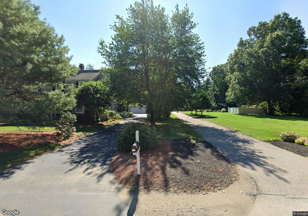
477 Franklin St Wrentham, MA 02093
Estimated Value: $1,050,271 - $1,642,000
2
Beds
5
Baths
3,167
Sq Ft
$410/Sq Ft
Est. Value
About This Home
This home is located at 477 Franklin St, Wrentham, MA 02093 and is currently estimated at $1,298,818, approximately $410 per square foot. 477 Franklin St is a home located in Norfolk County with nearby schools including Delaney Elementary School and Charles E Roderick.
Ownership History
Date
Name
Owned For
Owner Type
Purchase Details
Closed on
Jun 1, 1988
Sold by
Bailey Robert M
Bought by
Fisher Donald E
Current Estimated Value
Create a Home Valuation Report for This Property
The Home Valuation Report is an in-depth analysis detailing your home's value as well as a comparison with similar homes in the area
Home Values in the Area
Average Home Value in this Area
Purchase History
| Date | Buyer | Sale Price | Title Company |
|---|---|---|---|
| Fisher Donald E | $315,000 | -- |
Source: Public Records
Mortgage History
| Date | Status | Borrower | Loan Amount |
|---|---|---|---|
| Open | Fisher Donald E | $321,000 | |
| Closed | Fisher Donald E | $70,000 | |
| Closed | Fisher Donald E | $377,000 |
Source: Public Records
Tax History Compared to Growth
Tax History
| Year | Tax Paid | Tax Assessment Tax Assessment Total Assessment is a certain percentage of the fair market value that is determined by local assessors to be the total taxable value of land and additions on the property. | Land | Improvement |
|---|---|---|---|---|
| 2025 | $11,868 | $1,024,000 | $550,100 | $473,900 |
| 2024 | $12,100 | $1,008,300 | $550,100 | $458,200 |
| 2023 | $12,265 | $971,900 | $500,000 | $471,900 |
| 2022 | $10,530 | $770,300 | $443,500 | $326,800 |
| 2021 | $10,976 | $780,100 | $393,800 | $386,300 |
| 2020 | $11,148 | $782,300 | $429,300 | $353,000 |
| 2019 | $11,759 | $832,800 | $462,300 | $370,500 |
| 2018 | $11,822 | $830,200 | $462,700 | $367,500 |
| 2017 | $11,597 | $813,800 | $453,800 | $360,000 |
| 2016 | $11,337 | $793,900 | $440,700 | $353,200 |
| 2015 | $10,666 | $712,000 | $423,600 | $288,400 |
| 2014 | $10,546 | $688,800 | $407,400 | $281,400 |
Source: Public Records
Map
Nearby Homes
- 570 Franklin St
- 131 Creek St Unit 7
- 10 Nature View Dr
- 15 Nature View Dr
- 50 Reed Fulton Ave Unit Lot 61
- 11 Earle Stewart Ln
- Lot 3 - 14 Earle Stewart Ln
- Lot 1 - Blueberry 2 Car Plan at King Philip Estates
- Lot 8 - Blueberry 2 Car Plan at King Philip Estates
- Lot 6 - Blueberry 3 Car Plan at King Philip Estates
- Lot 2 - Camden 2 Car Plan at King Philip Estates
- Lot 7 - Cedar Plan at King Philip Estates
- Lot 4 - Hemingway 2 Car Plan at King Philip Estates
- Lot 3 - Blueberry 2 Car Plan at King Philip Estates
- 45 Joshua Rd
- 270 Dedham St
- 246 Forest Grove Ave
- 1 Lorraine Metcalf Dr
- 319 Taunton St
- 362 East St
- 485 Franklin St
- 447 Franklin St
- 447 Franklin St Unit 2
- 471 Franklin St
- 451 Franklin St
- 443 Franklin St
- 491 Franklin St
- 60 Hayden Woods
- 50 Hayden Woods
- 435 Franklin St
- 439 Franklin St
- 70 Hayden Woods
- 484 Franklin St
- 431 Franklin St
- 40 Hayden Woods
- 495 Franklin St
- 440 Franklin St
- 486 Franklin St
- 80 Hayden Woods
- 30 Hayden Woods