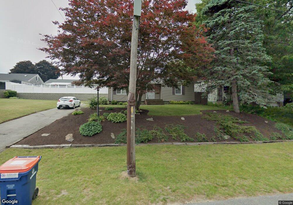
477 Hawes St New Bedford, MA 02745
Acushnet-Pine Hill NeighborhoodEstimated Value: $414,000 - $455,000
2
Beds
1
Bath
1,109
Sq Ft
$397/Sq Ft
Est. Value
About This Home
This home is located at 477 Hawes St, New Bedford, MA 02745 and is currently estimated at $440,074, approximately $396 per square foot. 477 Hawes St is a home located in Bristol County with nearby schools including Charles S. Ashley Elementary School, Normandin Middle School, and New Bedford High School.
Ownership History
Date
Name
Owned For
Owner Type
Purchase Details
Closed on
Sep 5, 2017
Sold by
Sylvia Mathew J and Sylvia Kristy A
Bought by
Hawes Street Llc
Current Estimated Value
Purchase Details
Closed on
Aug 23, 2007
Sold by
Desmarais Gerard and Desmarais Norbert
Bought by
Sylvia Kristy A and Sylvia Mathew J
Home Financials for this Owner
Home Financials are based on the most recent Mortgage that was taken out on this home.
Original Mortgage
$235,000
Interest Rate
6.78%
Mortgage Type
Purchase Money Mortgage
Create a Home Valuation Report for This Property
The Home Valuation Report is an in-depth analysis detailing your home's value as well as a comparison with similar homes in the area
Home Values in the Area
Average Home Value in this Area
Purchase History
| Date | Buyer | Sale Price | Title Company |
|---|---|---|---|
| Hawes Street Llc | -- | -- | |
| Hawes Street Llc | -- | -- | |
| Sylvia Kristy A | $235,000 | -- | |
| Sylvia Kristy A | $235,000 | -- |
Source: Public Records
Mortgage History
| Date | Status | Borrower | Loan Amount |
|---|---|---|---|
| Previous Owner | Sylvia Kristy A | $236,376 | |
| Previous Owner | Sylvia Kristy A | $235,000 |
Source: Public Records
Tax History Compared to Growth
Tax History
| Year | Tax Paid | Tax Assessment Tax Assessment Total Assessment is a certain percentage of the fair market value that is determined by local assessors to be the total taxable value of land and additions on the property. | Land | Improvement |
|---|---|---|---|---|
| 2025 | $4,697 | $415,300 | $158,400 | $256,900 |
| 2024 | $4,484 | $373,700 | $158,400 | $215,300 |
| 2023 | $4,607 | $322,400 | $130,500 | $191,900 |
| 2022 | $4,105 | $271,300 | $121,200 | $150,100 |
| 2021 | $4,105 | $263,300 | $118,800 | $144,500 |
| 2020 | $3,982 | $246,400 | $118,800 | $127,600 |
| 2019 | $3,872 | $235,100 | $118,800 | $116,300 |
| 2018 | $3,609 | $217,000 | $118,800 | $98,200 |
| 2017 | $3,353 | $200,900 | $111,800 | $89,100 |
| 2016 | $3,064 | $185,800 | $107,200 | $78,600 |
| 2015 | $2,894 | $184,000 | $107,200 | $76,800 |
| 2014 | $2,673 | $176,300 | $107,200 | $69,100 |
Source: Public Records
Map
Nearby Homes
- 506 Hawes St
- 398 Brockton St
- 362 Prescott St
- 683 Church St
- 209 Jarry St
- 447 Wood St
- 6 Illinois St
- 1024 Marion St
- 65 Armsby St
- 11 Moynan St
- 424 Church St
- 187 Tarkiln Hill Rd
- 263 Hersom St
- 98 Seabury St
- 0 Church Dutton & Chaffee Unit 73371719
- 1164 Victoria St
- 1158 Joyce St
- 1044 Victoria St Unit B-29
- 9 Middlefield Place
- 223 225 Prinston