477 Kaufman Rd Somerset, MA 02726
Brayton Point NeighborhoodEstimated Value: $444,000 - $520,000
3
Beds
2
Baths
1,120
Sq Ft
$426/Sq Ft
Est. Value
About This Home
This home is located at 477 Kaufman Rd, Somerset, MA 02726 and is currently estimated at $477,166, approximately $426 per square foot. 477 Kaufman Rd is a home located in Bristol County with nearby schools including South Elementary School, Somerset Middle School, and St. Michael's School.
Ownership History
Date
Name
Owned For
Owner Type
Purchase Details
Closed on
May 2, 2000
Sold by
Huang Xian Luo and Wong Kin
Bought by
Miranda Helen M and Gomes Michael G
Current Estimated Value
Purchase Details
Closed on
Jun 24, 1991
Sold by
Silva Alfred and Silva Evelyn M
Bought by
Huang Xian L and Huang Hui Xiao
Home Financials for this Owner
Home Financials are based on the most recent Mortgage that was taken out on this home.
Original Mortgage
$60,000
Interest Rate
9.37%
Mortgage Type
Purchase Money Mortgage
Create a Home Valuation Report for This Property
The Home Valuation Report is an in-depth analysis detailing your home's value as well as a comparison with similar homes in the area
Home Values in the Area
Average Home Value in this Area
Purchase History
| Date | Buyer | Sale Price | Title Company |
|---|---|---|---|
| Miranda Helen M | $142,000 | -- | |
| Miranda Helen M | $142,000 | -- | |
| Huang Xian L | $138,500 | -- | |
| Huang Xian L | $138,500 | -- |
Source: Public Records
Mortgage History
| Date | Status | Borrower | Loan Amount |
|---|---|---|---|
| Previous Owner | Huang Xian L | $475,000 | |
| Previous Owner | Huang Xian L | $60,000 |
Source: Public Records
Tax History
| Year | Tax Paid | Tax Assessment Tax Assessment Total Assessment is a certain percentage of the fair market value that is determined by local assessors to be the total taxable value of land and additions on the property. | Land | Improvement |
|---|---|---|---|---|
| 2025 | $5,453 | $410,000 | $186,600 | $223,400 |
| 2024 | $5,135 | $401,500 | $186,600 | $214,900 |
| 2023 | $4,500 | $354,900 | $162,300 | $192,600 |
| 2022 | $4,165 | $313,400 | $140,900 | $172,500 |
| 2021 | $362 | $286,300 | $127,900 | $158,400 |
| 2020 | $363 | $274,600 | $128,700 | $145,900 |
| 2019 | $4,769 | $261,300 | $128,700 | $132,600 |
| 2018 | $4,232 | $249,500 | $127,400 | $122,100 |
| 2017 | $4,133 | $237,500 | $121,500 | $116,000 |
| 2016 | $4,159 | $237,500 | $121,500 | $116,000 |
| 2015 | $3,994 | $230,200 | $122,300 | $107,900 |
| 2014 | $5,663 | $234,500 | $122,300 | $112,200 |
Source: Public Records
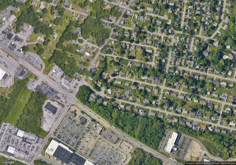
Map
Nearby Homes
- 1706 Brayton Point Rd
- 35 Randall Ave
- 60 Aetna St
- 197 Alberta Ave
- 7 Bradley Ave
- 33 Hodges Ave
- 131 Chateau Dr
- 33 Rhinecliffe Rd
- 125 George St
- 700 Lees River Ave Unit 15
- 766 Lees River Ave
- 960 Lees River Ave
- 992 Lees River Ave
- 675 Lees River Ave
- 1022 Riverside Ave
- 1174 Riverside Ave
- 8 Westhill Ave
- 34 Doherty Ave
- 90 Evergreen Ave
- 115 River Rd
Your Personal Tour Guide
Ask me questions while you tour the home.