477 Laurel Ridge Ln Ball Ground, GA 30107
Estimated Value: $1,032,000 - $1,639,893
2
Beds
4
Baths
4,497
Sq Ft
$286/Sq Ft
Est. Value
About This Home
This home is located at 477 Laurel Ridge Ln, Ball Ground, GA 30107 and is currently estimated at $1,285,473, approximately $285 per square foot. 477 Laurel Ridge Ln is a home with nearby schools including Clayton Elementary School, Teasley Middle School, and Cherokee High School.
Ownership History
Date
Name
Owned For
Owner Type
Purchase Details
Closed on
Jun 4, 2021
Sold by
Rousseau William Jeremy
Bought by
Whitecliffe Jason and Whitecliff Jennifer
Current Estimated Value
Purchase Details
Closed on
Oct 19, 2017
Sold by
Smith Fred
Bought by
Rousseau Kimberly Hamon and Rousseau William J
Home Financials for this Owner
Home Financials are based on the most recent Mortgage that was taken out on this home.
Original Mortgage
$145,000
Interest Rate
3.83%
Mortgage Type
New Conventional
Create a Home Valuation Report for This Property
The Home Valuation Report is an in-depth analysis detailing your home's value as well as a comparison with similar homes in the area
Home Values in the Area
Average Home Value in this Area
Purchase History
| Date | Buyer | Sale Price | Title Company |
|---|---|---|---|
| Whitecliffe Jason | $128,750 | -- | |
| Rousseau Kimberly Hamon | $150,000 | -- |
Source: Public Records
Mortgage History
| Date | Status | Borrower | Loan Amount |
|---|---|---|---|
| Previous Owner | Rousseau Kimberly Hamon | $145,000 |
Source: Public Records
Tax History Compared to Growth
Tax History
| Year | Tax Paid | Tax Assessment Tax Assessment Total Assessment is a certain percentage of the fair market value that is determined by local assessors to be the total taxable value of land and additions on the property. | Land | Improvement |
|---|---|---|---|---|
| 2024 | $9,380 | $511,880 | $183,040 | $328,840 |
| 2023 | $7,554 | $489,120 | $183,040 | $306,080 |
| 2022 | $7,178 | $537,040 | $265,400 | $271,640 |
| 2021 | $6,275 | $373,000 | $153,560 | $219,440 |
| 2020 | $5,892 | $362,360 | $156,480 | $205,880 |
| 2019 | $4,686 | $164,920 | $73,880 | $91,040 |
| 2018 | $1,521 | $53,200 | $53,200 | $0 |
| 2017 | $468 | $81,200 | $32,480 | $0 |
| 2016 | $236 | $20,300 | $8,120 | $0 |
| 2015 | $239 | $20,300 | $8,120 | $0 |
| 2014 | $239 | $20,300 | $8,120 | $0 |
Source: Public Records
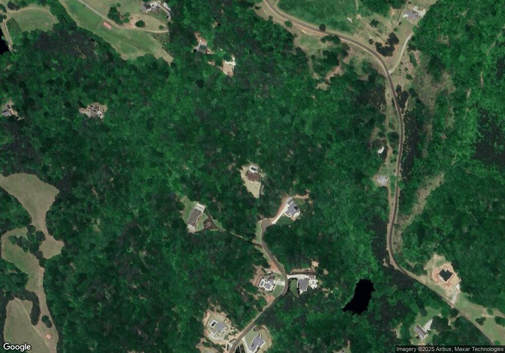
Map
Nearby Homes
- 711 Hornage Rd
- 171 Bluff Creek Ln
- 285 Old Hornage Rd
- 946 Essic Rd
- LOT 13 N Olivia Ln
- 106 Shalea Ln
- 257 Martin Ln
- 1089 Damascus Rd
- 0 Upper Bethany Rd Unit 10574949
- 0 Upper Bethany Rd Unit 7619918
- 2243 Damascus Rd
- 2980 Lower Bethany Rd
- 873 Long Rd
- 187 Long Rd
- 1010 Martin Ln
- 1592 Howell Bridge Rd
- 1584 Howell Bridge Rd
- 617 Valdosta Dr
- 1560 Howell Bridge Rd
- 458 Laurel Ridge Ln
- 383 Laurel Ridge Ln
- 283 Laurel Ridge Ln
- 285 Laurel Ridge Ln
- 731 Weatherby Rd
- 300 Laurel Ridge Ln
- 115 Brighton Rd
- 147 Brighton Rd
- 241 Laurel Ridge Ln
- 651 Weatherby Rd Unit 126
- 654 Weatherby Rd
- 668 Weatherby Rd
- 0 Laurel Ridge Ln Unit 7 8235226
- 0 Laurel Ridge Ln Unit 6 8235219
- 0 Laurel Ridge Ln Unit 8 8235233
- 0 Laurel Ridge Ln Unit 9 8229200
- 0 Laurel Ridge Ln Unit 2 8228205
- 0 Laurel Ridge Ln Unit 4 8228215
- 0 Laurel Ridge Ln Unit 5 8228244
- 0 Laurel Ridge Ln Unit 1 8226186