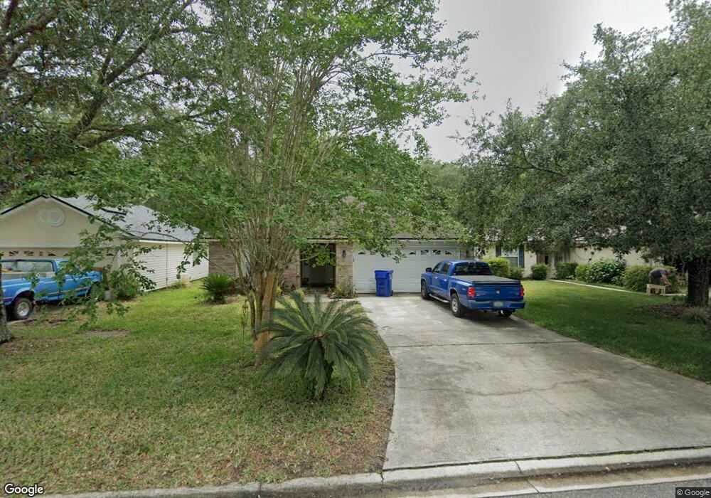
477 Mackenzie Cir Unit 2 Saint Augustine, FL 32092
Estimated Value: $341,000 - $380,000
4
Beds
2
Baths
1,724
Sq Ft
$205/Sq Ft
Est. Value
About This Home
This home is located at 477 Mackenzie Cir Unit 2, Saint Augustine, FL 32092 and is currently estimated at $353,418, approximately $204 per square foot. 477 Mackenzie Cir Unit 2 is a home located in St. Johns County with nearby schools including Picolata Crossing Elementary School, Pacetti Bay Middle School, and Mill Creek Baptist Christian Academy.
Ownership History
Date
Name
Owned For
Owner Type
Purchase Details
Closed on
Apr 25, 2003
Sold by
Tousa Homes Inc
Bought by
Schroeder Clayton W
Current Estimated Value
Home Financials for this Owner
Home Financials are based on the most recent Mortgage that was taken out on this home.
Original Mortgage
$109,650
Outstanding Balance
$47,485
Interest Rate
5.86%
Mortgage Type
Purchase Money Mortgage
Estimated Equity
$305,933
Create a Home Valuation Report for This Property
The Home Valuation Report is an in-depth analysis detailing your home's value as well as a comparison with similar homes in the area
Purchase History
| Date | Buyer | Sale Price | Title Company |
|---|---|---|---|
| Schroeder Clayton W | $137,100 | -- |
Source: Public Records
Mortgage History
| Date | Status | Borrower | Loan Amount |
|---|---|---|---|
| Open | Schroeder Clayton W | $109,650 |
Source: Public Records
Tax History
| Year | Tax Paid | Tax Assessment Tax Assessment Total Assessment is a certain percentage of the fair market value that is determined by local assessors to be the total taxable value of land and additions on the property. | Land | Improvement |
|---|---|---|---|---|
| 2025 | $1,348 | $133,081 | -- | -- |
| 2024 | $1,348 | $129,330 | -- | -- |
| 2023 | $1,348 | $125,563 | $0 | $0 |
| 2022 | $1,293 | $121,906 | $0 | $0 |
| 2021 | $1,275 | $118,355 | $0 | $0 |
| 2020 | $1,267 | $116,721 | $0 | $0 |
| 2019 | $1,278 | $114,097 | $0 | $0 |
| 2018 | $1,254 | $111,970 | $0 | $0 |
| 2017 | $1,245 | $109,667 | $0 | $0 |
| 2016 | $1,240 | $110,633 | $0 | $0 |
| 2015 | $1,257 | $109,864 | $0 | $0 |
| 2014 | $1,258 | $108,992 | $0 | $0 |
Source: Public Records
Map
Nearby Homes
- 852 Mackenzie Cir
- 861 Mackenzie Cir
- 3541 Pacetti Rd
- 4232 S Franklinia St
- 3732 Berenstain Dr
- 4208 S Franklinia St
- 930 Wynfield Cir
- 36 Sunberry Way
- 49 Sunberry Way
- 80 Oak Cluster Ln
- 64 Oak Cluster Ln
- 2844 Oakgrove Ave
- 312 Clarys Run
- 182 Amberwood Dr
- 308 Ferndale Way
- 214 Pepperpike Way
- 177 Clarys Run
- 169 Clarys Run
- 1208 Wildfair Ct
- 103 Ferndale Way
- 481 Mackenzie Cir
- 473 Mackenzie Cir
- 485 Mackenzie Cir
- 469 Mackenzie Cir
- 489 Mackenzie Cir
- 465 Mackenzie Cir
- 461 Mackenzie Cir
- 493 Mackenzie Cir
- 474 Mackenzie Cir
- 478 Mackenzie Cir
- 497 Mackenzie Cir
- 490 Mackenzie Cir
- 457 Mackenzie Cir
- 486 Mackenzie Cir
- 496 Mackenzie Cir
- 501 Mackenzie Cir
- 453 Mackenzie Cir
- 1202 Ardmore St
- 1206 Ardmore St
- 1210 Ardmore St
Your Personal Tour Guide
Ask me questions while you tour the home.