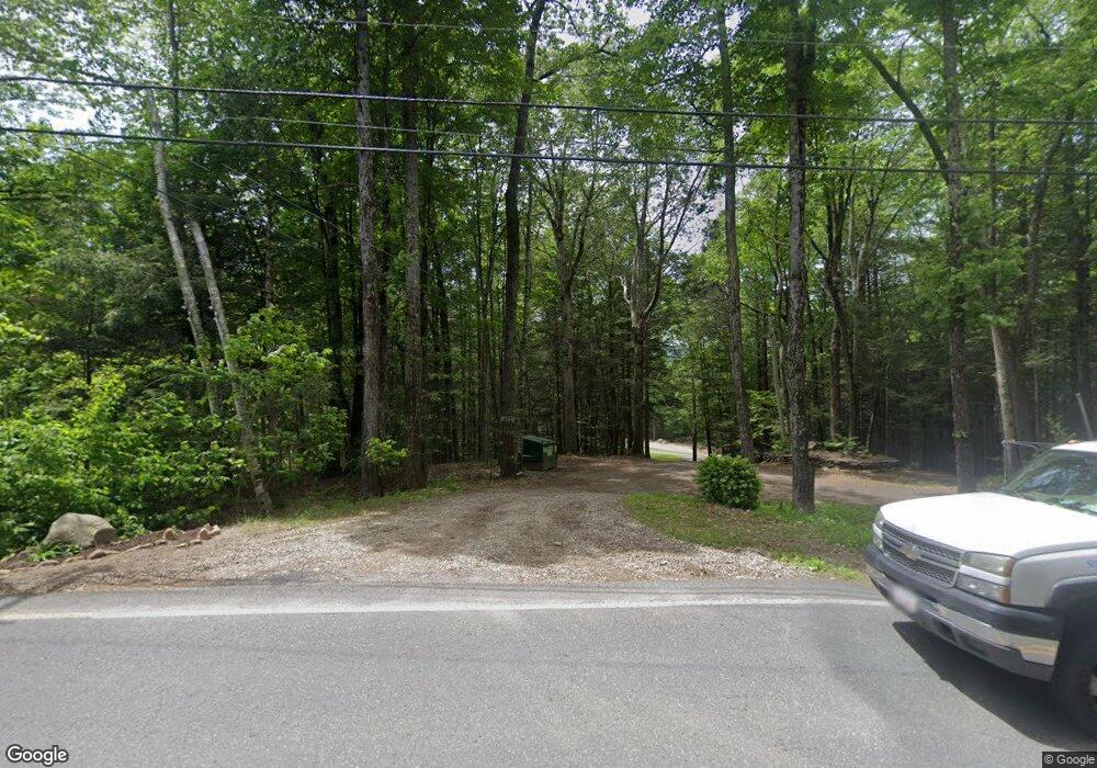
477 Main Rd Westfield, MA 01085
Estimated Value: $469,000 - $601,000
3
Beds
2
Baths
3,472
Sq Ft
$156/Sq Ft
Est. Value
About This Home
This home is located at 477 Main Rd, Westfield, MA 01085 and is currently estimated at $541,824, approximately $156 per square foot. 477 Main Rd is a home with nearby schools including Gateway Regional High School.
Ownership History
Date
Name
Owned For
Owner Type
Purchase Details
Closed on
Jun 22, 2018
Sold by
Adams Stephen M
Bought by
Mccue Thomas
Current Estimated Value
Home Financials for this Owner
Home Financials are based on the most recent Mortgage that was taken out on this home.
Original Mortgage
$337,920
Outstanding Balance
$292,244
Interest Rate
4.5%
Mortgage Type
VA
Estimated Equity
$249,580
Purchase Details
Closed on
Aug 28, 2014
Sold by
Reardon Timothy J and Reardon Virginia E
Bought by
Adams Stephen M
Home Financials for this Owner
Home Financials are based on the most recent Mortgage that was taken out on this home.
Original Mortgage
$314,285
Interest Rate
4.14%
Mortgage Type
New Conventional
Create a Home Valuation Report for This Property
The Home Valuation Report is an in-depth analysis detailing your home's value as well as a comparison with similar homes in the area
Home Values in the Area
Average Home Value in this Area
Purchase History
| Date | Buyer | Sale Price | Title Company |
|---|---|---|---|
| Mccue Thomas | $330,000 | -- | |
| Adams Stephen M | $308,000 | -- |
Source: Public Records
Mortgage History
| Date | Status | Borrower | Loan Amount |
|---|---|---|---|
| Open | Mccue Thomas | $337,920 | |
| Previous Owner | Adams Stephen M | $314,285 |
Source: Public Records
Tax History Compared to Growth
Tax History
| Year | Tax Paid | Tax Assessment Tax Assessment Total Assessment is a certain percentage of the fair market value that is determined by local assessors to be the total taxable value of land and additions on the property. | Land | Improvement |
|---|---|---|---|---|
| 2025 | $5,652 | $498,400 | $92,800 | $405,600 |
| 2024 | $5,584 | $438,300 | $92,800 | $345,500 |
| 2023 | $5,487 | $369,500 | $85,200 | $284,300 |
| 2022 | $5,155 | $369,500 | $85,200 | $284,300 |
| 2021 | $4,912 | $353,400 | $85,200 | $268,200 |
| 2020 | $4,202 | $308,500 | $84,100 | $224,400 |
| 2019 | $4,078 | $308,500 | $84,100 | $224,400 |
| 2018 | $4,033 | $301,400 | $84,100 | $217,300 |
| 2017 | $4,036 | $292,700 | $89,600 | $203,100 |
| 2016 | $4,153 | $292,700 | $89,600 | $203,100 |
| 2015 | $4,106 | $285,700 | $89,600 | $196,100 |
| 2014 | $4,243 | $298,800 | $99,500 | $199,300 |
Source: Public Records
Map
Nearby Homes
- 16 Crescent St
- 7 Stanton Ave
- 1172 Huntington Rd
- 8 Basket St
- 0 Old Chester Rd
- 25 Basket St
- 9 Russell Rd
- 0 Goss Hill Rd Unit 73369147
- 49 Old Chester Rd
- 11 Mount Laurel Dr Unit 57
- 347 Huntington Rd
- 14 Sampson Rd
- 0 Skyline Trail
- 31 Skyline Trail
- 510 Pine Hill Rd
- 0 Pond Brook Rd Unit 73326747
- 79 Pine Ridge Rd
- 12 Pond Brook Rd
- 1 Searle Rd
- 58 North Rd
- 477 Main Rd
- 475 Main Rd
- 9 Carrington Rd
- 11 Carrington Rd
- 24 Lambson Rd
- 27 Carrington Rd
- 494 Main Rd
- 7 Carrington Rd
- 14 Carrington Rd
- 23 Lambson Rd
- 1 Carrington Rd
- 39 Carrington Rd
- 34 Carrington Rd
- 506 Main Rd
- 20 Carrington Rd
- 0 Lambson Rd
- 0 Carrington Rd Unit 72261290
- 0 Carrington Rd Unit 71678387
- 0 Carrington Rd Unit 71834723
- 0 Carrington Rd Unit 71834721
