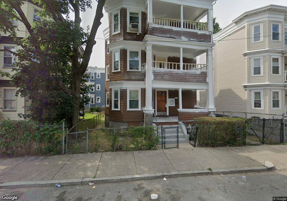
477 Norfolk St Mattapan, MA 02126
Wellington Hill NeighborhoodEstimated Value: $633,083 - $1,072,000
3
Beds
1
Bath
1,000
Sq Ft
$914/Sq Ft
Est. Value
About This Home
This home is located at 477 Norfolk St, Mattapan, MA 02126 and is currently estimated at $913,771, approximately $913 per square foot. 477 Norfolk St is a home located in Suffolk County with nearby schools including KIPP Academy Boston Charter School and Berea Seventh-day Adventist Academy.
Ownership History
Date
Name
Owned For
Owner Type
Purchase Details
Closed on
Aug 4, 2006
Sold by
Rose-Thompson Valrie J and Thompson Victor G
Bought by
Thompson Victor G
Current Estimated Value
Purchase Details
Closed on
Mar 16, 1988
Sold by
Smith Gregory L
Bought by
Thompson Victor G
Home Financials for this Owner
Home Financials are based on the most recent Mortgage that was taken out on this home.
Original Mortgage
$121,500
Interest Rate
9.88%
Mortgage Type
Purchase Money Mortgage
Create a Home Valuation Report for This Property
The Home Valuation Report is an in-depth analysis detailing your home's value as well as a comparison with similar homes in the area
Home Values in the Area
Average Home Value in this Area
Purchase History
| Date | Buyer | Sale Price | Title Company |
|---|---|---|---|
| Thompson Victor G | -- | -- | |
| Thompson Victor G | $135,000 | -- |
Source: Public Records
Mortgage History
| Date | Status | Borrower | Loan Amount |
|---|---|---|---|
| Open | Thompson Victor G | $216,218 | |
| Previous Owner | Thompson Victor G | $109,180 | |
| Previous Owner | Thompson Victor G | $121,500 |
Source: Public Records
Tax History Compared to Growth
Tax History
| Year | Tax Paid | Tax Assessment Tax Assessment Total Assessment is a certain percentage of the fair market value that is determined by local assessors to be the total taxable value of land and additions on the property. | Land | Improvement |
|---|---|---|---|---|
| 2025 | $9,254 | $799,100 | $227,900 | $571,200 |
| 2024 | $8,171 | $749,600 | $229,900 | $519,700 |
| 2023 | $7,523 | $700,500 | $214,800 | $485,700 |
| 2022 | $6,929 | $636,900 | $195,300 | $441,600 |
| 2021 | $6,796 | $636,900 | $195,300 | $441,600 |
| 2020 | $5,480 | $518,900 | $200,900 | $318,000 |
| 2019 | $4,971 | $471,600 | $145,300 | $326,300 |
| 2018 | $4,412 | $421,000 | $145,300 | $275,700 |
| 2017 | $4,370 | $412,700 | $145,300 | $267,400 |
| 2016 | $4,127 | $375,200 | $145,300 | $229,900 |
| 2015 | $3,916 | $323,400 | $101,800 | $221,600 |
| 2014 | $3,633 | $288,800 | $101,800 | $187,000 |
Source: Public Records
Map
Nearby Homes
- 18 Astoria St
- 10 Sutton St
- 5 Sutton St
- 5 Sutton St Unit 3B
- 10 Hosmer St
- 67 Wildwood St
- 23 Fessenden St
- 25 Fessenden St
- 567B Norfolk St
- 15-17 W Selden St
- 157 Delhi St
- 808 Morton St Unit 3
- 6 Deering Rd
- 24 Marden Ave
- 139 Selden St
- 710 Walk Hill St
- 68 Mascot St
- 124 Selden St
- 30 Glenhill Rd
- 45 1st Ave Unit 111
- 475 Norfolk St
- 475 Norfolk St Unit 2
- 481 Norfolk St
- 52 Hosmer St
- 52 Hosmer St Unit 3
- 52 Hosmer St Unit 2
- 471 Norfolk St
- 471 Norfolk St Unit 3
- 469 Norfolk St
- 469 Norfolk St Unit 1
- 67 Woolson St
- 50 Hosmer St
- 472 Norfolk St
- 65 Woolson St
- 48 Hosmer St Unit 3
- 48 Hosmer St Unit 2
- 48 Hosmer St Unit 1
- 48 Hosmer St Unit 3,48
- 468 Norfolk St
- 63 Woolson St