Estimated Value: $549,000 - $600,000
4
Beds
3
Baths
2,312
Sq Ft
$249/Sq Ft
Est. Value
About This Home
This home is located at 477 Oakham Rd, Barre, MA 01005 and is currently estimated at $575,105, approximately $248 per square foot. 477 Oakham Rd is a home located in Worcester County with nearby schools including Quabbin Regional Middle School and Quabbin Regional High School.
Ownership History
Date
Name
Owned For
Owner Type
Purchase Details
Closed on
Sep 28, 2006
Sold by
Tb Rlty and Terkanian
Bought by
Sheridan Karen V and Sheridan Scott N
Current Estimated Value
Home Financials for this Owner
Home Financials are based on the most recent Mortgage that was taken out on this home.
Original Mortgage
$274,400
Outstanding Balance
$162,587
Interest Rate
6.52%
Mortgage Type
Purchase Money Mortgage
Estimated Equity
$412,518
Create a Home Valuation Report for This Property
The Home Valuation Report is an in-depth analysis detailing your home's value as well as a comparison with similar homes in the area
Home Values in the Area
Average Home Value in this Area
Purchase History
| Date | Buyer | Sale Price | Title Company |
|---|---|---|---|
| Sheridan Karen V | $343,000 | -- | |
| Sheridan Karen V | $343,000 | -- |
Source: Public Records
Mortgage History
| Date | Status | Borrower | Loan Amount |
|---|---|---|---|
| Open | Sheridan Karen V | $274,400 | |
| Closed | Sheridan Karen V | $274,400 |
Source: Public Records
Tax History
| Year | Tax Paid | Tax Assessment Tax Assessment Total Assessment is a certain percentage of the fair market value that is determined by local assessors to be the total taxable value of land and additions on the property. | Land | Improvement |
|---|---|---|---|---|
| 2025 | $7,657 | $563,400 | $65,600 | $497,800 |
| 2024 | $6,020 | $430,600 | $48,800 | $381,800 |
| 2023 | $6,829 | $430,600 | $48,800 | $381,800 |
| 2022 | $6,889 | $409,100 | $41,800 | $367,300 |
| 2021 | $6,406 | $355,900 | $41,800 | $314,100 |
| 2020 | $6,156 | $344,500 | $41,800 | $302,700 |
| 2019 | $6,070 | $335,000 | $38,200 | $296,800 |
| 2018 | $5,950 | $316,500 | $38,200 | $278,300 |
| 2017 | $5,801 | $310,200 | $38,200 | $272,000 |
| 2016 | $5,142 | $288,900 | $34,500 | $254,400 |
| 2015 | $5,070 | $272,000 | $42,000 | $230,000 |
| 2014 | $4,331 | $269,700 | $49,200 | $220,500 |
Source: Public Records
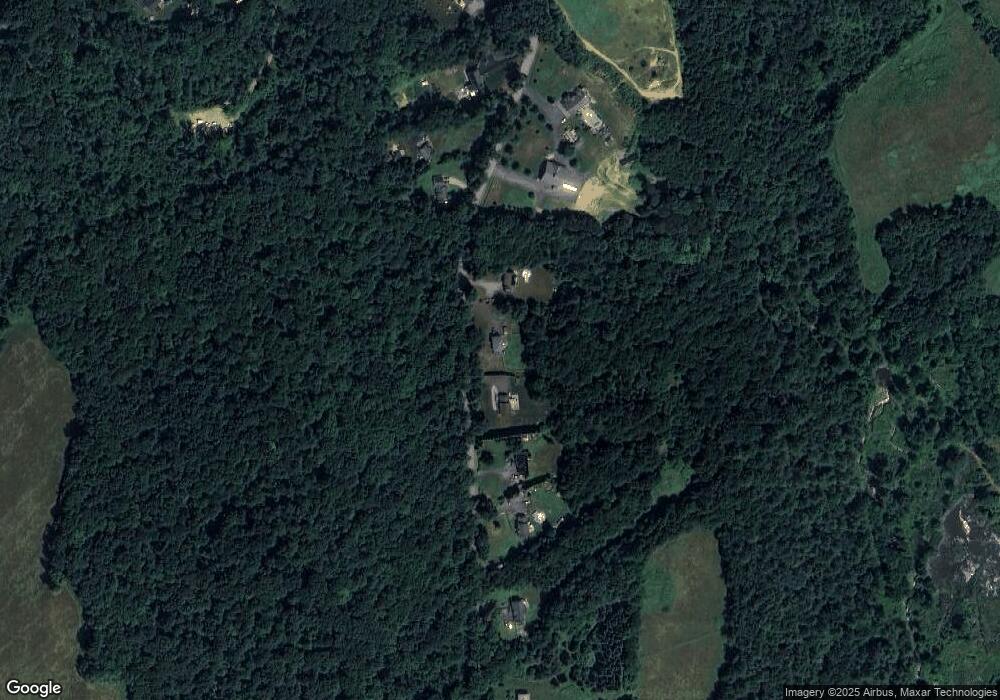
Map
Nearby Homes
- 0 Station Rd
- 106 Peach St
- 29 High St N
- 1940 Barre Rd
- 621 Woods Rd
- 661 Wheelwright Rd
- 572 Wheelwright Rd
- 23 Trafalgar Square Unit 23
- 865 S Barre Rd
- 38 Edson Rd
- 1215 South St
- 0 Bullard Rd
- 926 Old Turnpike Rd
- 1109 New Braintree Rd
- 58 Ruggles St
- 716 Hardwick Rd
- 256 Worcester Rd
- 67 Maple St
- 5 Old Coldbrook Rd
- 1350 Thresher Rd
- Lot 0 Oakham Rd
- 501 Oakham Rd
- 463 Oakham Rd
- 545 Oakham Rd
- 515 Oakham Rd
- 442 Oakham Rd
- 529 Oakham Rd
- 422 Oakham Rd
- 511 Oakham Rd
- 425 Oakham Rd
- 412 Oakham Rd
- 388 Oakham Rd
- 186 Barre Plains Rd
- 362 Oakham Rd
- 418 Britton Rd E
- 422 Britton Rd E
- 320 Oakham Rd
- Lot 18 Britton Rd E
- 120 Barre Plains Rd
- 149 Barre Plains Rd
Your Personal Tour Guide
Ask me questions while you tour the home.