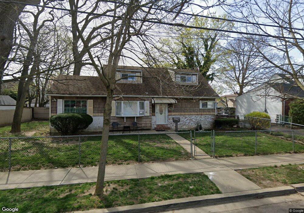
477 Ray St Freeport, NY 11520
Estimated Value: $509,107 - $626,000
Studio
1
Bath
1,187
Sq Ft
$478/Sq Ft
Est. Value
About This Home
This home is located at 477 Ray St, Freeport, NY 11520 and is currently estimated at $567,554, approximately $478 per square foot. 477 Ray St is a home located in Nassau County with nearby schools including Columbus Avenue School, Caroline G. Atkinson Intermediate School, and John W Dodd Middle School.
Ownership History
Date
Name
Owned For
Owner Type
Purchase Details
Closed on
Sep 19, 2023
Sold by
Baccas Newell Lorraine S and Newell Charles J
Bought by
Baccas Cheryse
Current Estimated Value
Purchase Details
Closed on
May 29, 2014
Sold by
Newell Charles J and Baccas Newell Lorraine
Bought by
Neweli Charles J and Baccas Newell Lorraine
Purchase Details
Closed on
Aug 18, 2011
Sold by
Newell Charles J and Newell Maryann
Bought by
Newell Charles J and Baccas Lorraine S
Create a Home Valuation Report for This Property
The Home Valuation Report is an in-depth analysis detailing your home's value as well as a comparison with similar homes in the area
Home Values in the Area
Average Home Value in this Area
Purchase History
| Date | Buyer | Sale Price | Title Company |
|---|---|---|---|
| Baccas Cheryse | -- | None Available | |
| Baccas Cheryse | -- | None Available | |
| Baccas Cheryse | -- | None Available | |
| Neweli Charles J | -- | -- | |
| Neweli Charles J | -- | -- | |
| Neweli Charles J | -- | -- | |
| Newell Charles J | -- | -- | |
| Newell Charles J | -- | -- | |
| Newell Charles J | -- | -- |
Source: Public Records
Tax History
| Year | Tax Paid | Tax Assessment Tax Assessment Total Assessment is a certain percentage of the fair market value that is determined by local assessors to be the total taxable value of land and additions on the property. | Land | Improvement |
|---|---|---|---|---|
| 2025 | $4,627 | $360 | $167 | $193 |
| 2024 | $552 | $360 | $167 | $193 |
Source: Public Records
Map
Nearby Homes
- 525 Ray St
- 463 S Bayview Ave
- 403 S Bayview Ave
- 116 Westend Ave Unit 8
- 153 Westend Ave
- 31 Anchor St Unit Y
- 48 Saint Marks Ave
- 47 Anchor St Unit Y
- 311 Park Ave
- 173 Cedar St
- 306 Park Ave
- 77 Hampton Place
- 210 Westend Ave Unit 8B
- 210 Westend Ave Unit 8A
- 160 Saint Marks Ave
- 119 S Bay Ave
- 2864 Eastern Blvd
- 8 Florence Ave Unit 16C
- 268 Locust Ave
- 12 Florence Ave Unit 29A
Your Personal Tour Guide
Ask me questions while you tour the home.