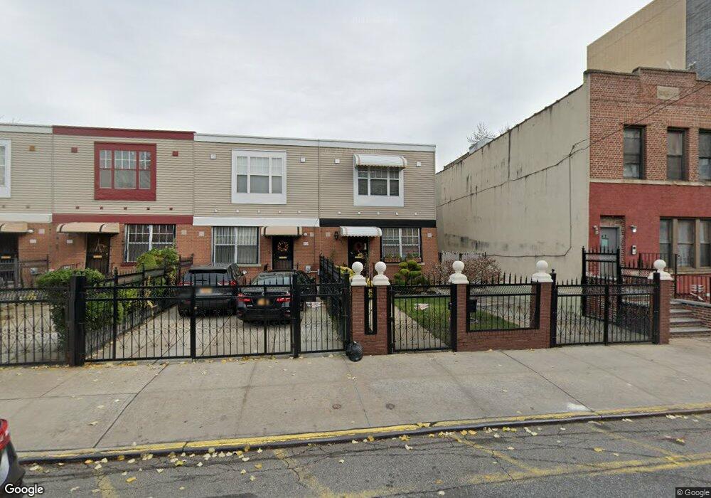
477 Sheffield Ave Brooklyn, NY 11207
Brownsville NeighborhoodEstimated Value: $584,537 - $726,000
--
Bed
--
Bath
1,296
Sq Ft
$513/Sq Ft
Est. Value
About This Home
This home is located at 477 Sheffield Ave, Brooklyn, NY 11207 and is currently estimated at $664,384, approximately $512 per square foot. 477 Sheffield Ave is a home located in Kings County with nearby schools including P.S. 13 Roberto Clemente, J.H.S 292 Margaret S. Douglas, and Achievement First - East New York School.
Ownership History
Date
Name
Owned For
Owner Type
Purchase Details
Closed on
Jun 14, 2007
Sold by
Charles-Christie Patsy
Bought by
Charles Patsy
Current Estimated Value
Purchase Details
Closed on
Jul 13, 2000
Sold by
Nehemiah Housing Development Fund Co Inc
Bought by
Christie Mark A and Charles Christie Patsy
Home Financials for this Owner
Home Financials are based on the most recent Mortgage that was taken out on this home.
Original Mortgage
$85,000
Outstanding Balance
$30,308
Interest Rate
8.18%
Estimated Equity
$634,076
Create a Home Valuation Report for This Property
The Home Valuation Report is an in-depth analysis detailing your home's value as well as a comparison with similar homes in the area
Home Values in the Area
Average Home Value in this Area
Purchase History
| Date | Buyer | Sale Price | Title Company |
|---|---|---|---|
| Charles Patsy | -- | -- | |
| Christie Mark A | $110,000 | Chicago Title Insurance Co |
Source: Public Records
Mortgage History
| Date | Status | Borrower | Loan Amount |
|---|---|---|---|
| Open | Christie Mark A | $85,000 | |
| Closed | Christie Mark A | $20,000 |
Source: Public Records
Tax History Compared to Growth
Tax History
| Year | Tax Paid | Tax Assessment Tax Assessment Total Assessment is a certain percentage of the fair market value that is determined by local assessors to be the total taxable value of land and additions on the property. | Land | Improvement |
|---|---|---|---|---|
| 2025 | $4,301 | $33,660 | $12,840 | $20,820 |
| 2024 | $4,301 | $36,180 | $12,840 | $23,340 |
| 2023 | $4,316 | $32,100 | $12,840 | $19,260 |
| 2022 | $4,003 | $29,940 | $12,840 | $17,100 |
| 2021 | $3,981 | $29,520 | $12,840 | $16,680 |
| 2020 | $1,752 | $25,860 | $12,840 | $13,020 |
| 2019 | $3,273 | $25,860 | $12,840 | $13,020 |
| 2018 | $2,937 | $17,710 | $6,708 | $11,002 |
| 2017 | $2,613 | $16,708 | $6,986 | $9,722 |
| 2016 | $2,180 | $15,764 | $6,042 | $9,722 |
| 2015 | $707 | $14,872 | $5,150 | $9,722 |
| 2014 | $707 | $14,872 | $5,150 | $9,722 |
Source: Public Records
Map
Nearby Homes
- 486 Vermont St
- 637 Blake Ave
- 477 Vermont St
- 444 New Jersey Ave
- 406 Hinsdale St
- 353 Pennsylvania Ave
- 421 New Lots Ave
- 427 New Lots Ave
- 439 Vermont St
- 297 Hinsdale St
- 576 Williams Ave
- 578 Williams Ave
- 412 Bradford St
- 582 Williams Ave
- 663 Sutter Ave
- 541 Hinsdale St
- 667 Sutter Ave
- 317 Pennsylvania Ave
- 606 Alabama Ave
- 533 Snediker Ave
- 475 Sheffield Ave
- 475 Sheffield Ave Unit 1FAMILY
- 473 Sheffield Ave
- 471 Sheffield Ave
- 479 Sheffield Ave
- 469 Sheffield Ave
- 467 Sheffield Ave
- 481 Sheffield Ave
- 465 Sheffield Ave
- 484 Pennsylvania Ave
- 486 Pennsylvania Ave
- 463 Sheffield Ave
- 480 Pennsylvania Ave
- 490 Pennsylvania Ave
- 478 Pennsylvania Ave
- 492 Pennsylvania Ave
- 461 Sheffield Ave
- 474 Pennsylvania Ave
- 459 Sheffield Ave
- 470 Sheffield Ave